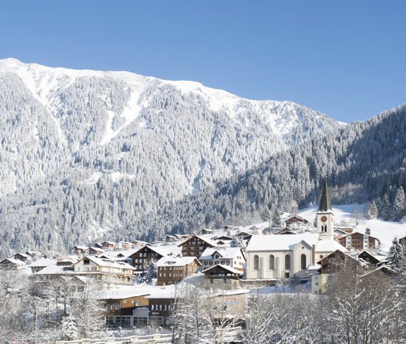
The bus stop at the valley terminal of the Versettlabahn lifts in Gaschurn is a good starting point. At the upper end of the car park, you cross the river Ill and immediately turn left to the Ill trail which follows a cross-country trail. From there, the route runs past the pilgrimage church of Maria Schnee, perched on a hilltop, which dates from the 17th century. Near the river Ill in Gaschurn take a stroll through the lower part of the village. After the underpass of the main road, you will reach the Mountain Beach summer recreational park.
Soon the cross-country trail branches off left at a camp site, while our hiking trail carries on straight ahead. If you are looking for an inn, turn off to the village of Gortipohl. The hiking trail continues to follow the old railroad line to the valley terminal of the Garfreschabahn lifts. Below the village of St. Gallenkirch, at a freestanding residential building, turn right to pick up a groomed footpath. From there, you reach the village centre and the parish church within 5 minutes.
The hiking trail is illuminated and can also be used during evening hours. The last return to Gaschurn (Bus No 85) leaves shortly after 7:00 p.m.
 © SAELY PATRICK PHOTOGRAPHY
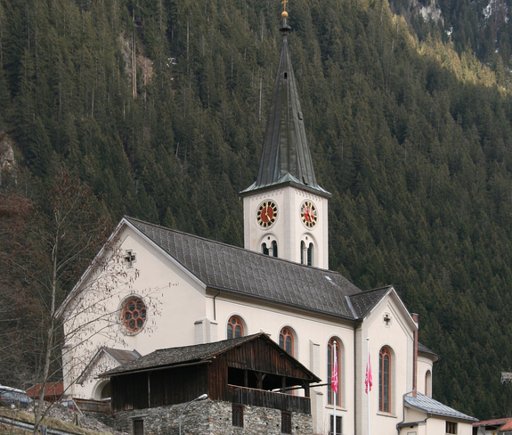
 © Krause, Johansen