Zum Inhalt springen (Alt+0)
Zum Hauptmenü springen (Alt+1)
My Montafon
My Montafon
Montafon mountain villages
Bartholomäberg
Gargellen
Gaschurn-Partenen
Schruns
Silbertal
Tschagguns
St. Anton in Montafon
St. Gallenkirch-Gortipohl
Vandans
Mountain cableways
Operating times
Prices and tickets
Culture
Museums and sights
Montafon dialect
Montafon traditional costume
The Montafon table
Montafon Stone Sheep
Montafon Brown Cattle
Alpine cattle drives
Alpine landscape
Organ landscape
Bonfire
Solstice
Alpine ore
Music
Montafon cuisine
Sura Kees
Alps & Alpine dairies
Montafon recipes
Restaurants in Montafon
Mountain breakfast in Montafon
Huts and mountain restaurants
bewusstmontafon
Hiking
Alpine-mosaic-montafon
Hiking-tours-and-excursions
Long-distance-hiking-trails
Themed-hiking-trails
Hiking-tips-and-safety
Hiking-bus
Montafon-hiking-villages
Skiing
Ski-resorts
Interaktive Karte Winter
Betriebszeiten Bergbahnen
Tickets und Preise Bergbahnen
further-experiences
Bergeplus
Biken
Bike-tours
Trailrunning
Freeriding
Winter-hiking-and-snowshoeing
Ski-touring
Events
FIS WM 2027
Host
Sustainability
Service
Montafon-a-z
Tourist-information-opening-hours
Arrival
Weather
Webcams
Tourism-advisory-board
+43 50 6686
info@montafon.at
Translations of this page
de
en
Live
11 °C / 23 °C
Webcams
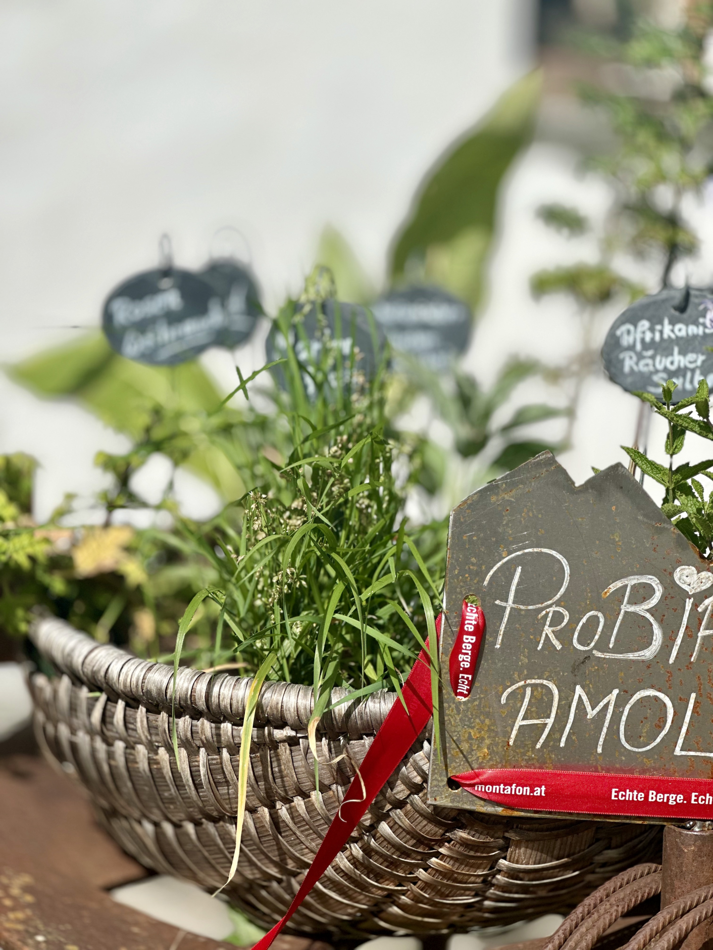
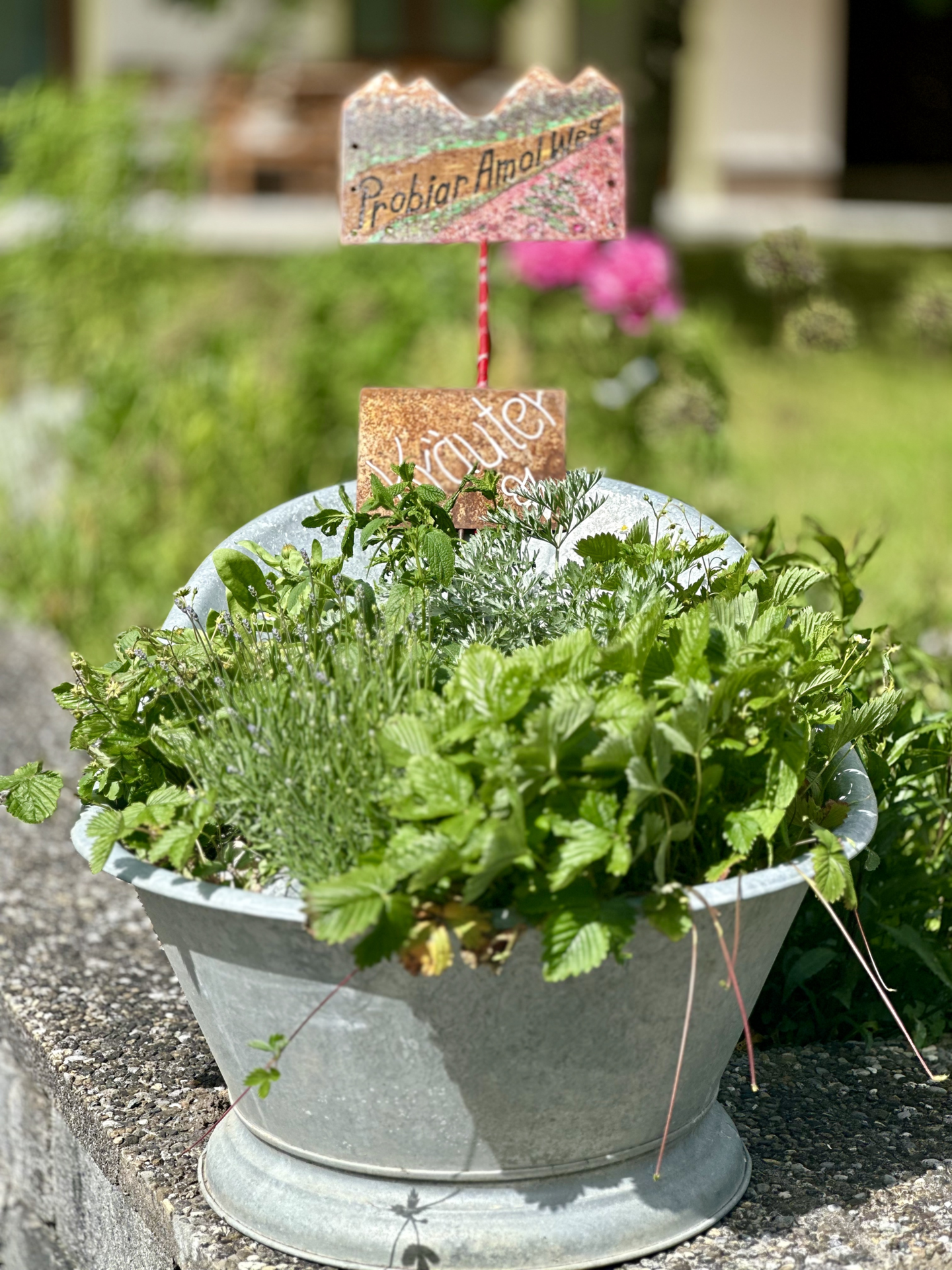
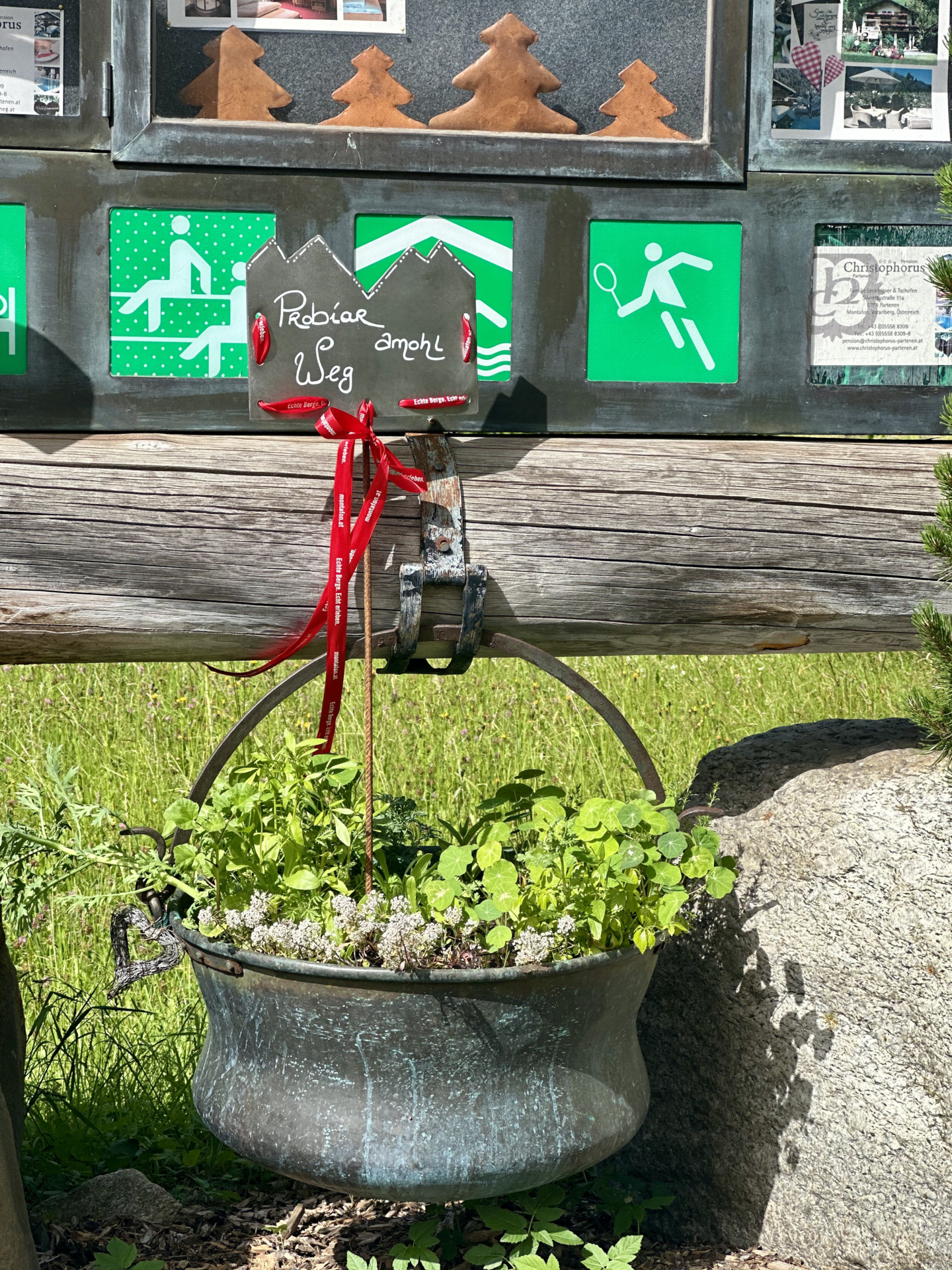
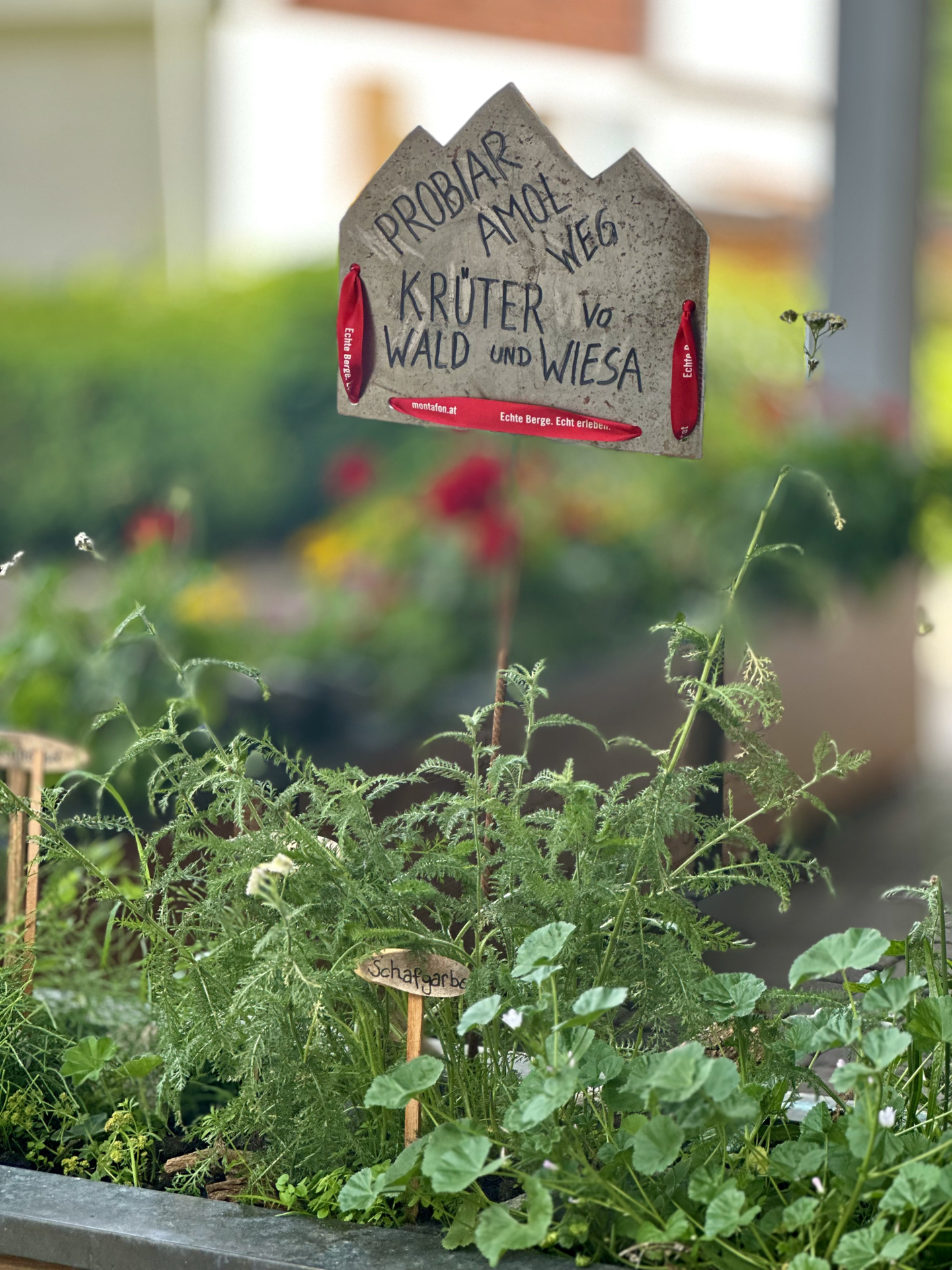
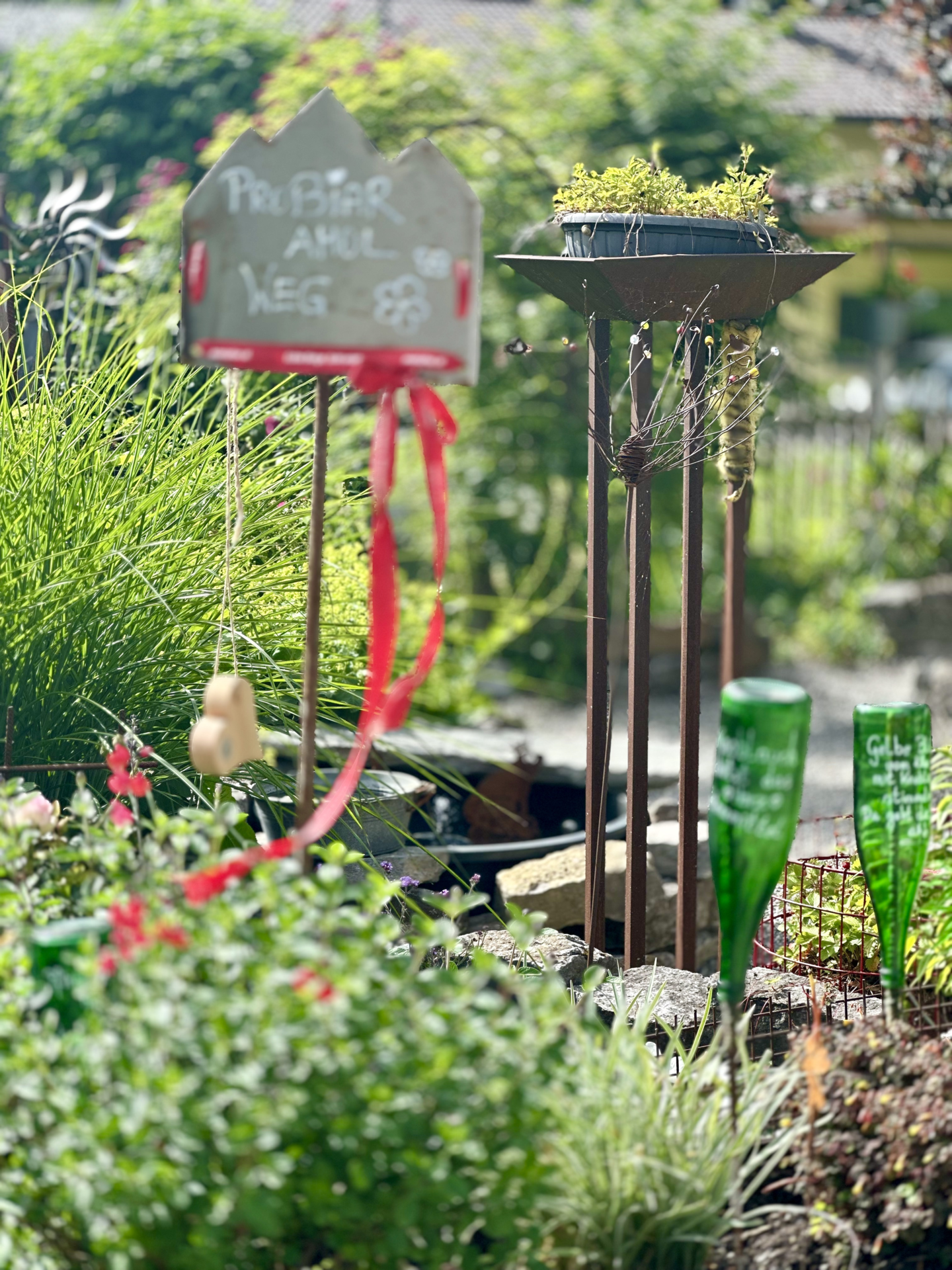
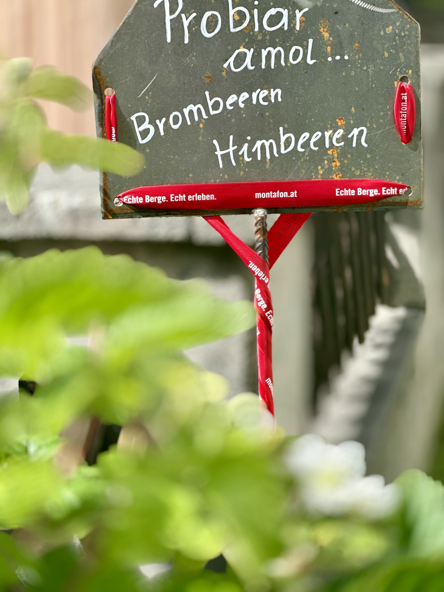
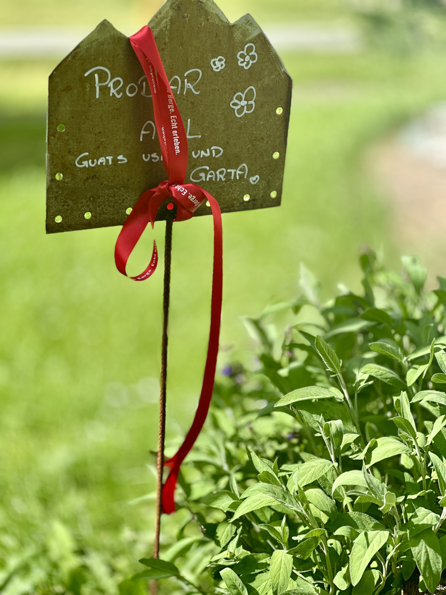
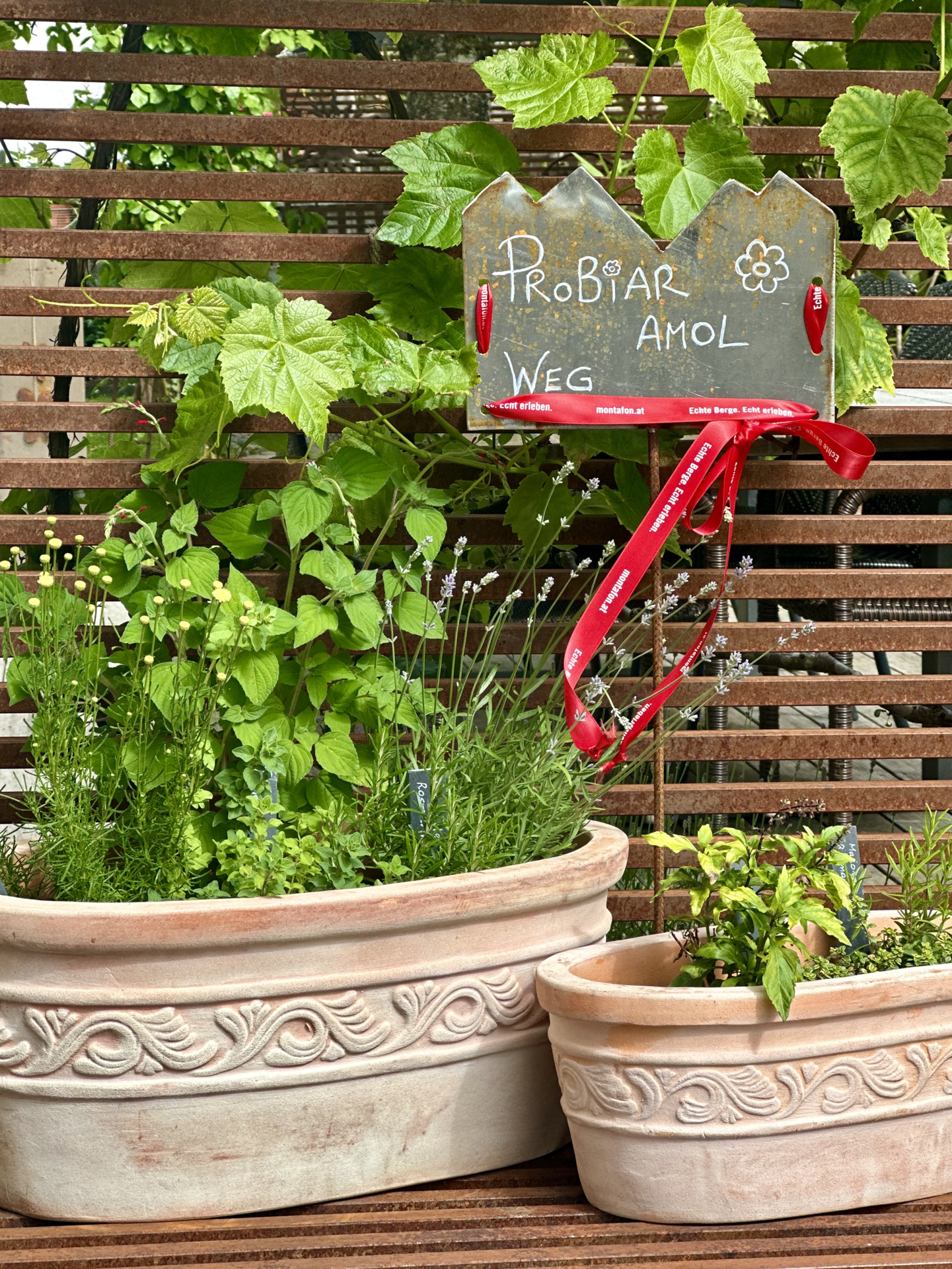
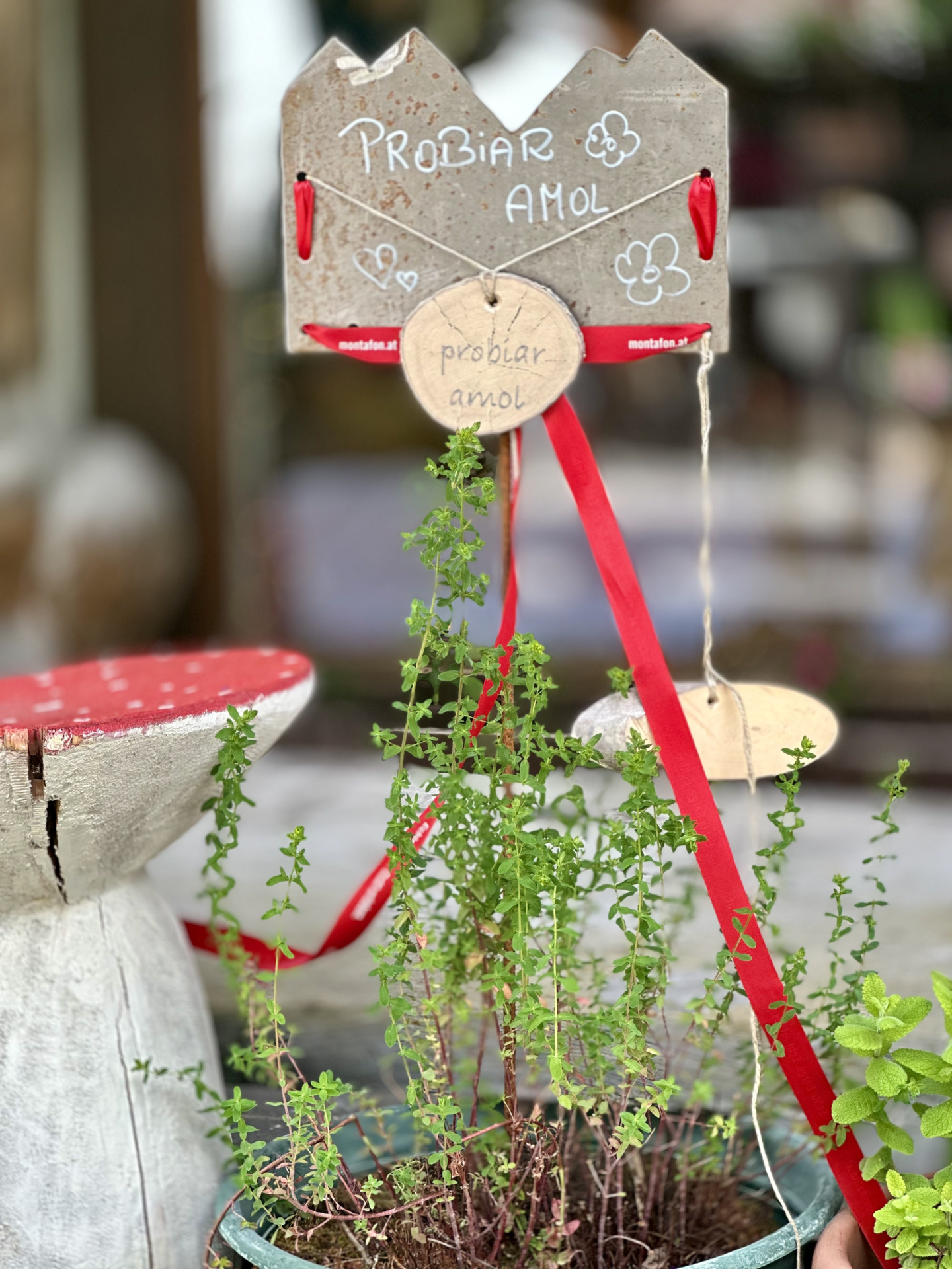
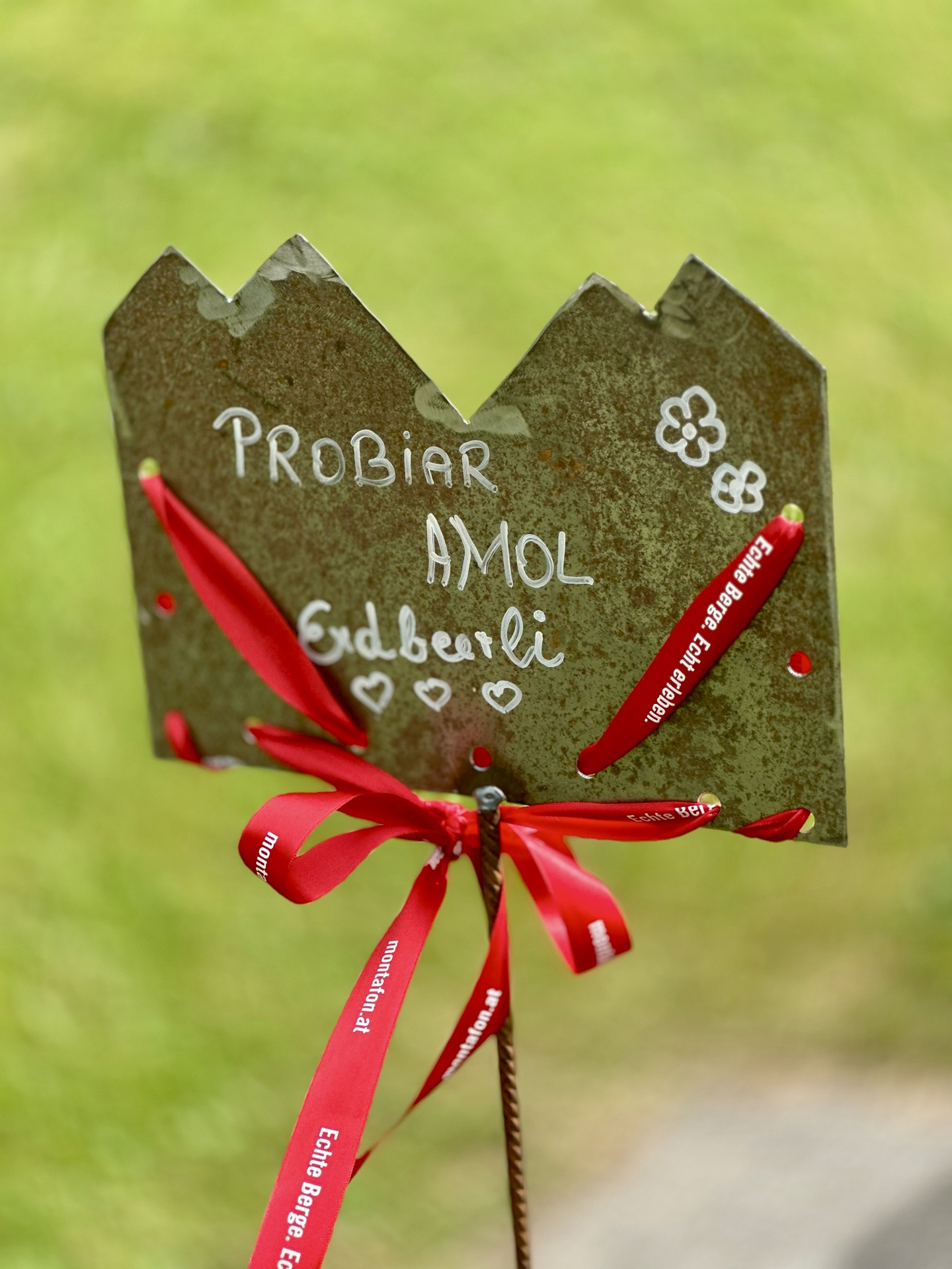
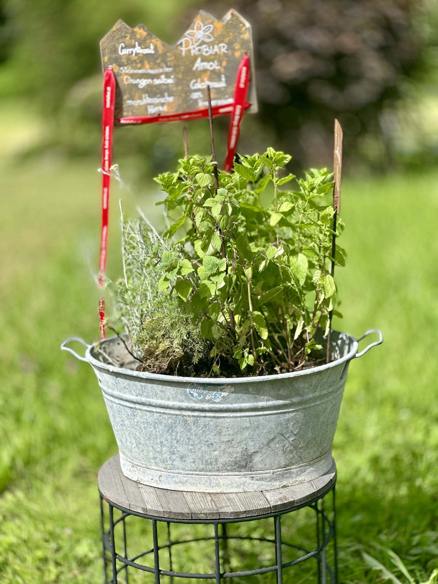
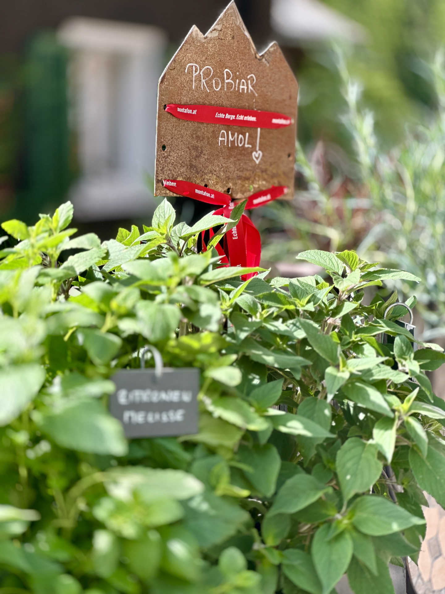
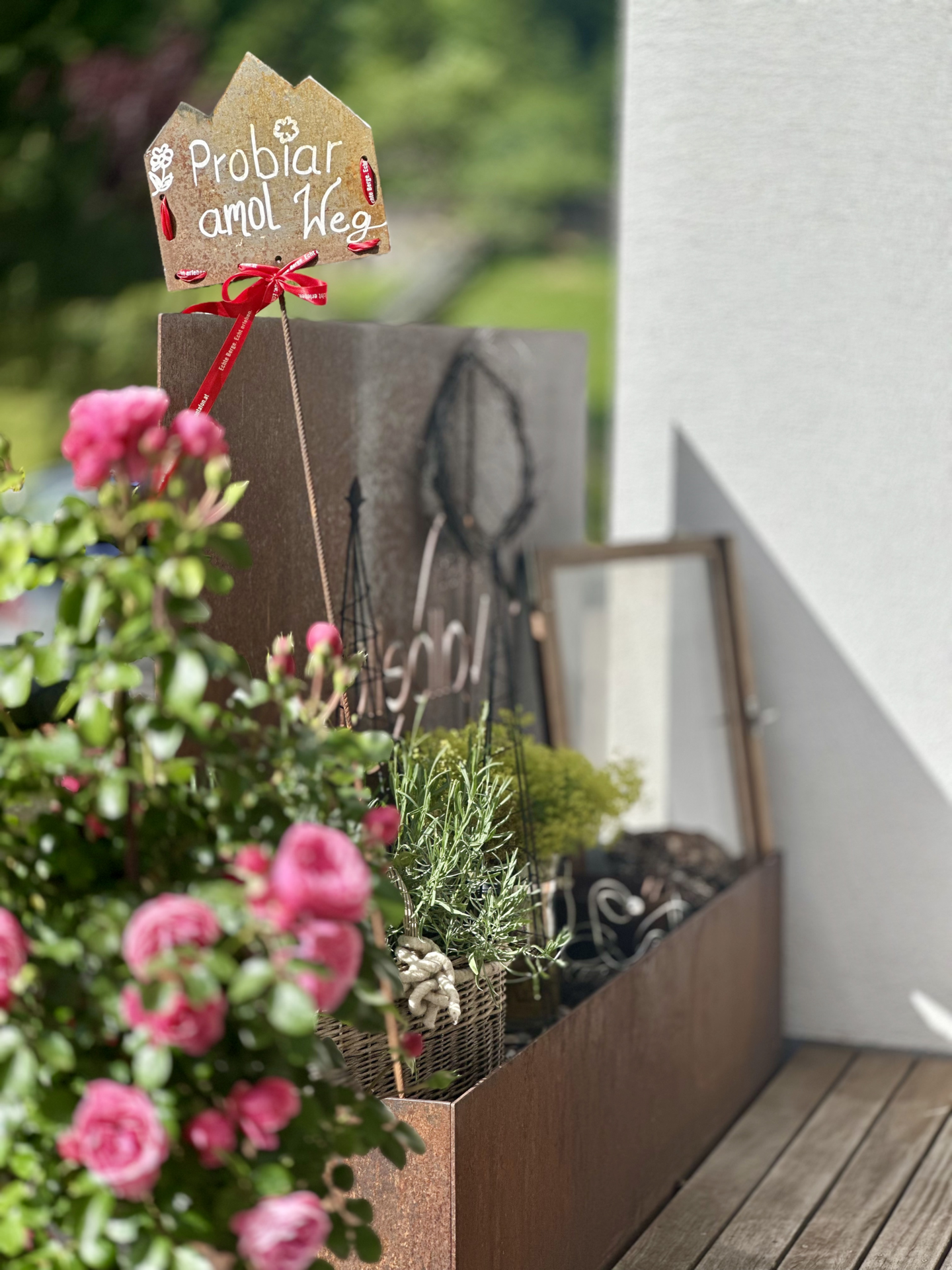
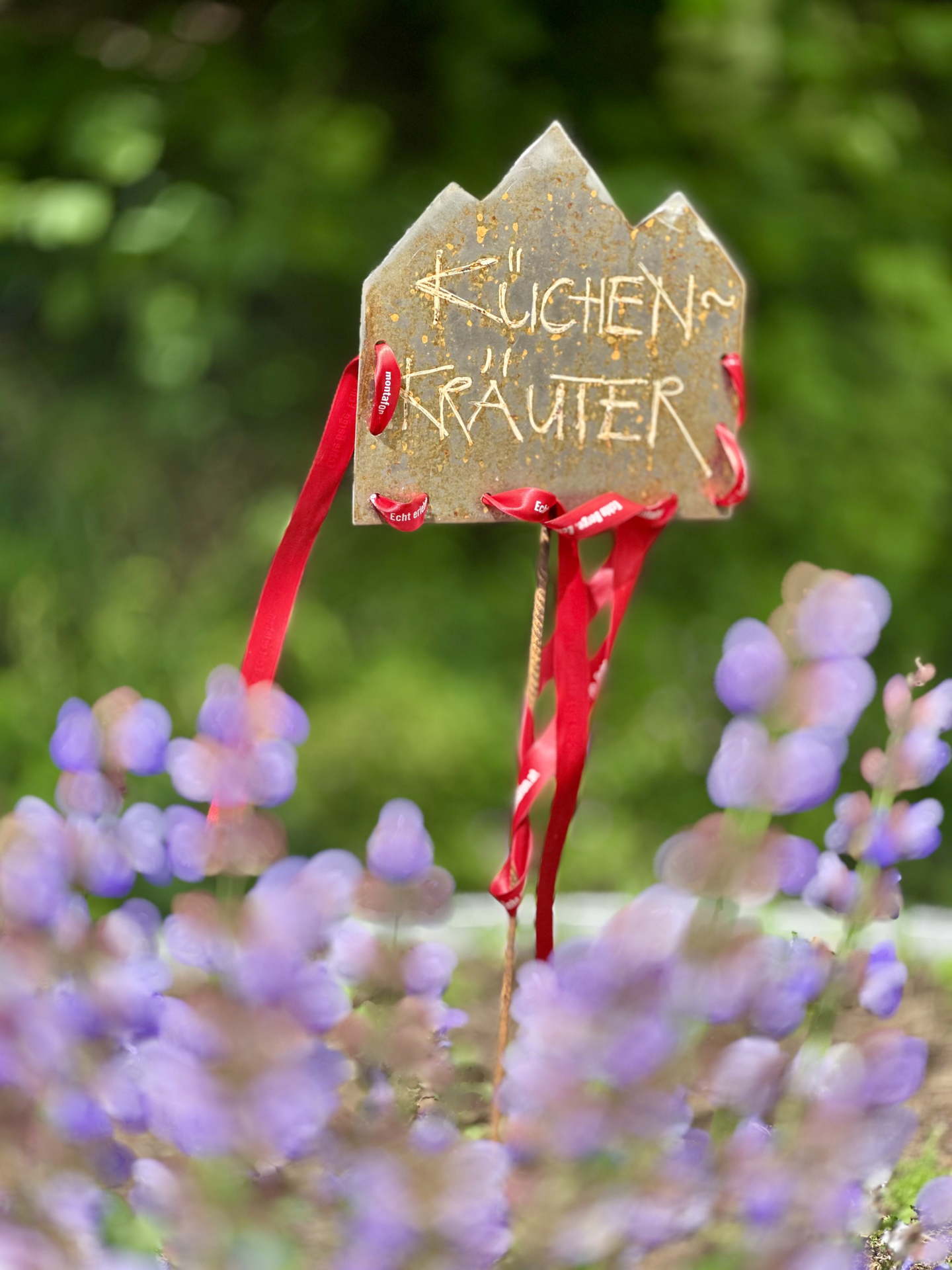
Kräuterweg "Probiar Amol" Partenen
Easy
Hiking · Thematic trail
View on map
00:58 h
duration
3,76 km
Länge
1081 m
Höchster Punkt
1016 m
Tiefster Punkt
65 hm
Aufstieg
65 hm
Abstieg
Kondition
Technik
Schwierigkeit
Erlebnis
Landschaft
Tourbeschreibung
Kräuterweg "Probiar Amol" - Erlebe bei einem Dorfrundgang die verschiedensten Kräuter
Eigenschaften
Routentyp
Hiking, Thematic trail
Schwierigkeit
Easy
Höhenprofil
Beste Jahreszeit
Jan
Feb
Mär
Apr
Mai
Jun
Jul
Aug
Sep
Okt
Nov
Dez
Teilen
teilen
GPX download
alle
0
Ergebnisse anzeigen
Keine Ergebnisse vorhanden ...
Login
Einloggen
Passwort vergessen?