
Hiking tips & information for emergencies
In order to enjoy hiking in the Montafon mountains to the full, it is important to pay attention to a few safety aspects. This includes correct behavior on the mountain, careful planning of a high alpine tour and the correct reading of trail markings and signposts.
Careful preparation and planning
Good planning is essential for every hike. This includes information about the tour, the weather and the right equipment. Maps, tour descriptions and tips from local experts can help.
It is equally important to realistically assess your own abilities and those of the group. Pace and stage length should be geared towards the weakest member. An experienced Montafon mountain guide ensures maximum safety.
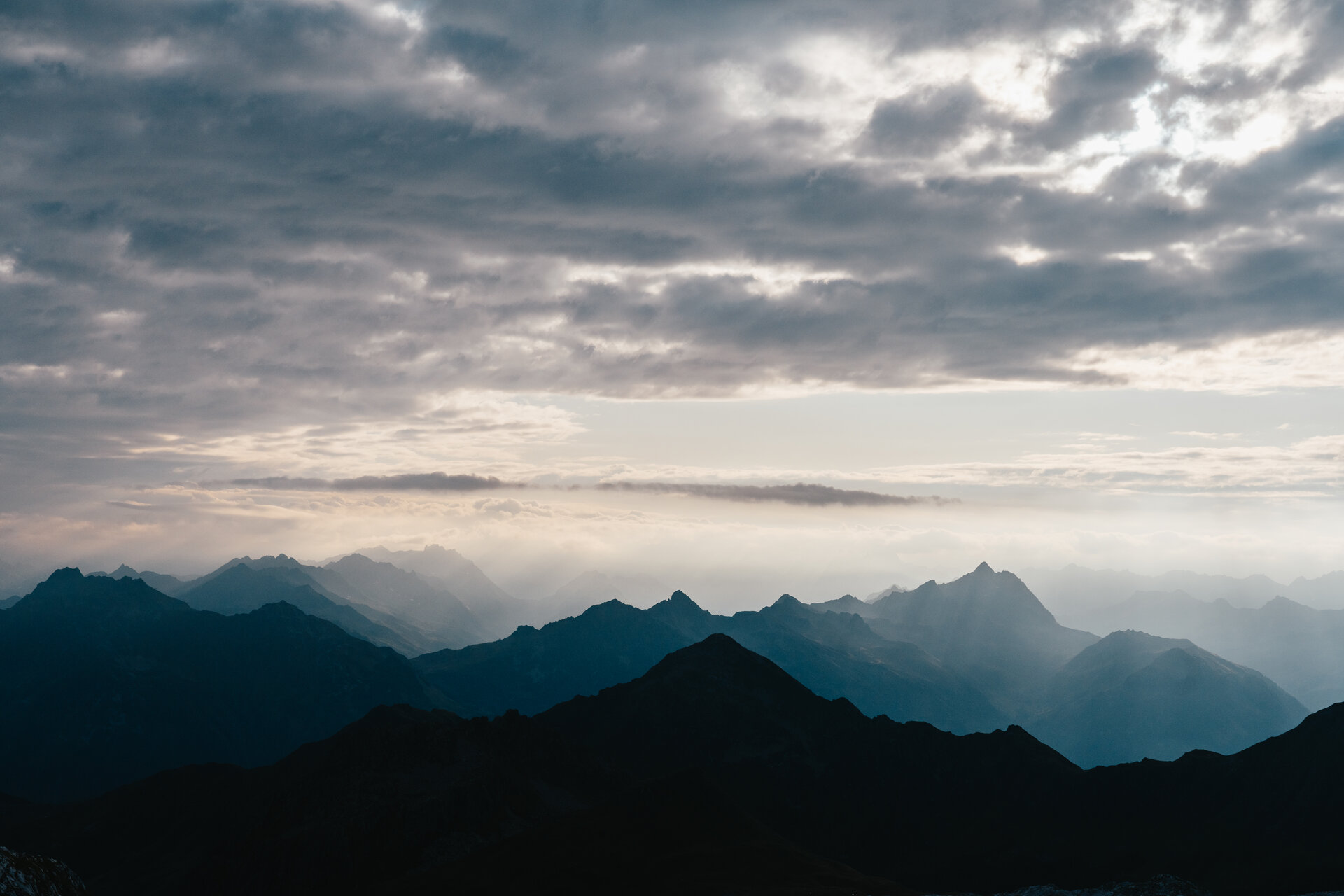
Correct behavior on the mountain

Our forests, meadows, rivers and lakes are valuable leisure and recreational areas and have an important protective function. In this sense, a respectful approach to nature is a prerequisite. It is also important to pay attention to conservation and protected areas, to stay on marked hiking trails and to carry your own waste back down into the valley.
Anyone out and about in meadows and pastures around the Alps will inevitably come into contact with grazing livestock. A few simple rules of conduct can help to avoid dangerous situations when hikers and grazing livestock come into contact.
Hiking trail concept in Vorarlberg
Uniform marking
Here in the Montafon, all hiking trails are uniformly marked according to the Vorarlberg hiking trail concept. The hiking trails are divided into three levels of difficulty, which can be identified by the color markings:er- and hiking trail - easy to walk on, comfortable, high level of safety, generally well-developed trails, suitable for all age groups

Yellow and white: Light
Walking and hiking trail – easy to walk on, comfortable, high level of safety, generally well-maintained paths, suitable for all age groups
White-red-white: Medium
Mountain hiking trail – shoes with good grip recommended, usually easy to walk on, alpine natural hazards, mostly natural paths, some sections narrow, rocky and exposed
White-blue-white: Difficult
Alpine trail – mountain experience, sure-footedness and a head for heights required, a high degree of personal responsibility required, trails with increased alpine risks, only for experienced hikers
Unique signage
There are also standardized signposts along numerous marked hiking trails in Vorarlberg. These record the hiking trail markings, the most important main and intermediate destinations, walking time, route separator (indicates a turn-off destination), altitude, location name and location number. The latter can save lives in an emergency! This is because the location number is recorded centrally at the rescue and fire station. This means that in an emergency, the exact location of the casualty can be determined and a rapid rescue operation can be initiated.
Attention: Different markings in the border area!
The Tyrolean hiking and mountain trail concept
...is basically divided into three levels of difficulty, which are based on the slope model.
In the Silvretta region in particular, there are numerous cross-border tours into neighboring Tyrol. It is therefore important to know about the marking concept in the neighboring country. In contrast to the hiking trail concept in Vorarlberg, which is very similar to that of Switzerland, the Tyrolean hiking and mountain trail concept is based on the classification of the federal state of Tyrol and yet differs significantly.
-
Hiking trails: carry no symbol (in other federal states marked with the color blue) and are easily accessible for walkers without alpine knowledge
-
Red mountain trails: moderately difficult for sure-footed and experienced mountain hikers
-
Black mountain paths: difficult, mostly narrow and steep paths that require surefootedness, a head for heights and alpine experience
-
Alpine routes: pathless, free and unsecured alpine walking and climbing terrain that requires surefootedness, a head for heights and alpine experience
Procedure in an emergency
- Rescue the injured person from the danger zone (if possible)
- Check vital functions (consciousness - breathing - circulation)
- Alert the emergency services (112 Euro emergency call, 144 rescue / mountain rescue Vorarlberg)
Do you have reception with your cell phone?
// YES -> dial 112
// NO -> switch cell phone off and on again, (also instead of the PIN) dial 112 again. Still no reception: change location and dial 112 at regular intervals. - Provide first aid