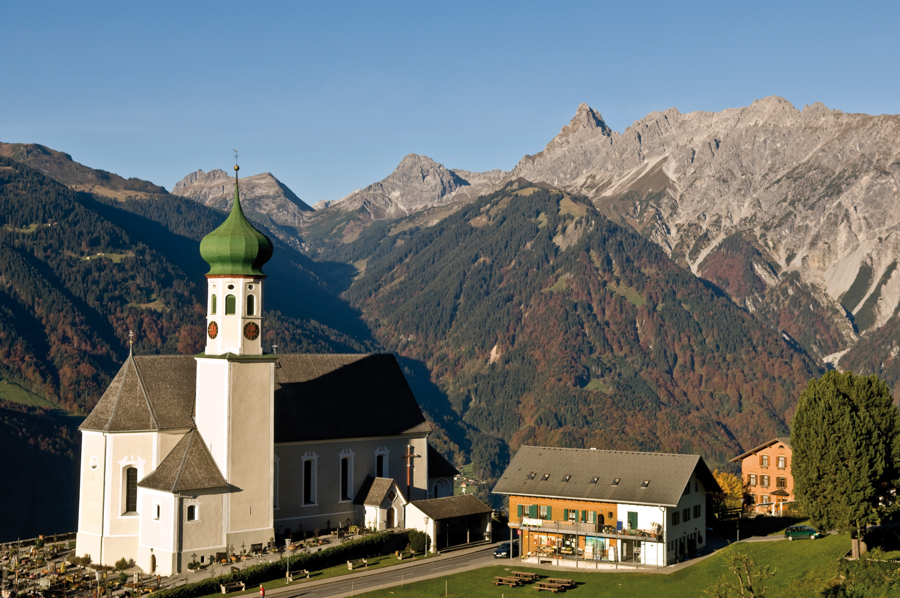
Fernblick route Bartholomäberg
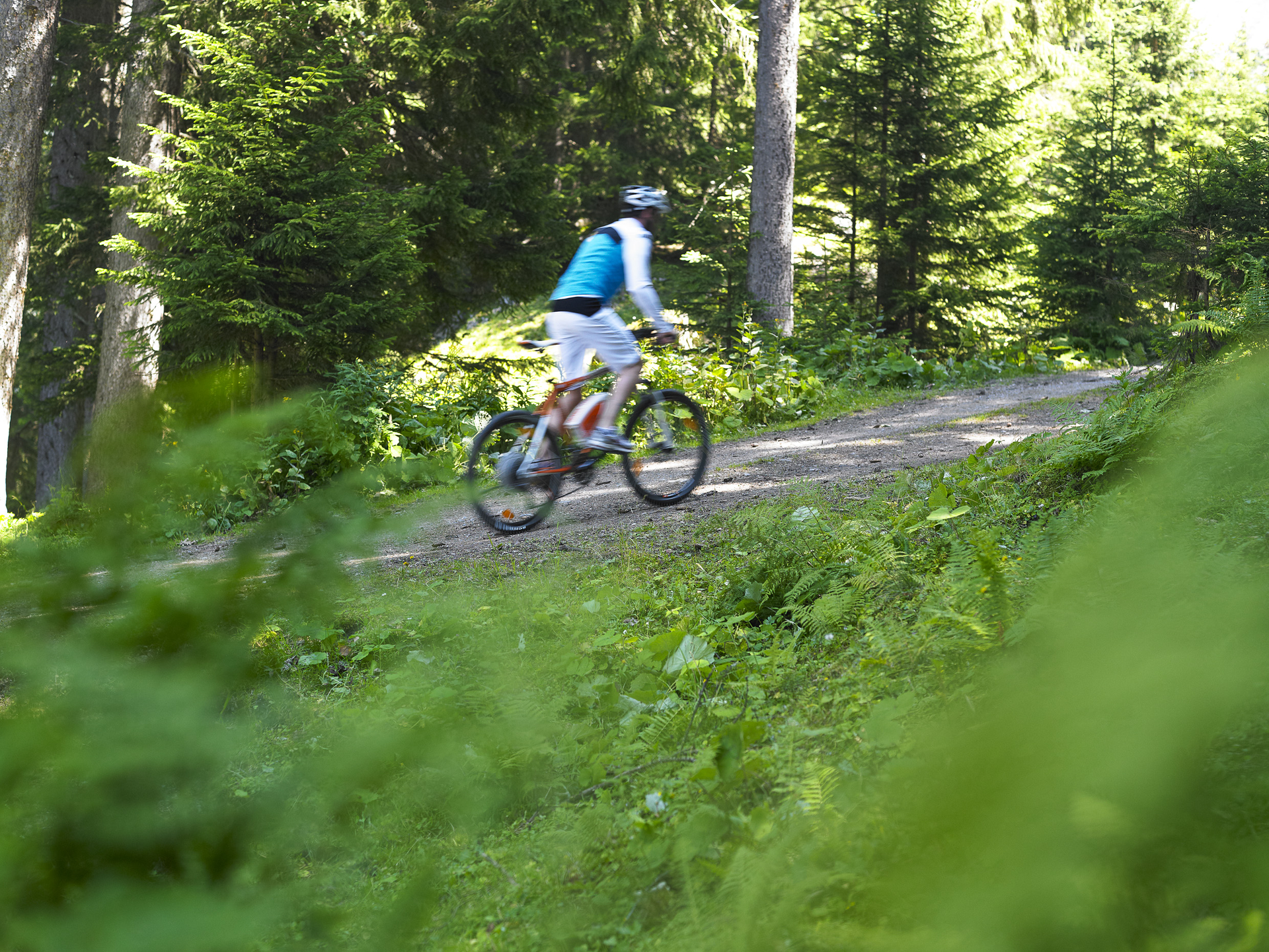
Moderate
Einkehrmöglichkeit
Rundtour
(E-)Mountainbiken · Refreshment stops · Round trip
02:00 h duration
15,4 km Länge
1125 m Höchster Punkt
662 m Tiefster Punkt
477 hm Aufstieg
477 hm Abstieg
Kondition
Technik
Schwierigkeit
Erlebnis
Landschaft

Tourbeschreibung

Aktivpark Montafon – Illweg – Litzdamm - Schruns – Bartholomäberg (church) – Panoramastraße towards Innerberg – junction Schruns via Loch – Gawatsch – Grappaweg – Montjola – Schruns – Aktivpark Montafon

Description

From Aktivpark Montafon in Schruns-Tschagguns, head via paved bike paths and roads to Bartholomäberg, the sun balcony of Montafon. The average incline is approximately 10%. Via the Panoramastraße, you reach just before Innerberg without further inclines – an ideal viewpoint to enjoy the panorama of the Rätikon and Hochjoch massif.

Note: The junction for the descent via Loch or Grappes can be easily overlooked. The downhill descent includes technically quite demanding single trails. As an alternative, you can simply ride back on the same path.

Above Schruns, the route leads back to Montjolastraße. From there, continue on the same route as the outward journey back to Aktivpark in Schruns-Tschagguns.

Approach

Take the A14 to the Bludenz/Montafon exit and continue on the Montafonerstraße L188 to Schruns. Federal road L188 leads you directly to Aktivpark Montafon, which is located on the right side of the road.

Public transport

Just leave your car parked.

Country buses operate throughout Montafon. The main lines run every half hour from Schruns station.

Bus stop at the start/finish of the route: Schruns Sports Field/Aktivpark / line 2a, line 2b

Timetable: www.vmobil.at

Arrival by train to Montafon

From Bludenz station, the Montafon railway runs every half hour. There are also direct connections from Lindau (D) and from Bregenz.

Timetable: www.oebb.at

Parking

Aktivpark Montafon in Schruns-Tschagguns

Directions

From Aktivpark Montafon in Schruns-Tschagguns, you go via paved bike paths and roads to Bartholomäberg. (The average incline is approx. 10%). Via the Panoramastraße, you reach just before Innerberg without further inclines.

Attention: The junction for the descent via Loch or Grappes can be easily overlooked. The downhill descent includes technically quite demanding single trails (S1-S2). Above Schruns, the route leads back to Montjolastraße. From there, you return on the same route as the outbound trip back to Aktivpark Montafon in Schruns-Tschagguns.

Safety instructions

EMERGENCY CALL: 144
112 Euro emergency call (works with any mobile/network)
www.vorarlberg.travel/sicherheitstipps

Equipment

Bicycle helmet, day bike backpack (approx. 20 liters) with rain cover, comfortable sports shoes, possibly cycling shoes, weather-appropriate and durable clothing in layers, possibly cycling jersey, possibly cycling gloves, air pump, bike tool, sun and rain protection, provisions and drinking water, drinking bottle and suitable holder, first aid kit, pocket knife, mobile phone, possibly mobile phone holder for the handlebar, possibly headlamp and reflectors, maps

Tips

Free active map for e-mountain biking available at all Montafon tourist offices.

Destination

Aktivpark Montafon, Schruns-Tschagguns

Starting Point

Aktivpark Montafon, Schruns-Tschagguns

Eigenschaften
Routentyp (E-)Mountainbiken, Refreshment stops, Round trip
Schwierigkeit Moderate
Höhenprofil
Beste Jahreszeit
Jan
Feb
Mär
Apr
Mai
Jun
Jul
Aug
Sep
Okt
Nov
Dez