Cultural and landscape trail Gaschurn Partenen Galtür

Moderate
Einkehrmöglichkeit
Hiking · Refreshment stops
06:30 h duration
17,5 km Länge
1992 m Höchster Punkt
973 m Tiefster Punkt
1075 hm Aufstieg
479 hm Abstieg
Kondition
Schwierigkeit
Erlebnis
Landschaft

Tourbeschreibung

Gaschurn - Tafamunt - Wiegensee - Verbellaalpe - Kopssee - Galtür
Description

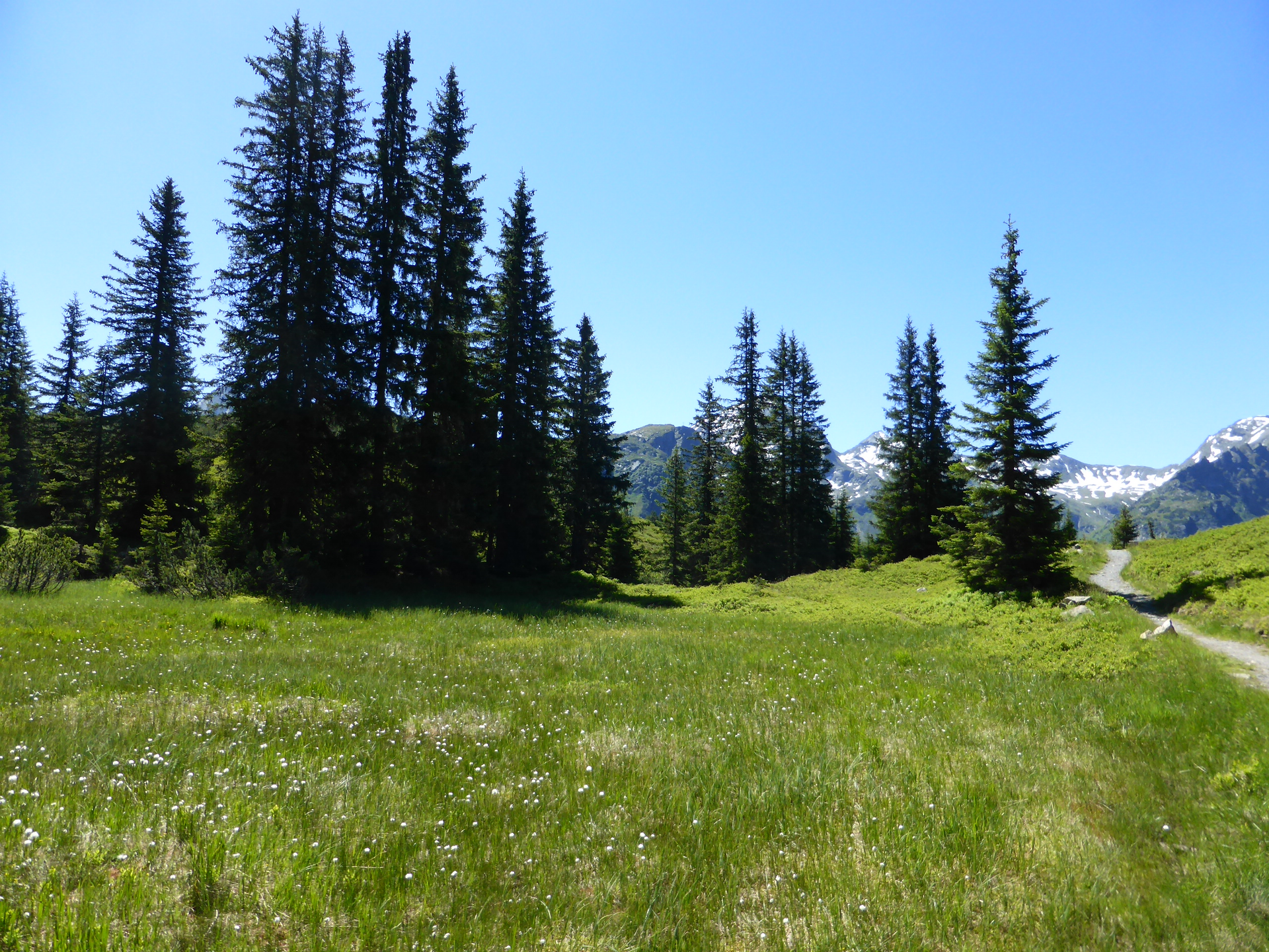
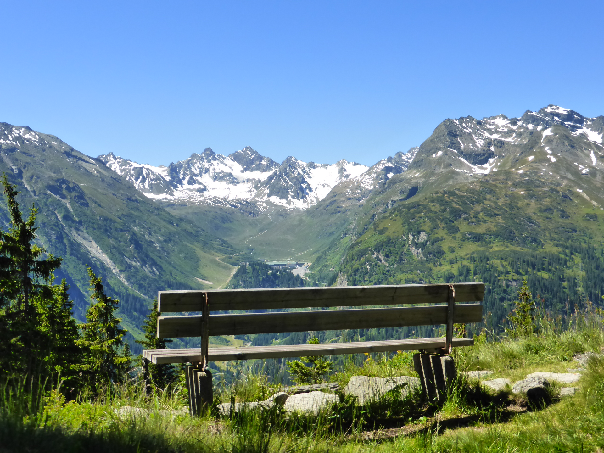
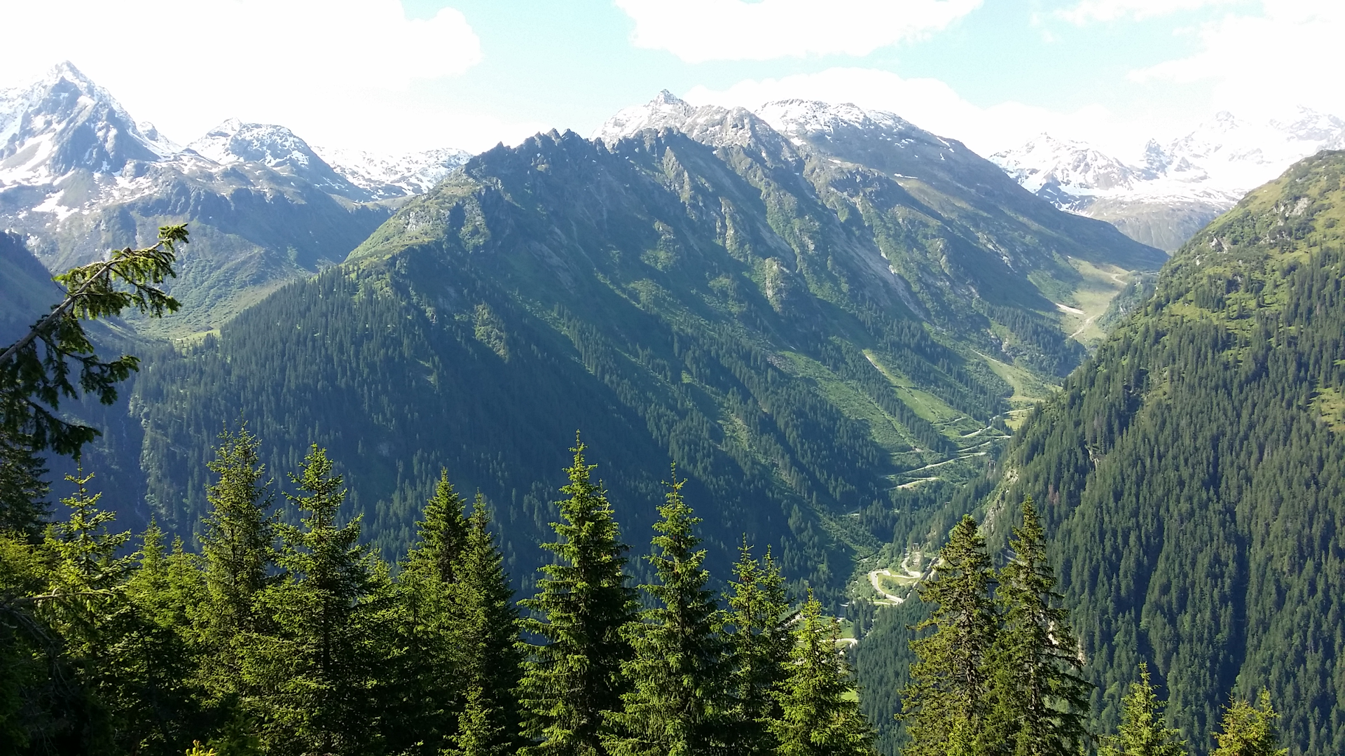
The landscape trail between Gaschurn-Partenen and Galtür offers you insight into the area between Innerfratte and Paznaun. You experience impressive landscapes that have become the backdrop for remarkable and historical events. Characteristic landscape elements show current developments but also conflicts of interest between various groups.

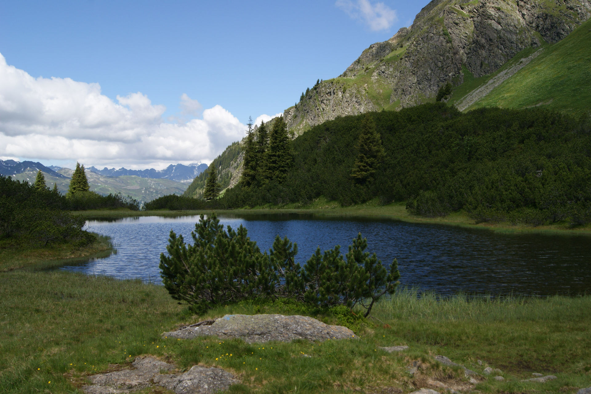
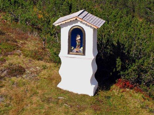
Rear Chapel, Kopssee

Merchants and apprentices once crossed the Zeinisjoch, soldiers appeared during several wars. Even in peacetime, soldiers appeared: uniformed and even armed Swiss reservists from Samnaun often took the shortcut over the Zeblas and Zeinisjoch instead of going through Engadin when traveling to Chur or back to Samnaun.

There were heartbreaking scenes on the Zeinisjoch as well: especially when Paznaun families appeared there to say goodbye to their children. From here, the children were led by middlemen into the so-called Schwabengängerei. They had to travel as far as Friedrichshafen, Tettnang or Ravensburg to work on farms and fields and bring back a small payment to their homeland.

The "Rearkapelli" still commemorates the tearful farewell of these contract children. The name derives from «reara», the colloquial word for «to cry».

The phenomenon of Schwabengängerei was known to authorities as early as 1625. From Bludenz, it was reported to Innsbruck that "every year in springtime many children go to the farms near Ravensburg, Überlingen and into the empire, but return home before and after Martini." Martini refers to St. Martin's Day on November 11. From spring until November the children were away, with the sad climax of Schwabengängerei likely in the early 19th century, when thousands of children from the Alpine region had to move away. Even in the early 20th century, about 800 children per year from Tyrol and Vorarlberg moved to Upper Swabia.

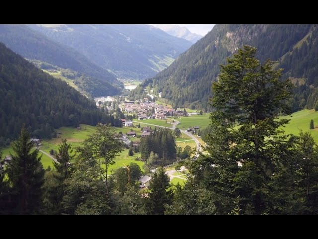
Here you can find a short video about Wiegensee:

https://www.youtube.com/watch?v=n7NUtvW9pLg&feature=youtu.be

Approach

Drive on the A14 to the Bludenz/Montafon exit and then continue on Montafonerstraße L188 to Gaschurn.

Public transport

Just leave your car standing

The regional buses operate throughout Montafon. The main lines run every half hour from Schruns train station.

Bus stop at the start of the route: Gaschurn center / line 650

Bus stop at the end of the route: Galtür village square / line 260

(From Galtür take the regional bus 260 to Bielerhöhe Silvrettasee, then take bus line 85 back towards Schruns)

Timetable: www.vmobil.at

Traveling by train to Montafon

From Bludenz train station, the Montafon railway runs hourly (partly every half hour). There are also direct connections from Lindau (D) and from Bregenz.

Timetable: www.oebb.at

Parking

Parking lot valley station Versettla Bahn Gaschurn

Directions

From Gaschurn the path leads towards Tafamunt. The trail through the forest is partly quite steep uphill and demands good fitness right from the start. On reaching the hut settlement Aussertafamunt, the effort is well rewarded. The wonderful hut settlement landscape with views of the surrounding peaks of the Silvretta offers a magnificent panorama. The first stopover can be made at the Alpstöbli Tafamunt. From here, the path leads gently uphill for about 1 hour to Wiegensee, where the highest point of this tour is reached. Further through the raised bog landscape of the European protected area, the trail leads us into the Verbella valley to the Verbella Alp. A magnificent bloom especially accompanies us on this path in early summer. From the Verbella Alp, we continue along a wide gravel path past Zeinissee to Zeinisjoch and the Kops reservoir. Further on partly paved roads and partly gravel paths, we reach from Zeinisjoch in about 1 hour the center of Galtür.

Safety instructions

EMERGENCY CALL: 144
European emergency call: 112 (works with any mobile phone/network)
www.vorarlberg.travel/safety tips

Equipment

good, ankle-high hiking boots with a good tread, sufficient food and drinks, trekking poles recommended

Tips

Recommendation for the route in reverse direction:

Kopssee - Verbellaalpe - Wiegensee - Mountain station Tafamuntbahn - Gaschurn

Pure walking time is about 4 hours. Twice in the morning, bus line 85 runs from Schruns via Silvretta-Bielerhöhe to the alpine inn Zeinisjoch (Kopssee). This way, changing buses at Silvretta-Bielerhöhe is basically avoided.

Destination

Galtür, center

Starting Point

Gaschurn, center

Eigenschaften
Routentyp Hiking, Refreshment stops
Schwierigkeit Moderate
Höhenprofil
Beste Jahreszeit
Jan
Feb
Mär
Apr
Mai
Jun
Jul
Aug
Sep
Okt
Nov
Dez