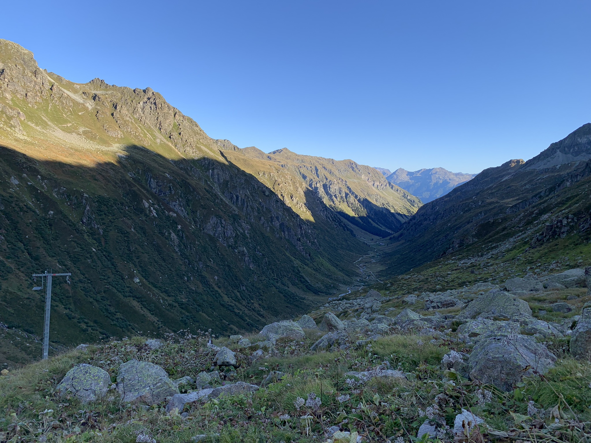
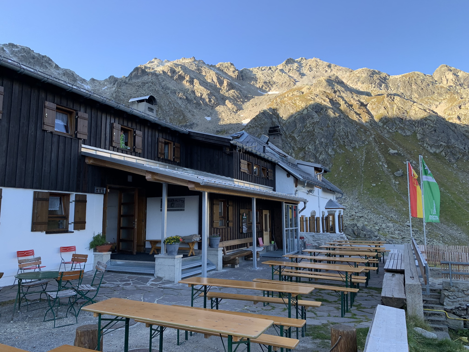
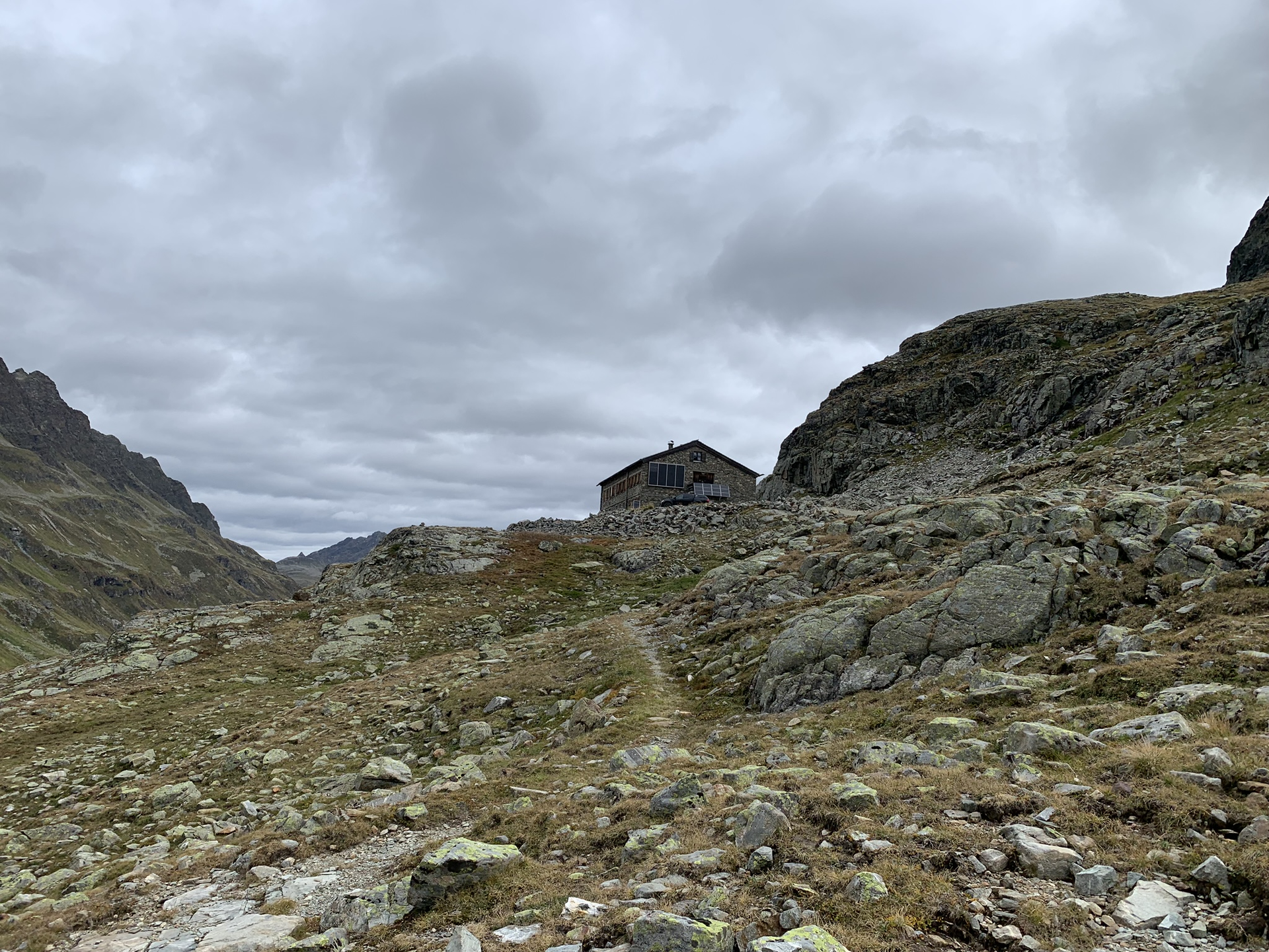
Stage 1: Silvretta-Bielerhöhe - Tübinger Hut
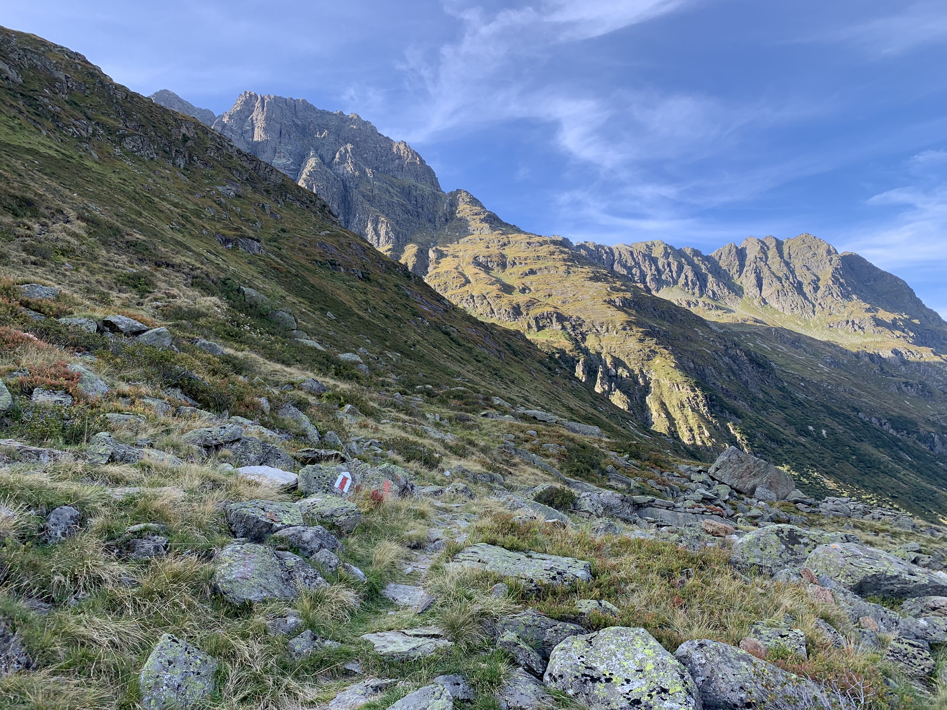
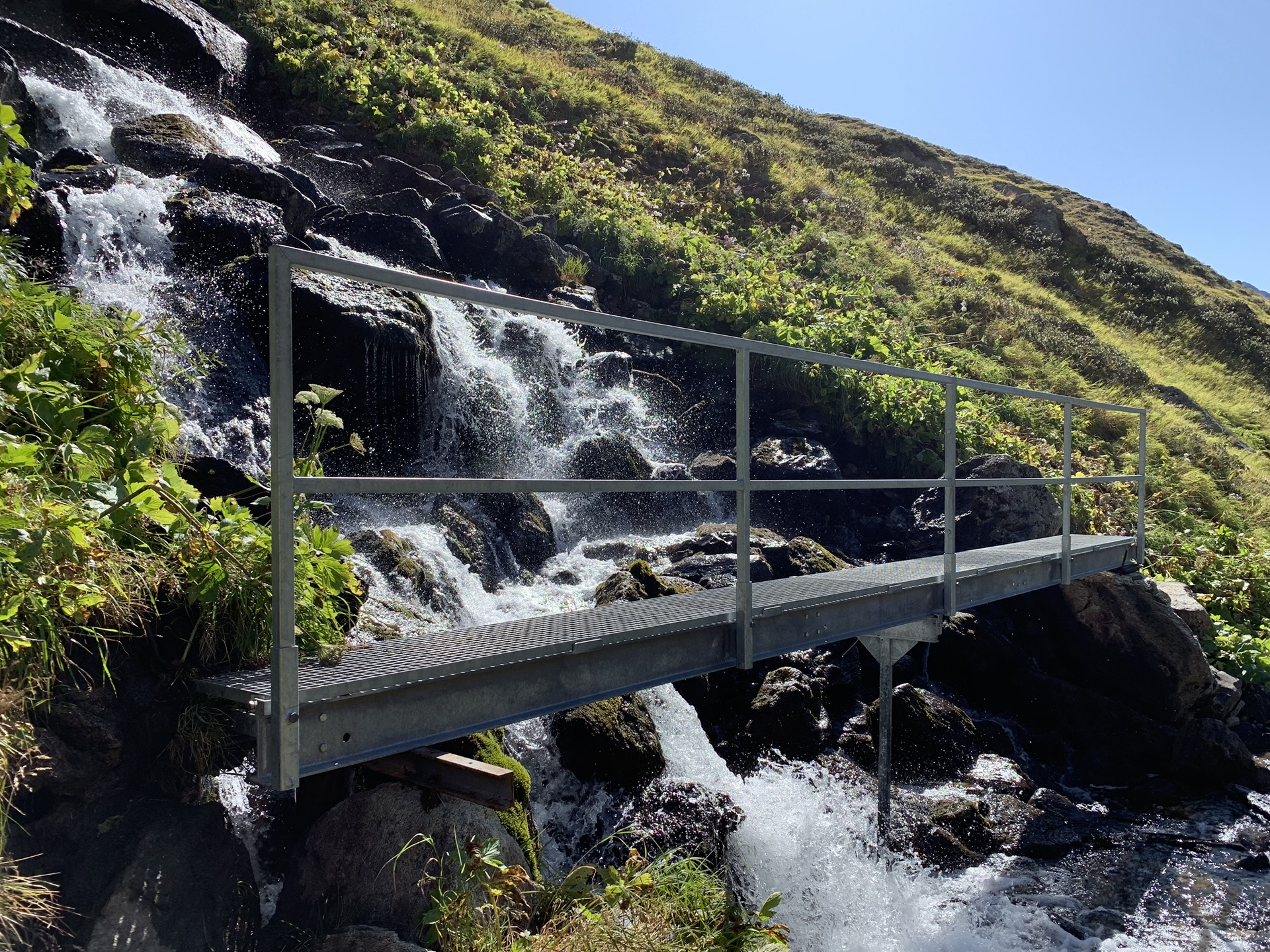
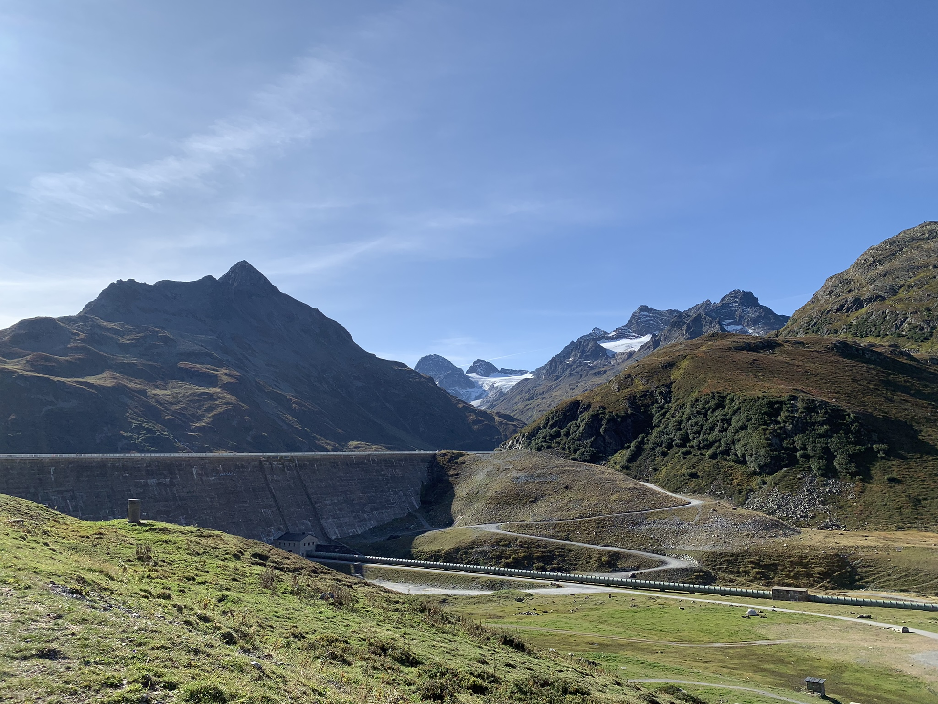
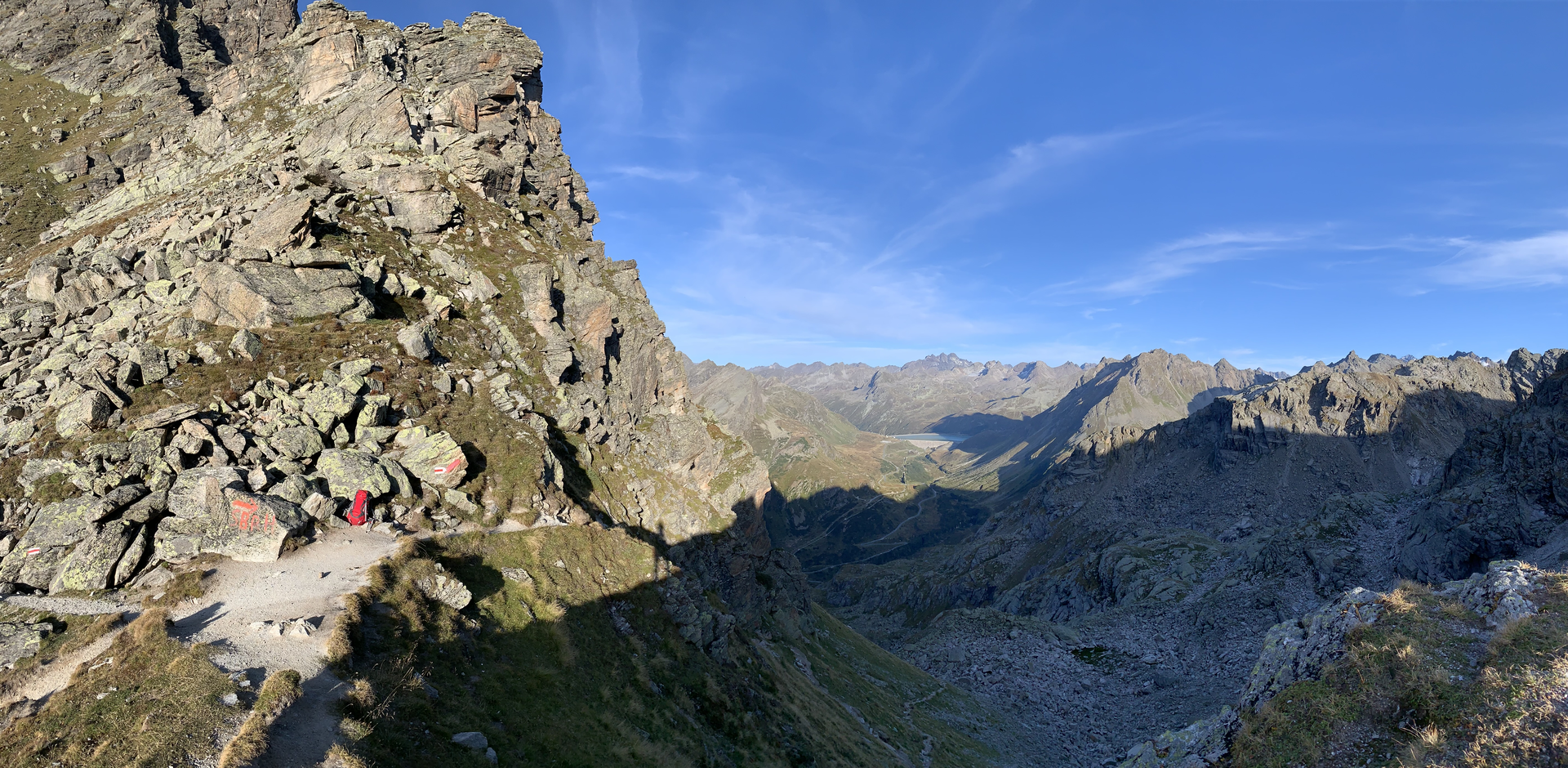
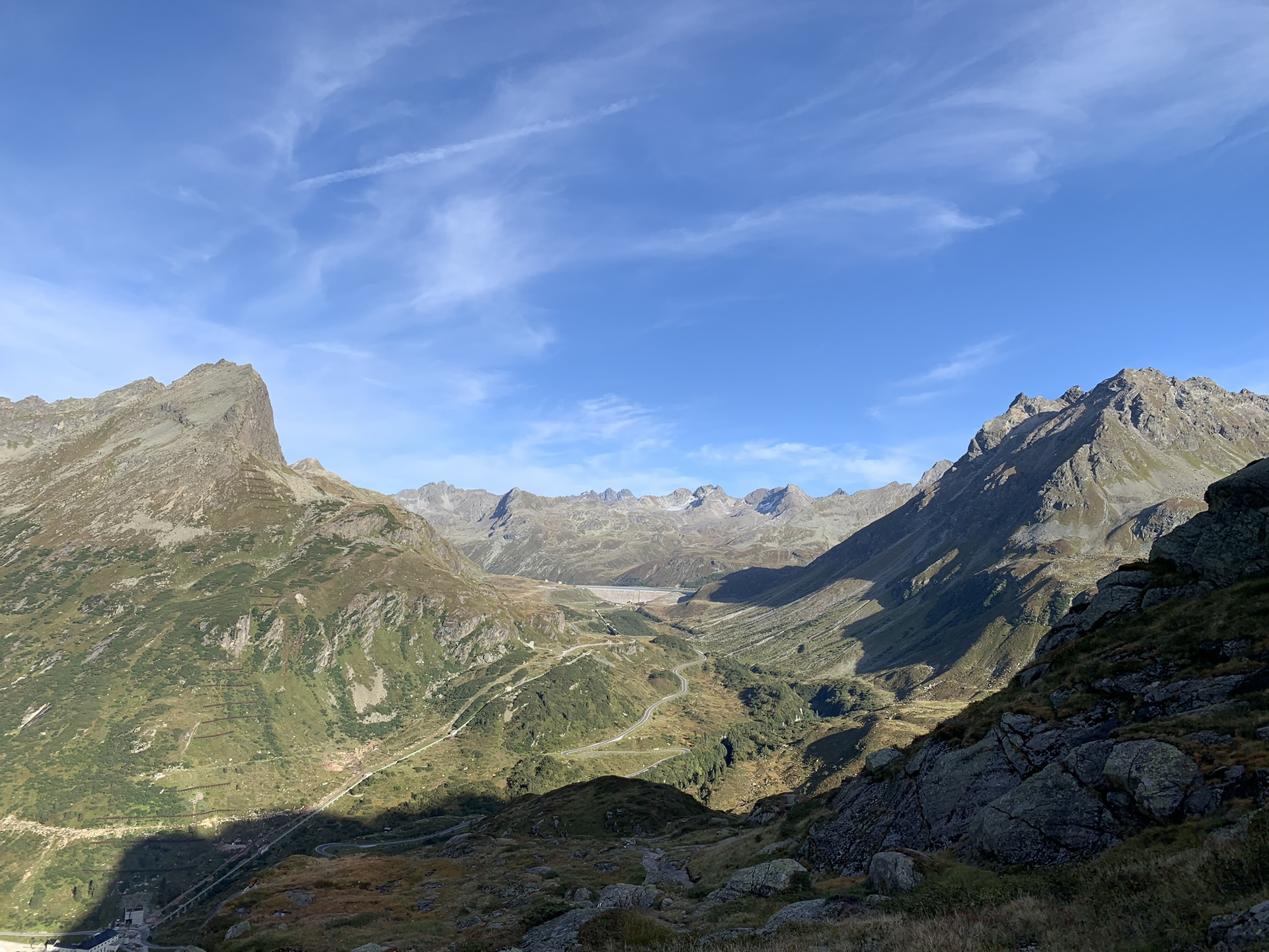
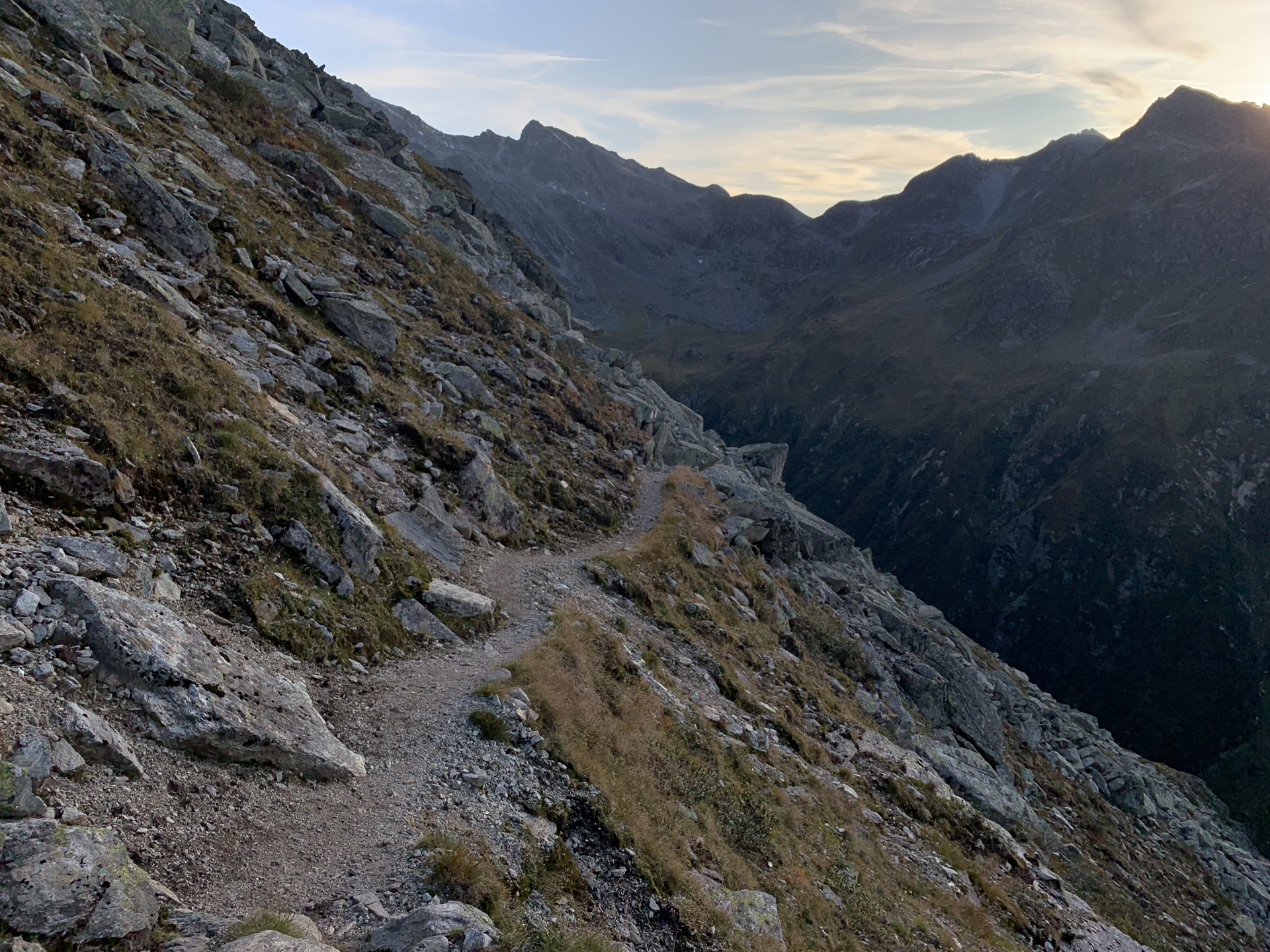
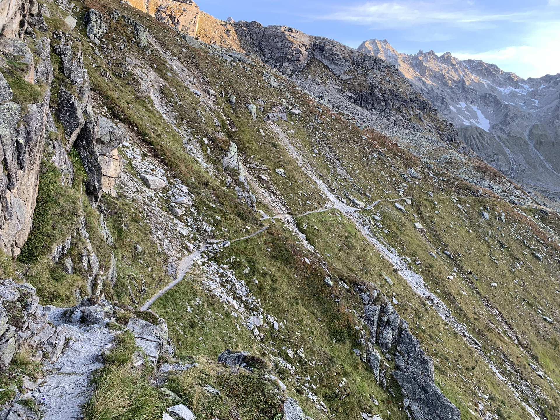
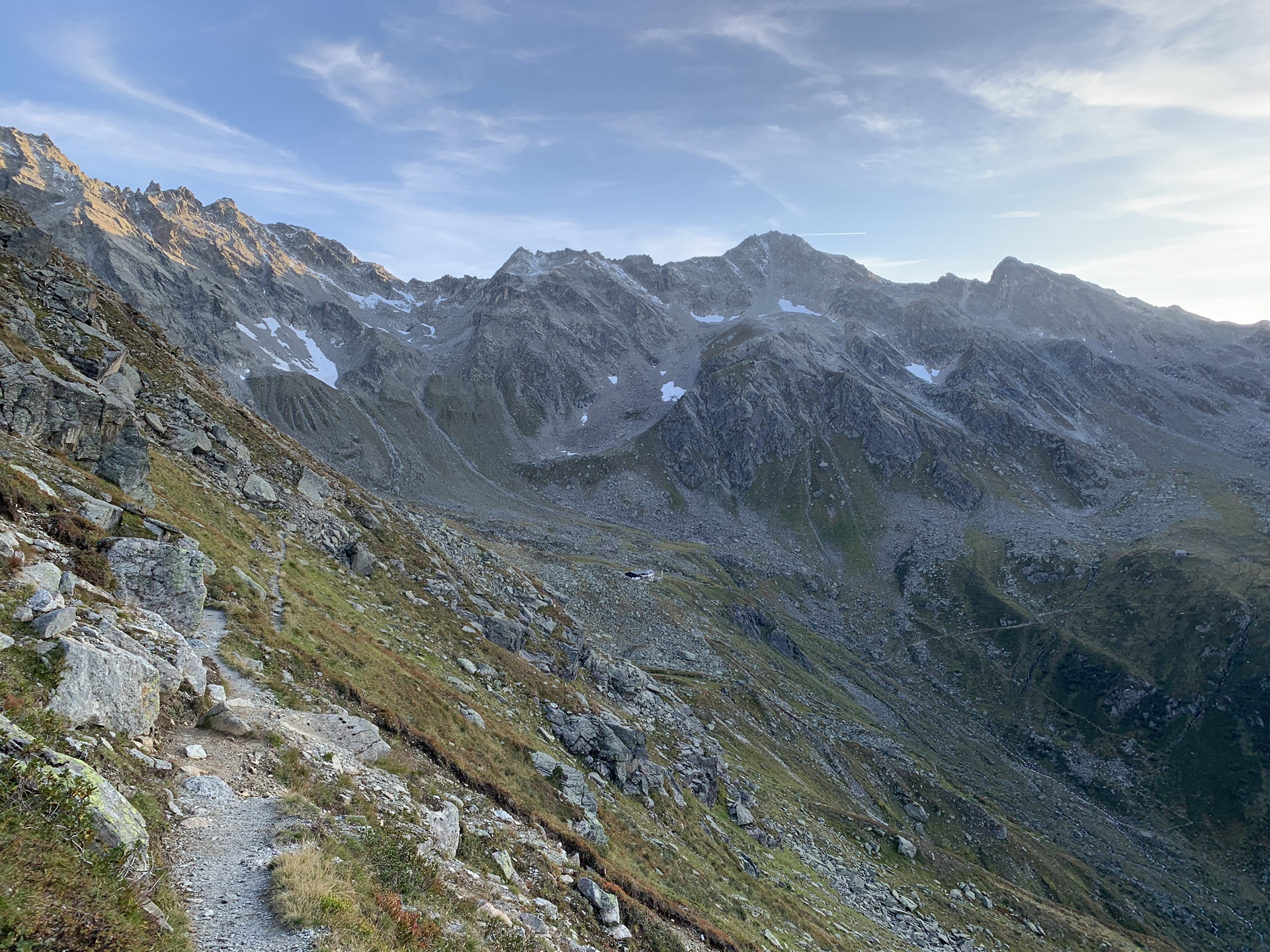
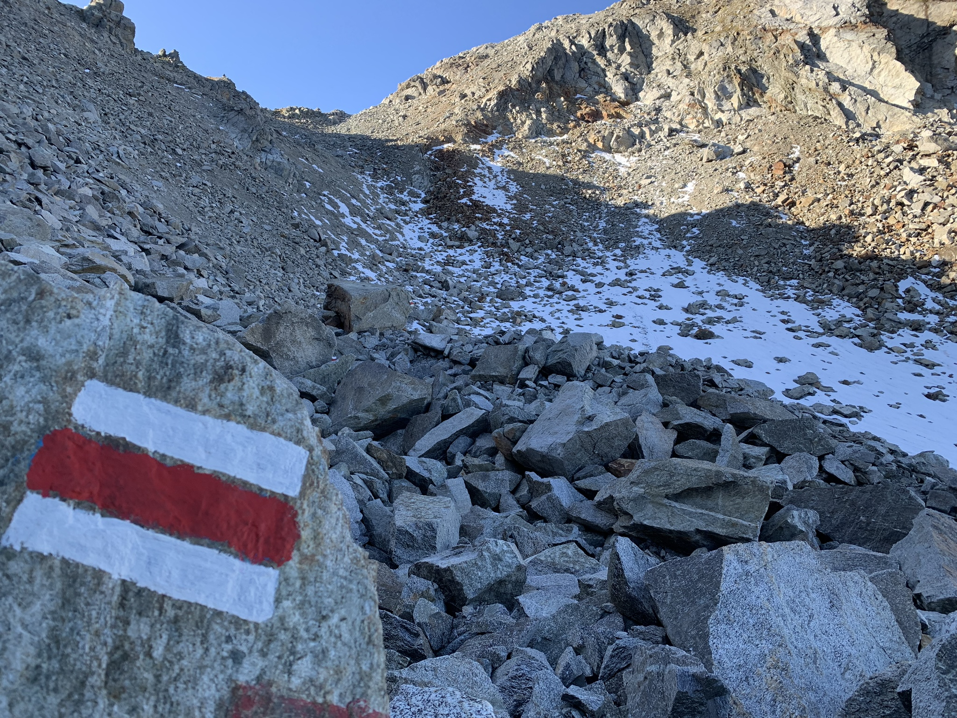
From the Silvretta-Bielerhöhe bus stop, the hiking trail leads west through the Großvermunttal. The path runs slightly elevated past the end of the Vermunt reservoir before ascending to the Hochmadererjoch; it then continues slightly downhill to the Tübinger Hut.
Walking time approx. 4:30 h // approx. 9.7 km // Ascent 604 m, descent 439 m
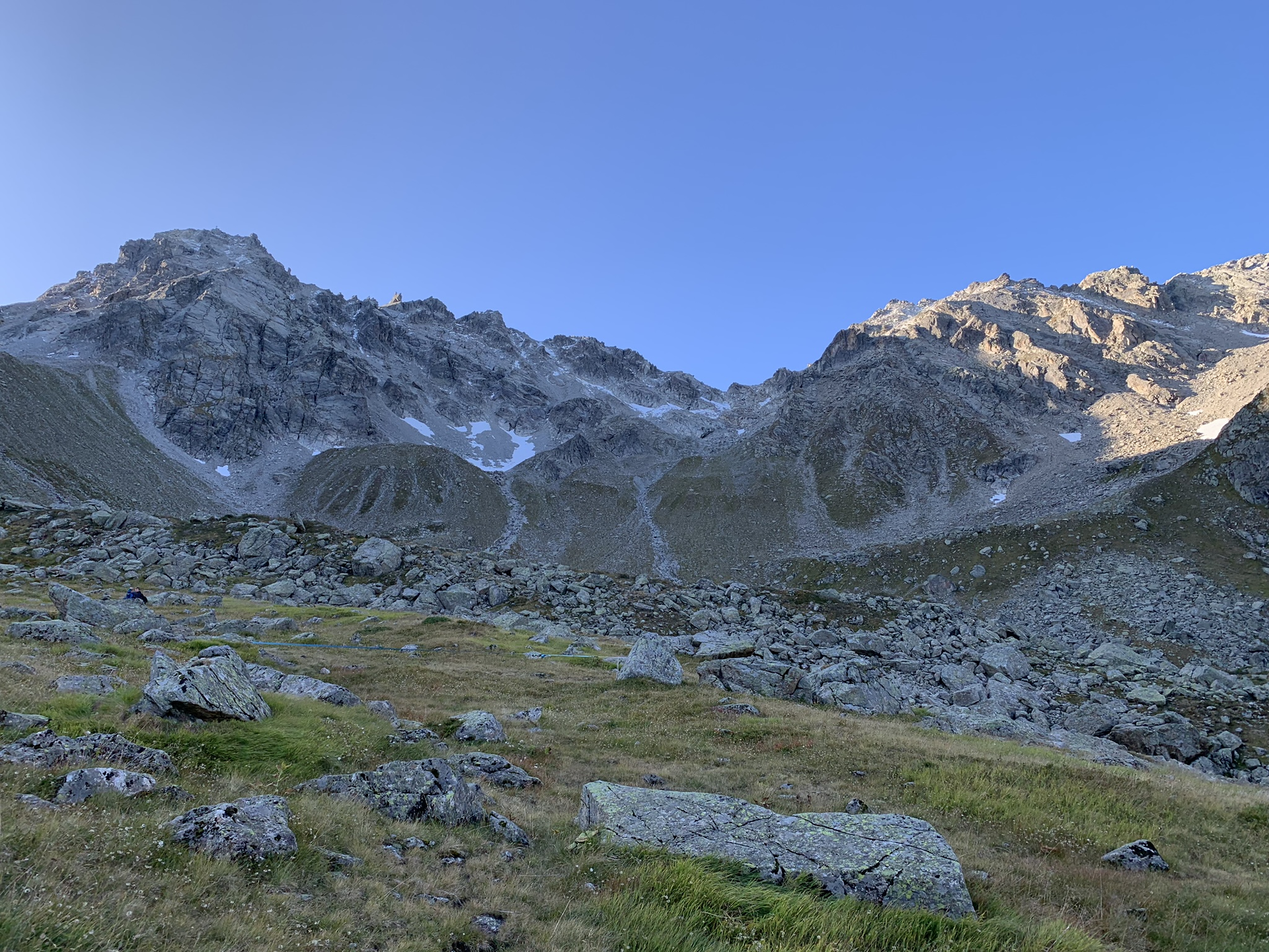
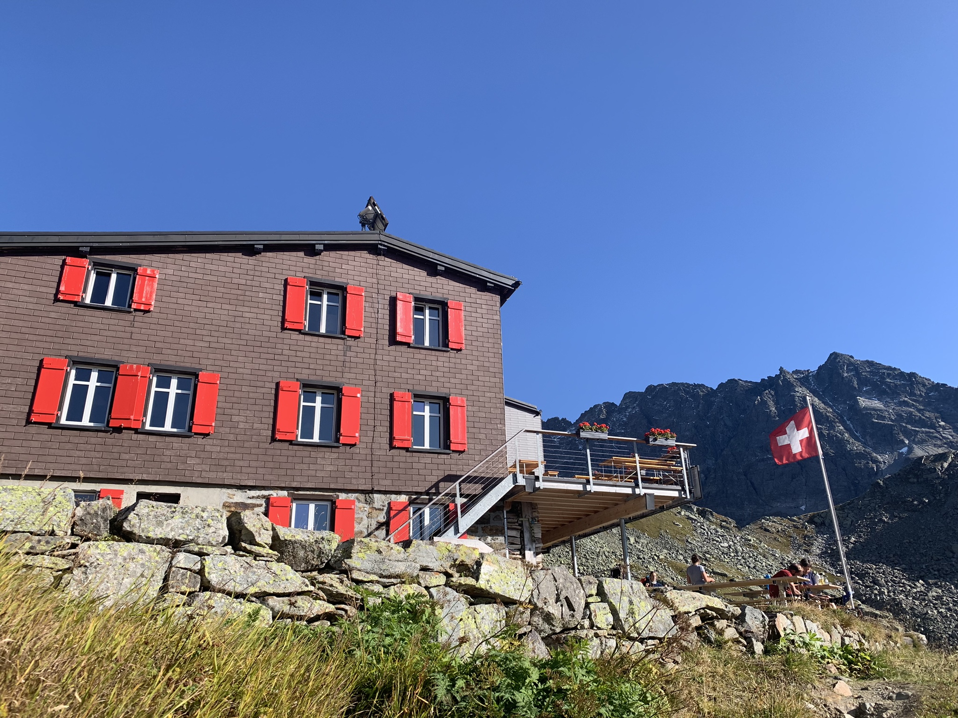
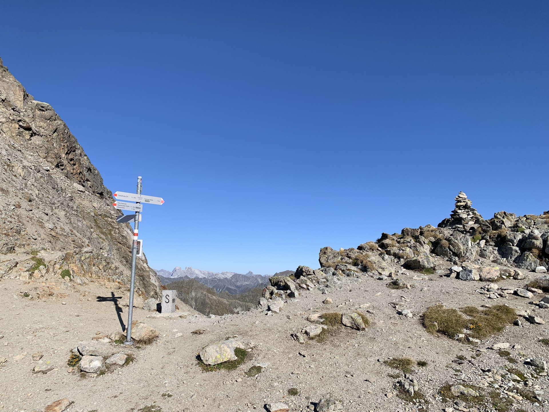
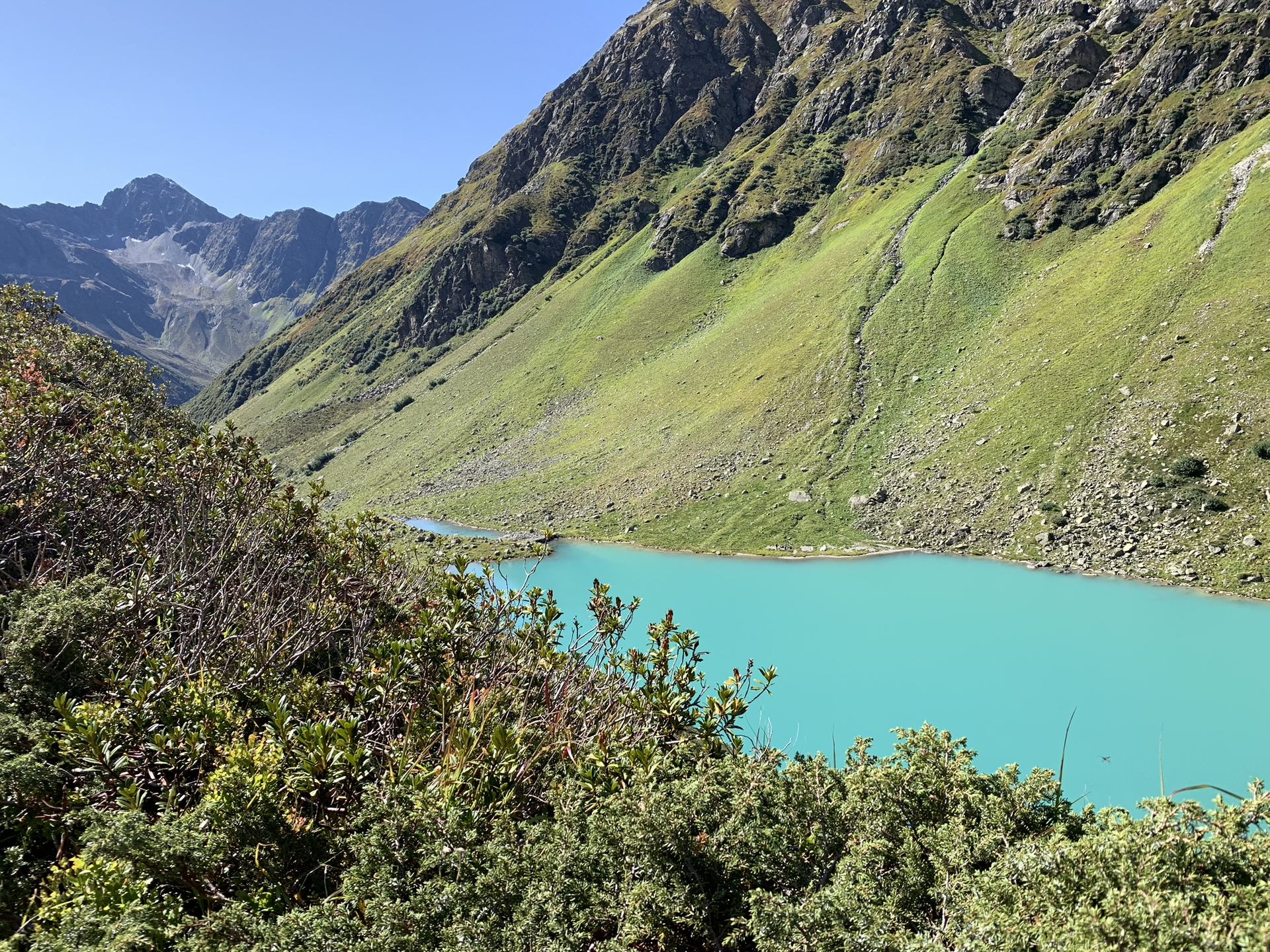
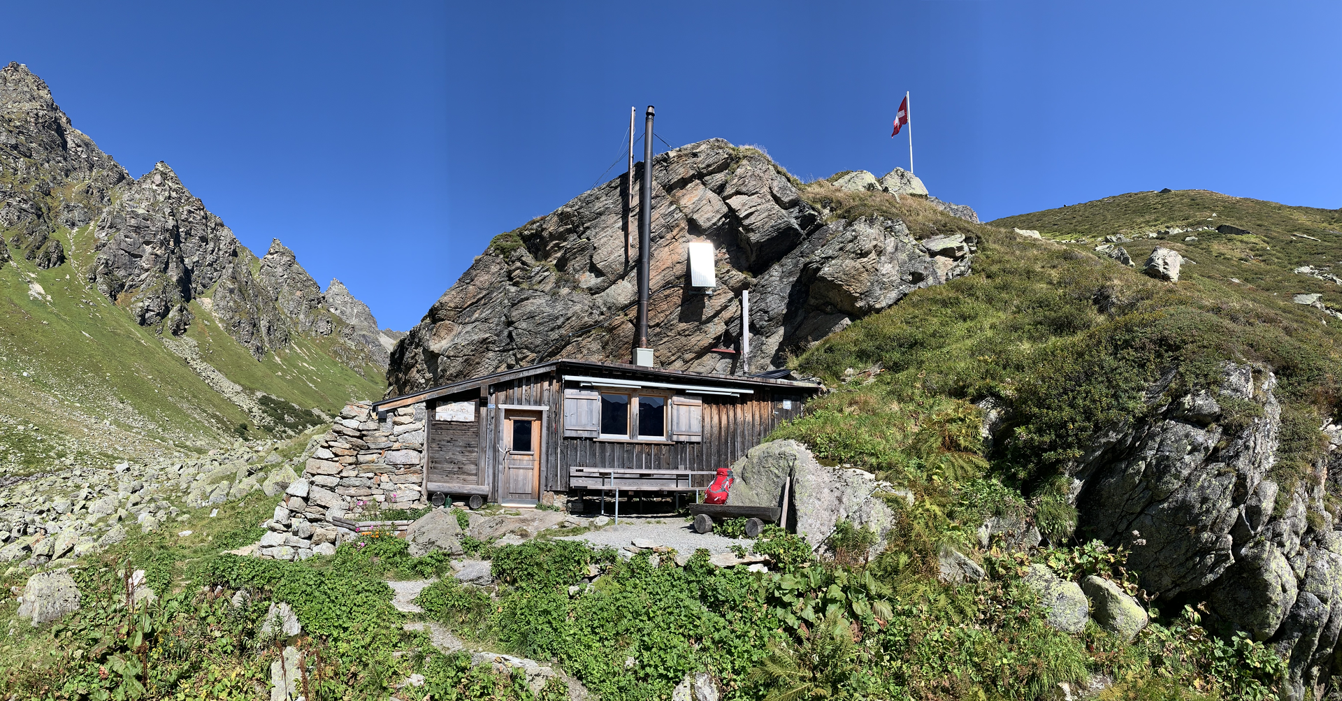
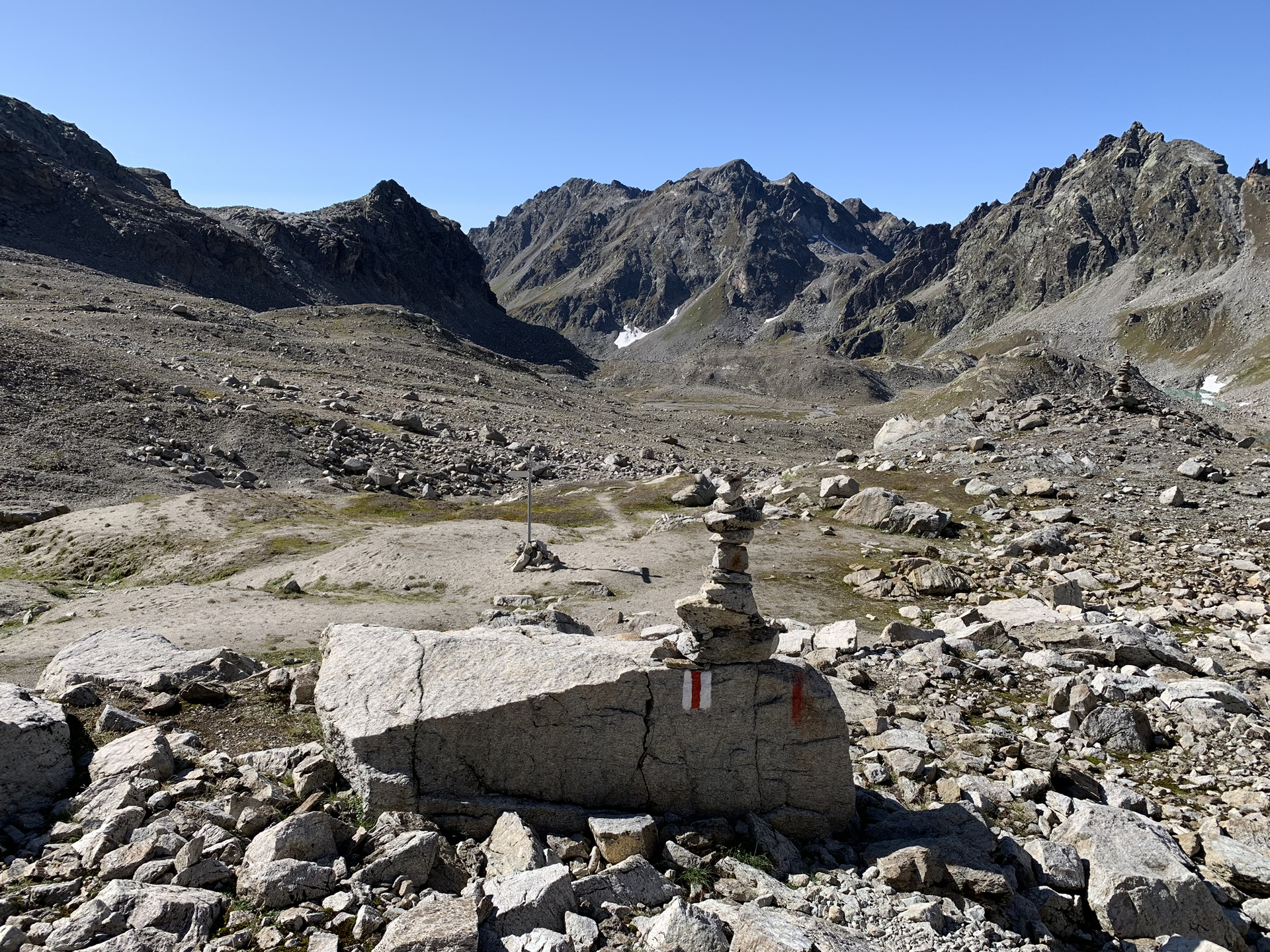
Stage 2: Tübinger Hut - Silvretta Hut SAC (CH)
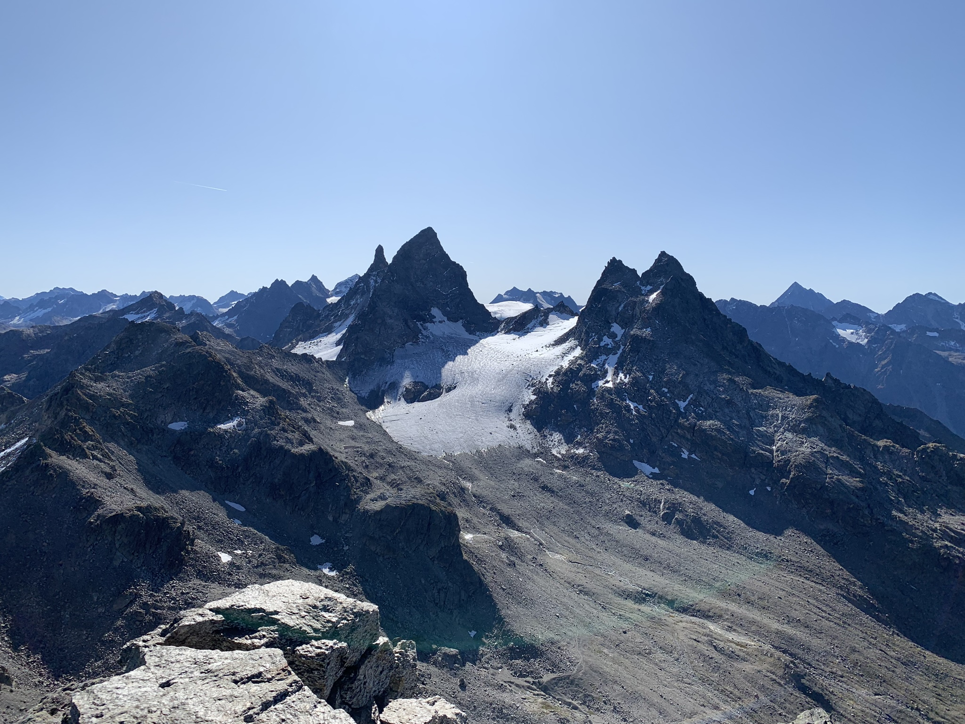
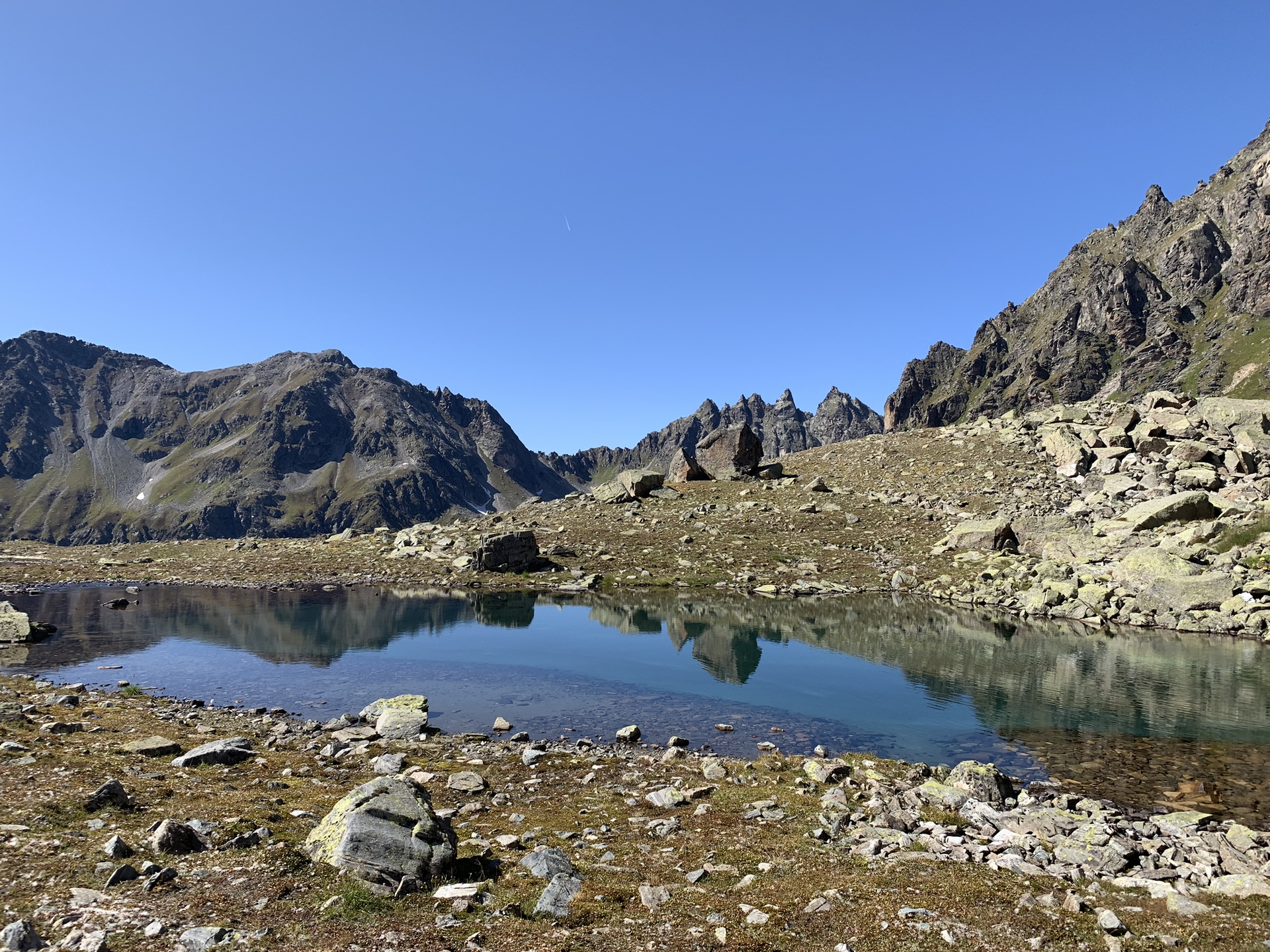
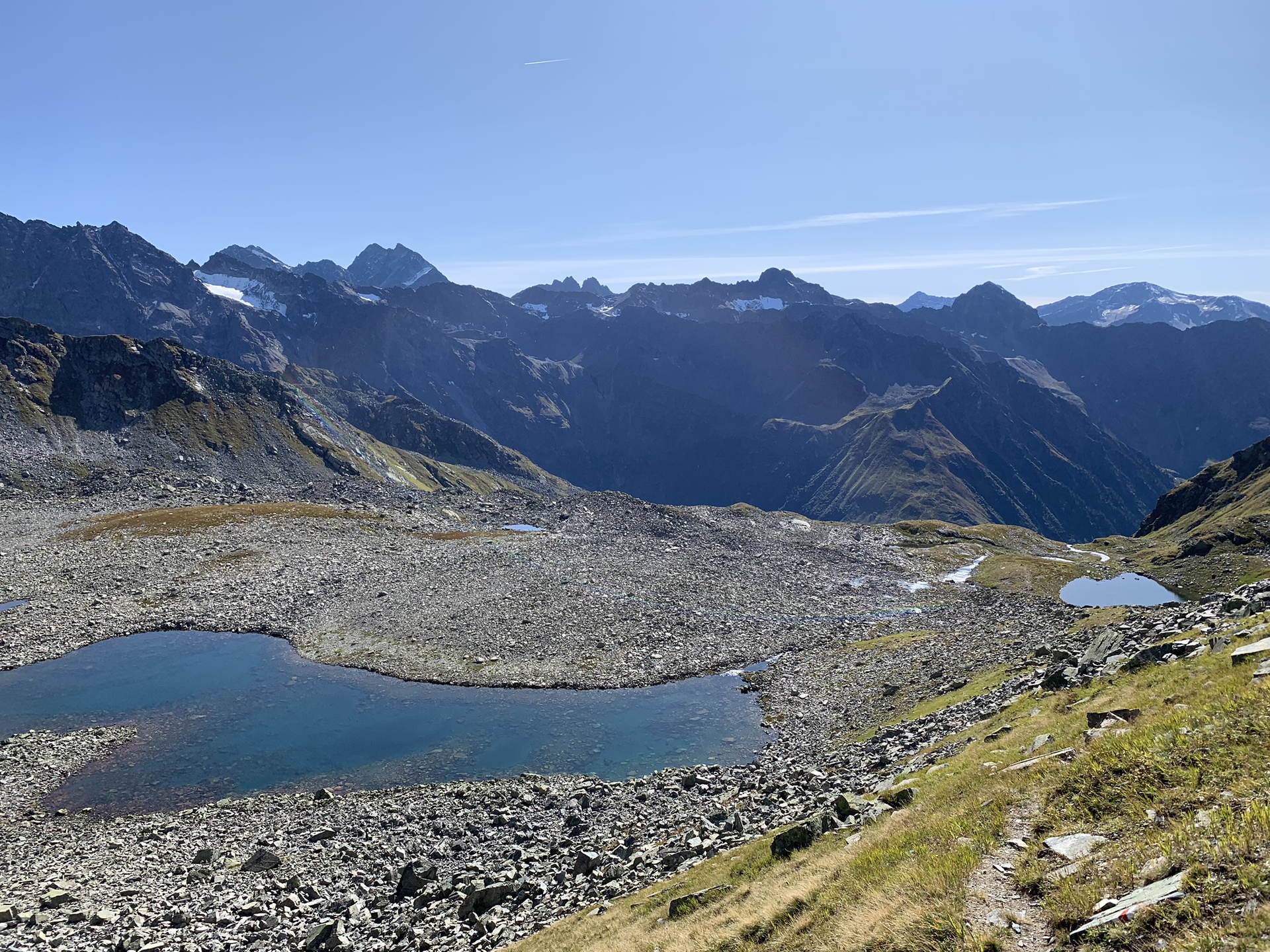
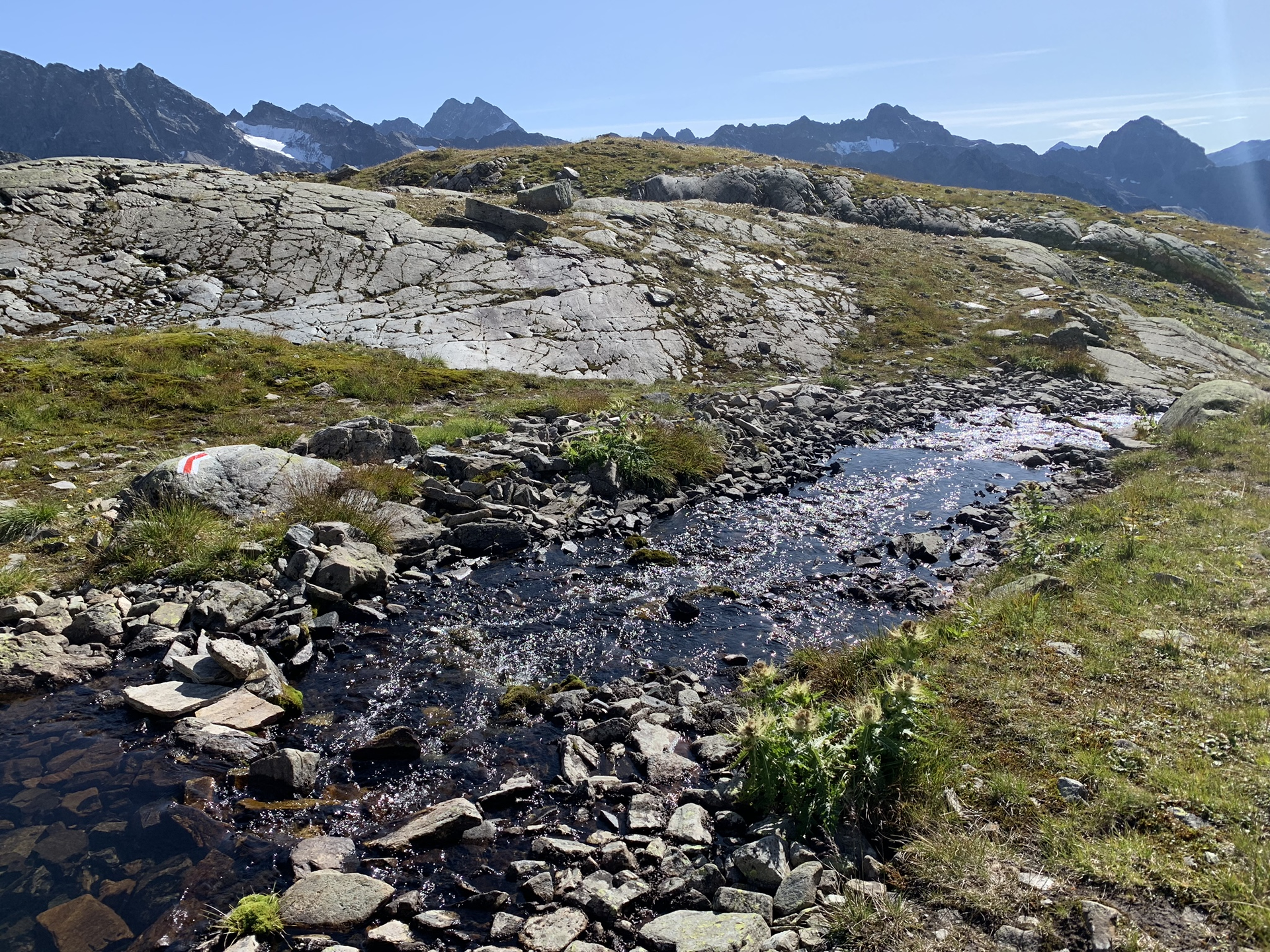
From the Tübinger Hut, climb up to the Plattenjoch. Here you cross the border into Switzerland. The route continues downhill past several mountain lakes heading south to the Seetalsee, where the Seetal self-catering hut is located. Shortly before the Seetal hut there is another ascent to the “Scharte”. Then it is downhill with only a slight ascent to the Silvretta Hut SAC.
Walking time approx. 6:30 h // approx. 12 km // Ascent 1,324 m, descent 1,186 m
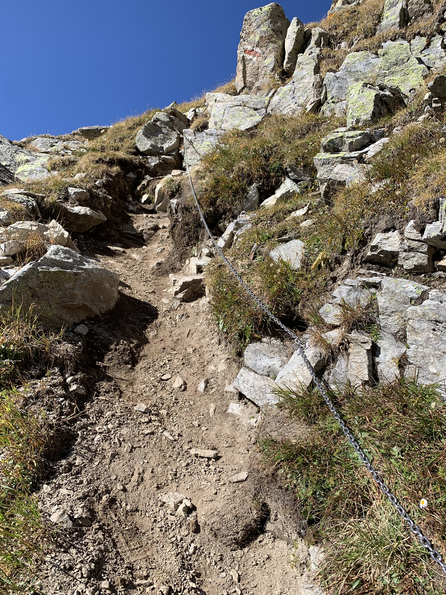
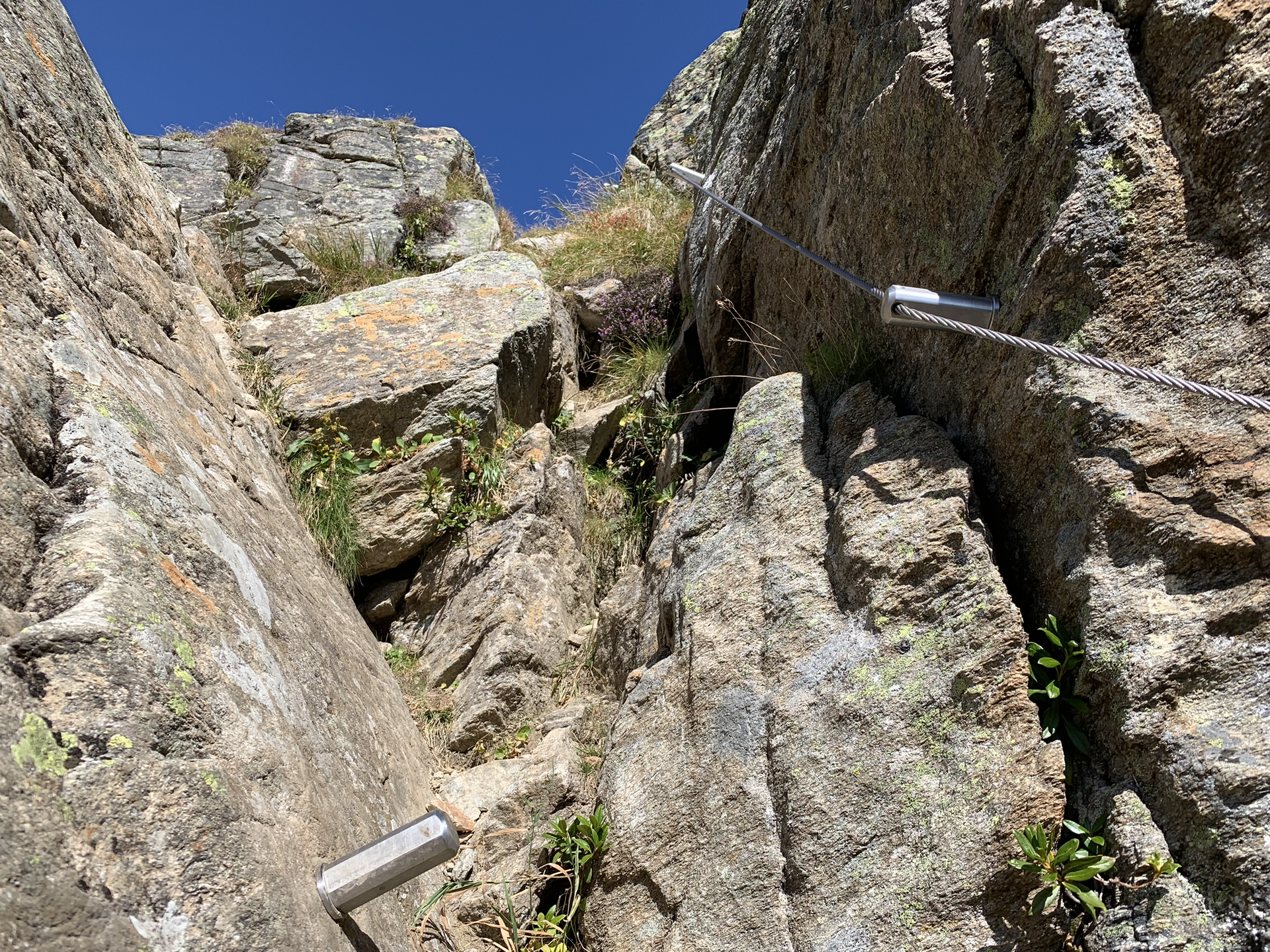
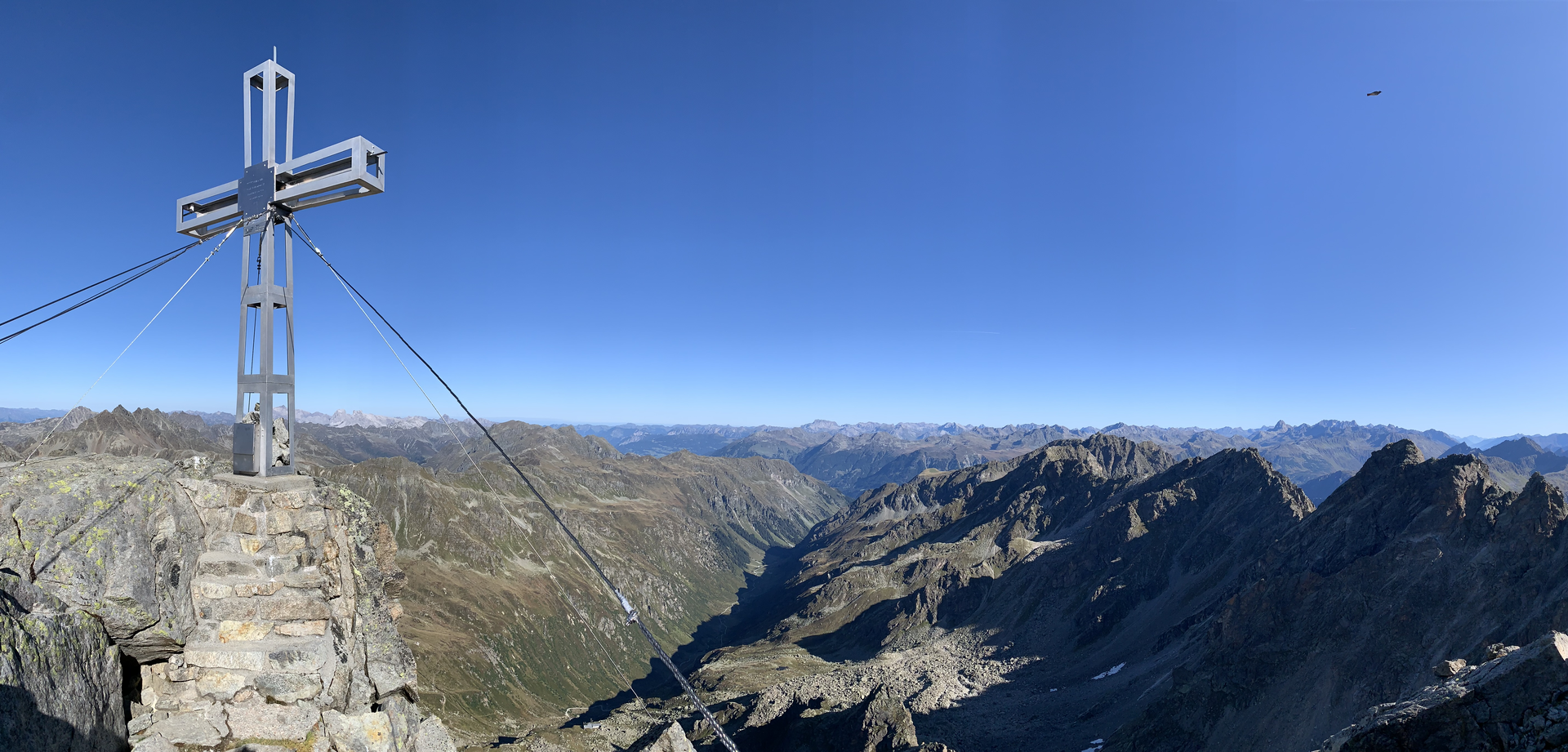
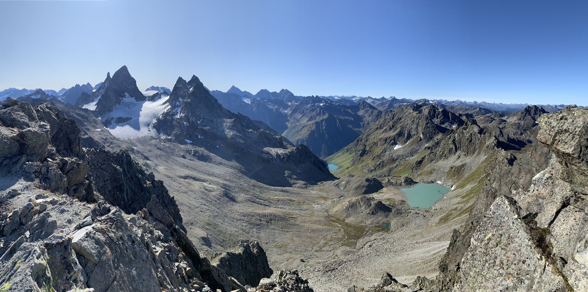
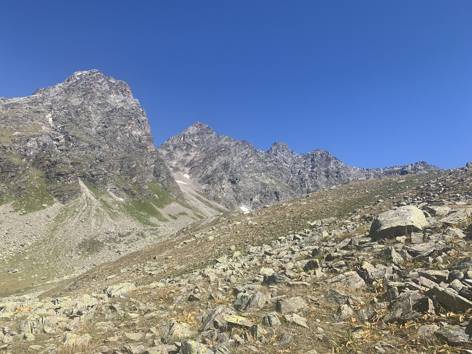
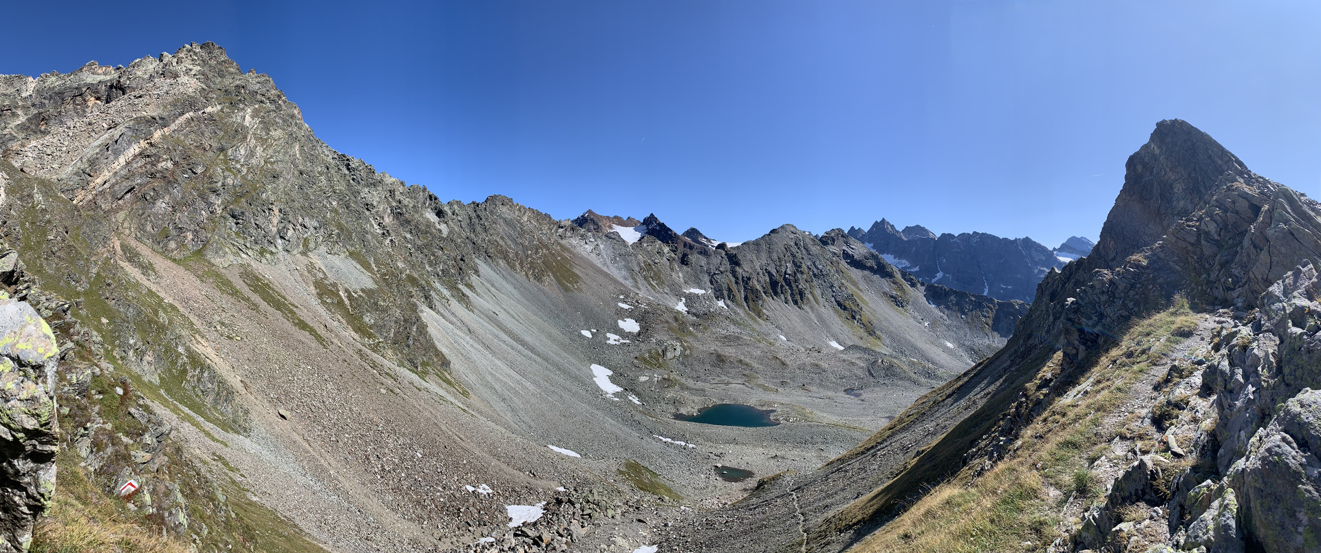
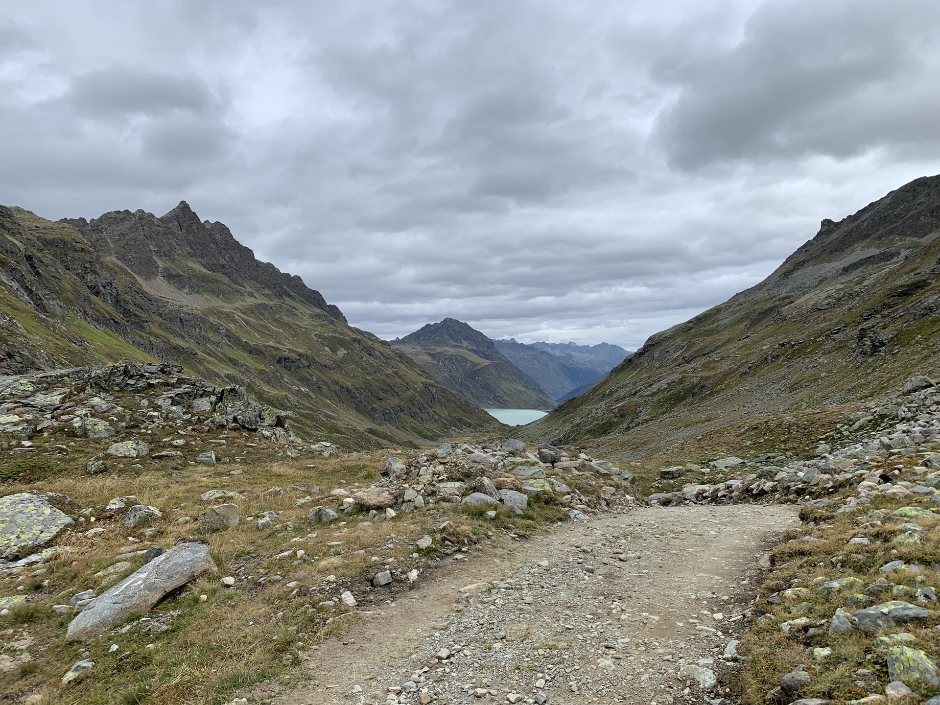
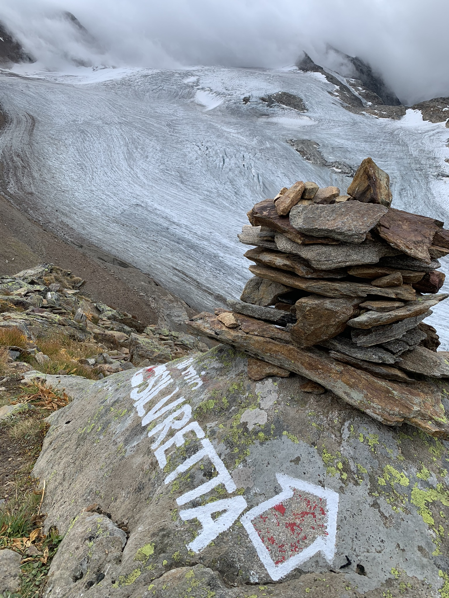
Stage 3: Silvretta Hut SAC (CH) - Silvretta-Bielerhöhe
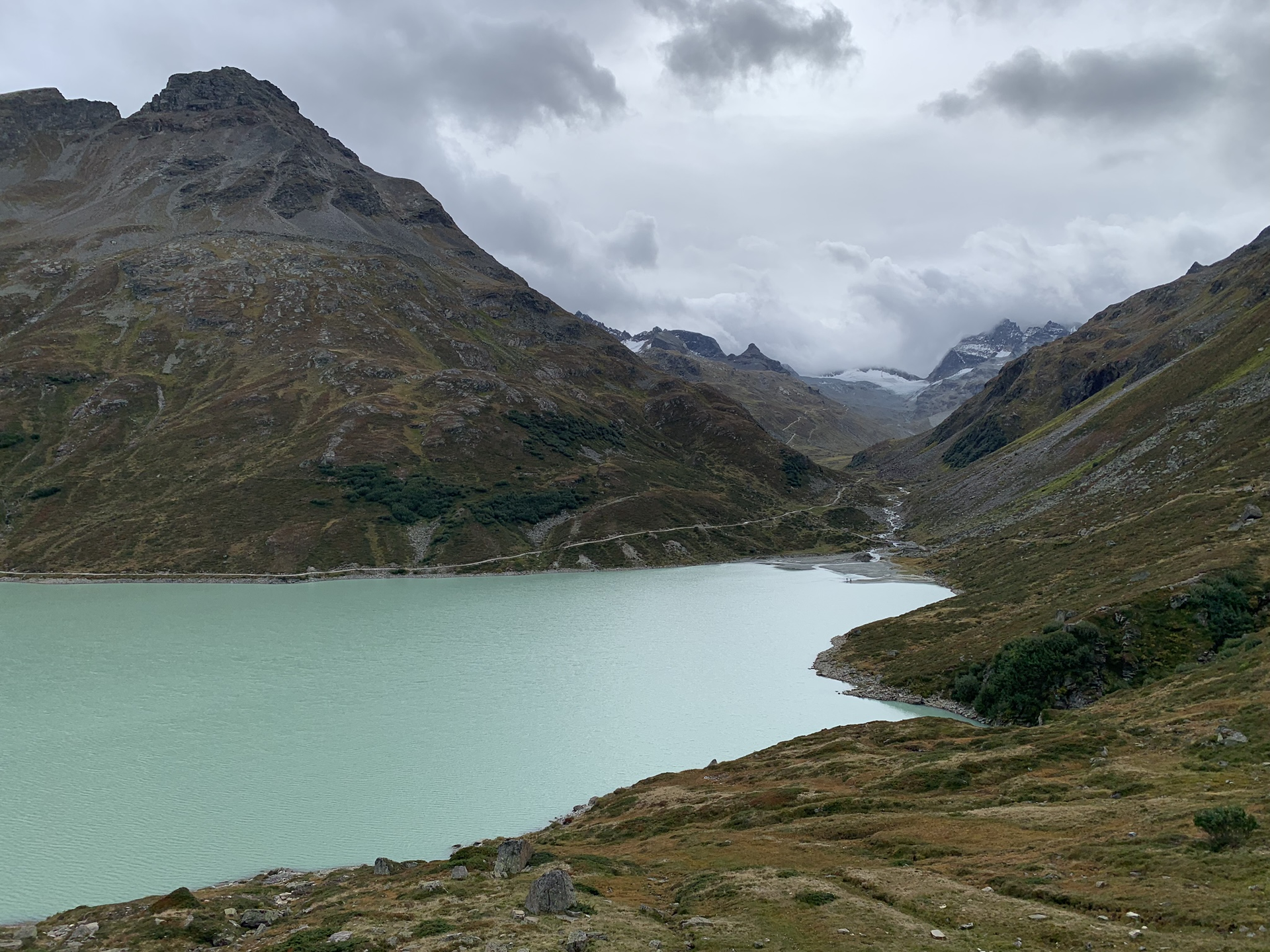
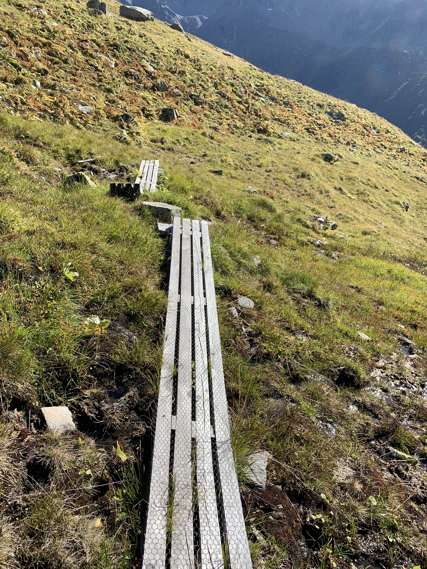
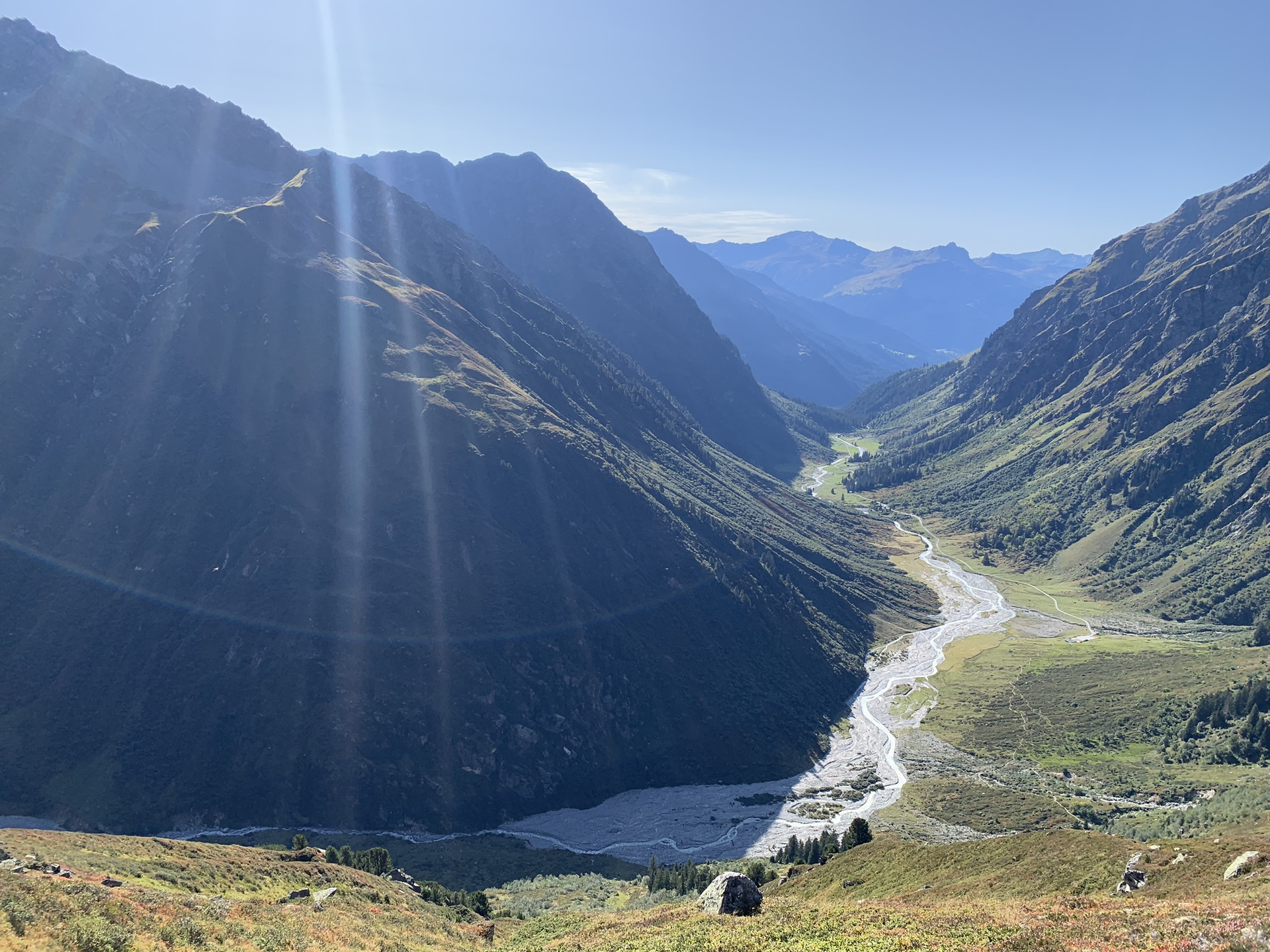
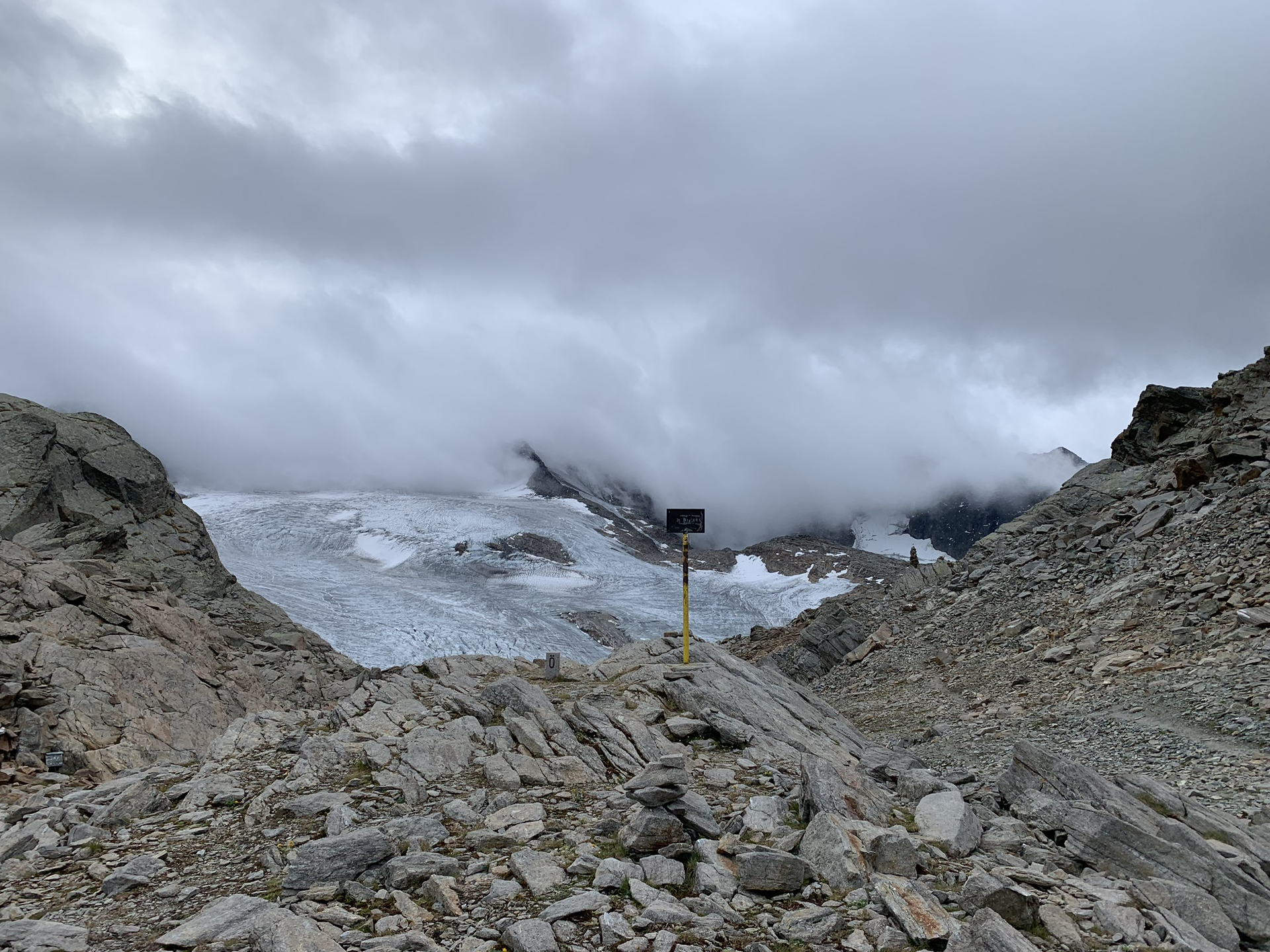
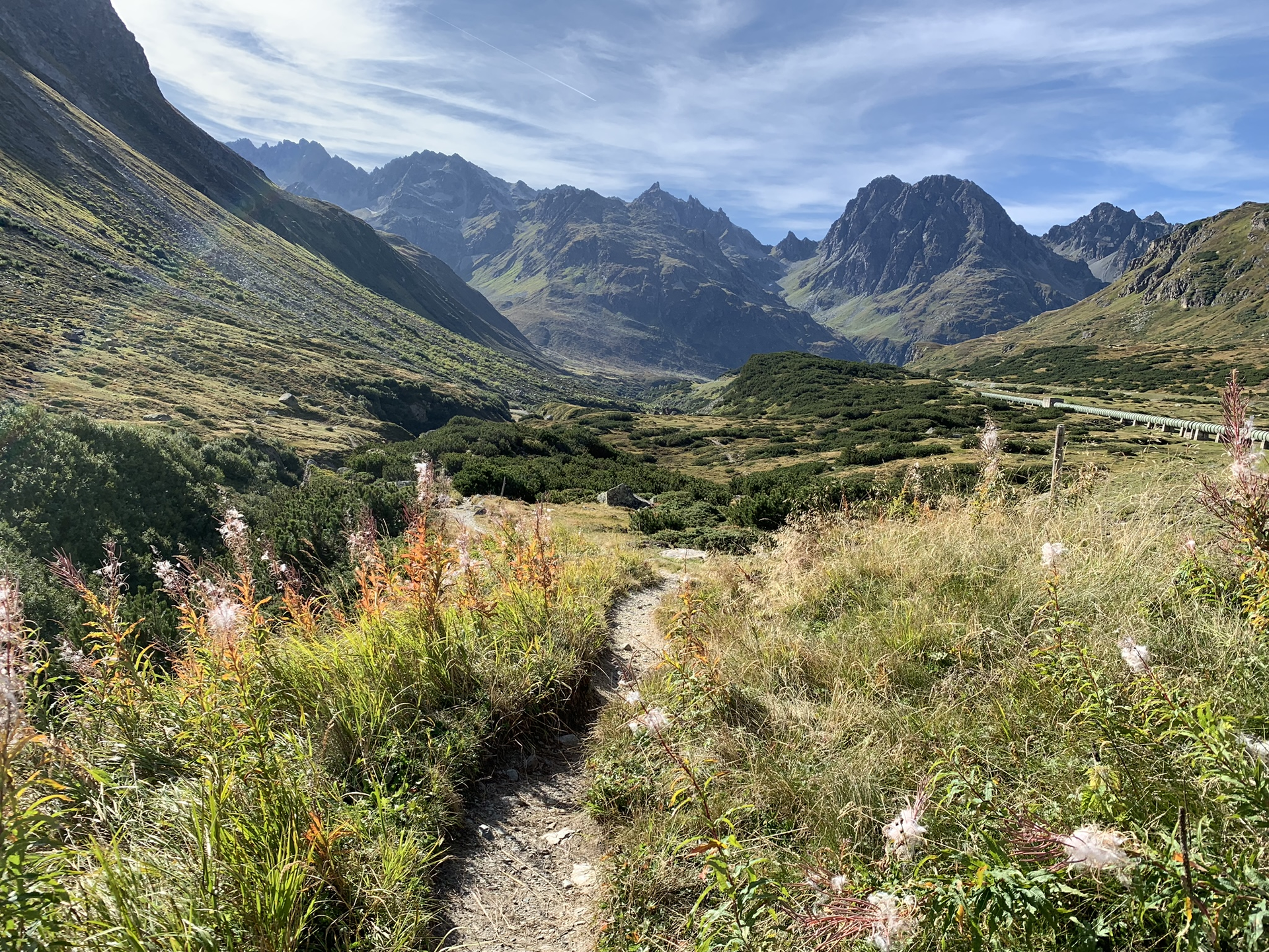
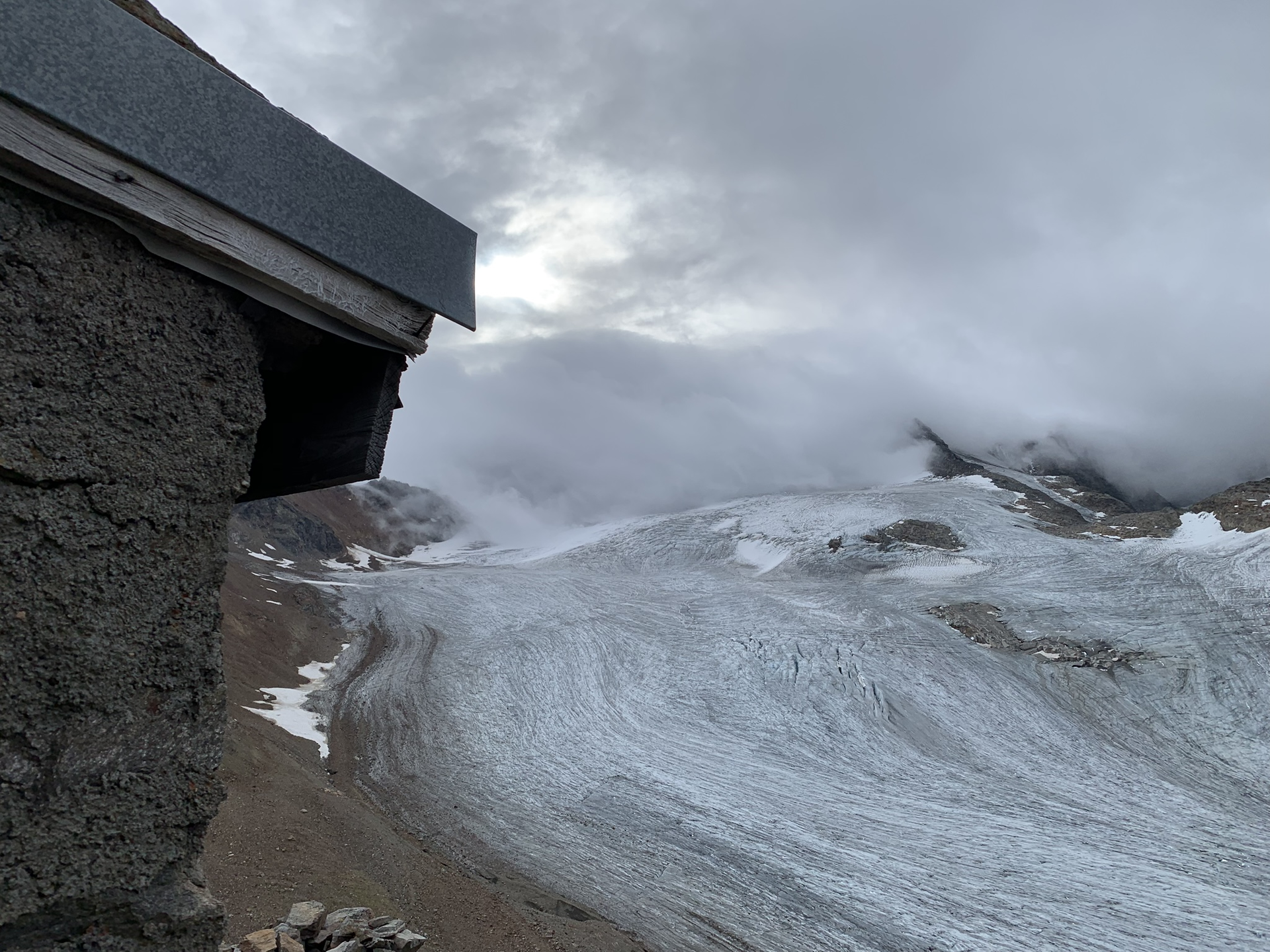
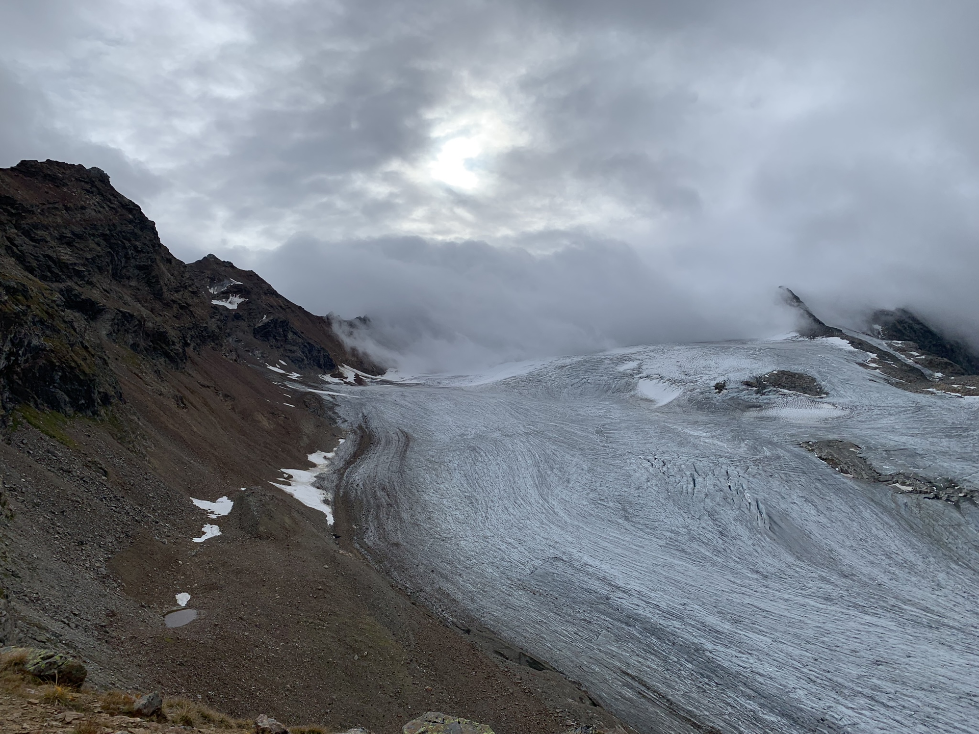
From the Silvretta Hut SAC, climb up to the “Red Furka”, passing the glacier tongue of the Silvretta Glacier. At the pass, you cross the border back into Austria. The final section goes downhill through the Klostertal to the Silvretta lake and further to Silvretta-Bielerhöhe. On the way, you pass the Klostertal Environmental Hut (self-catering hut).
Walking time approx. 3:30 h // approx. 10.3 km // Ascent 361 m, descent 663 m