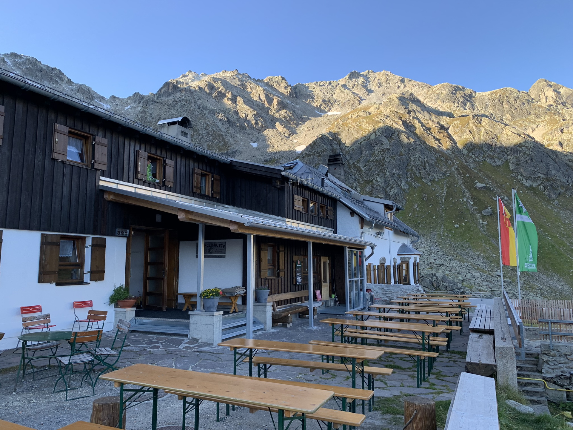
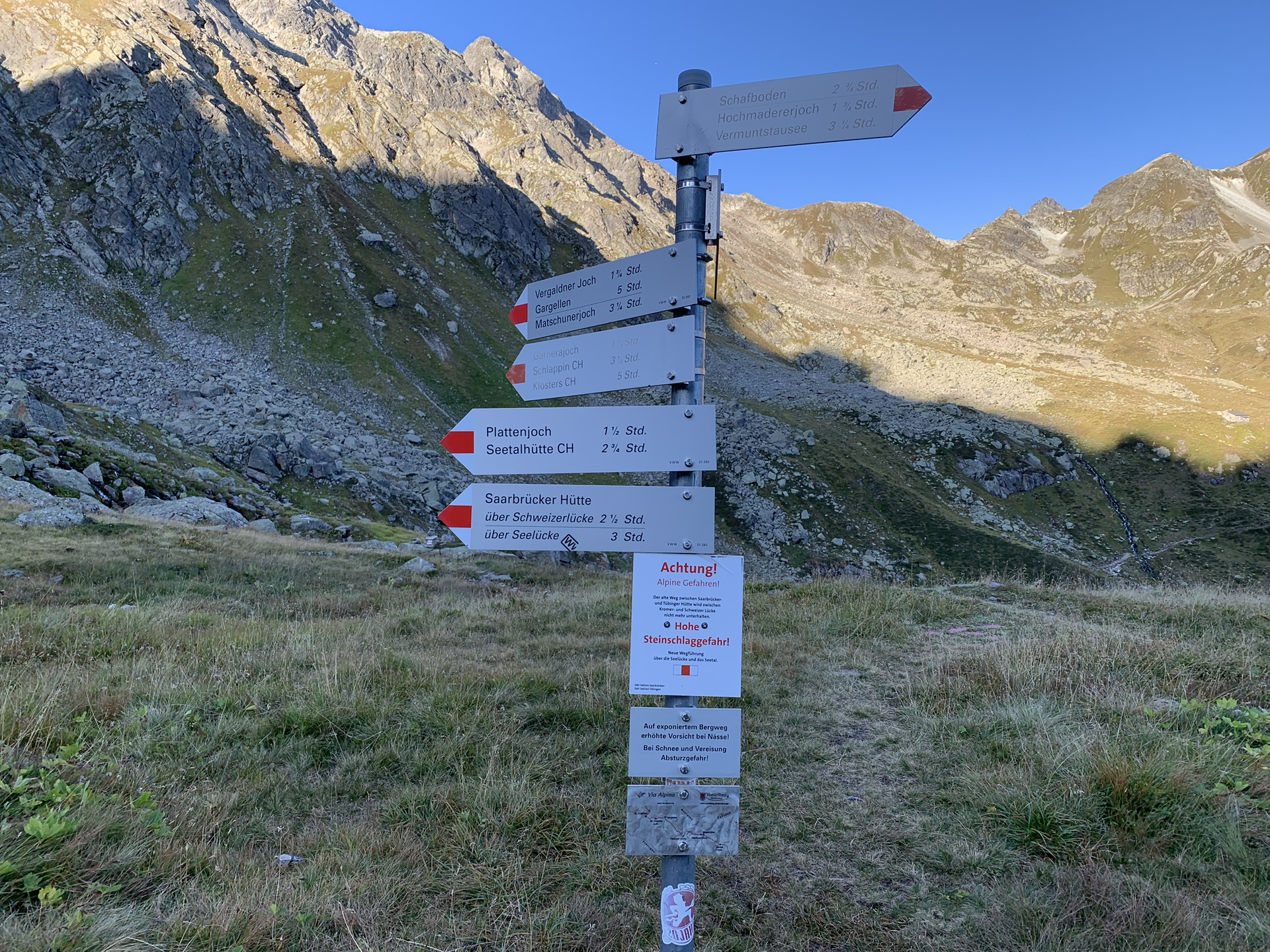
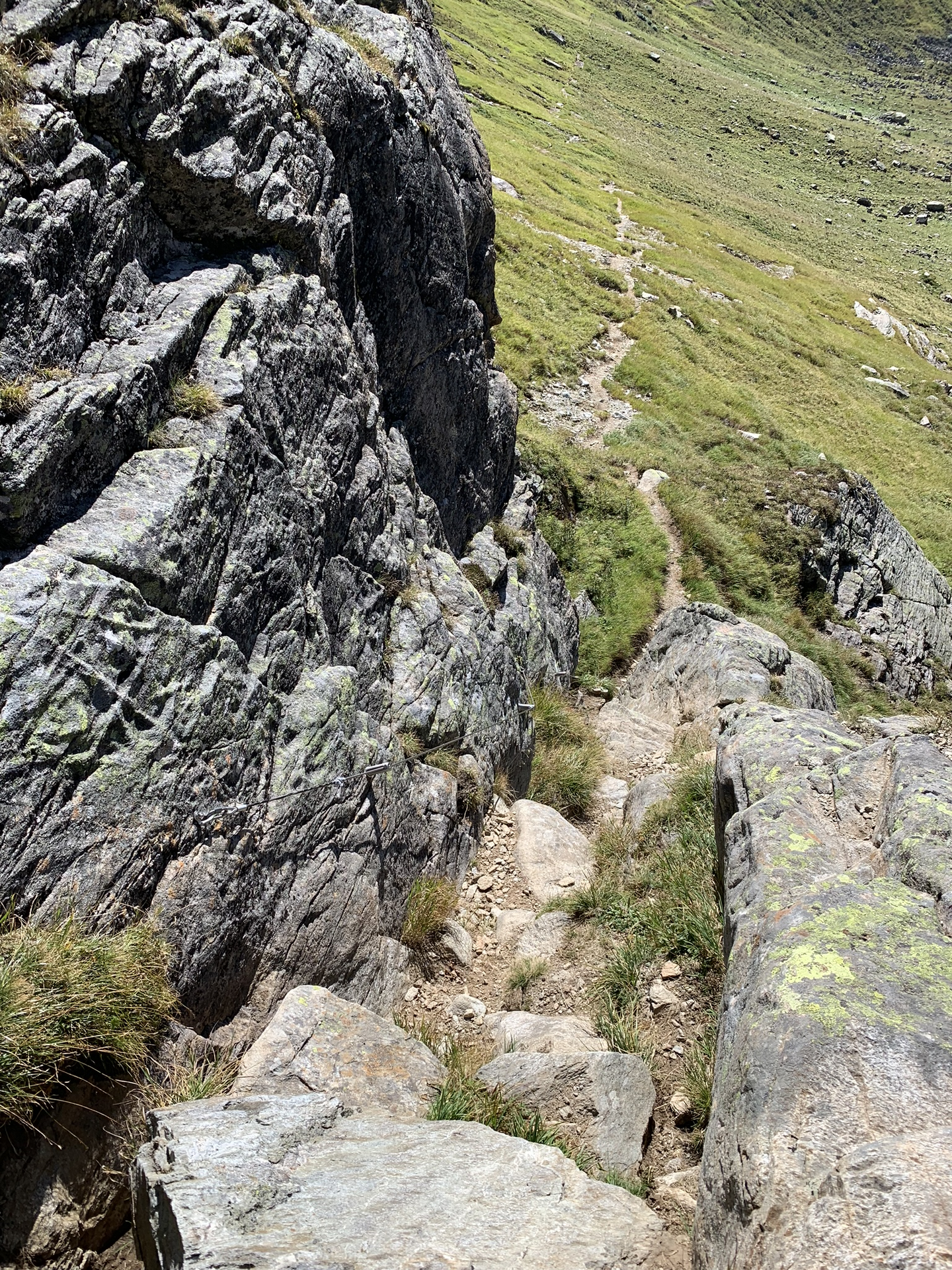
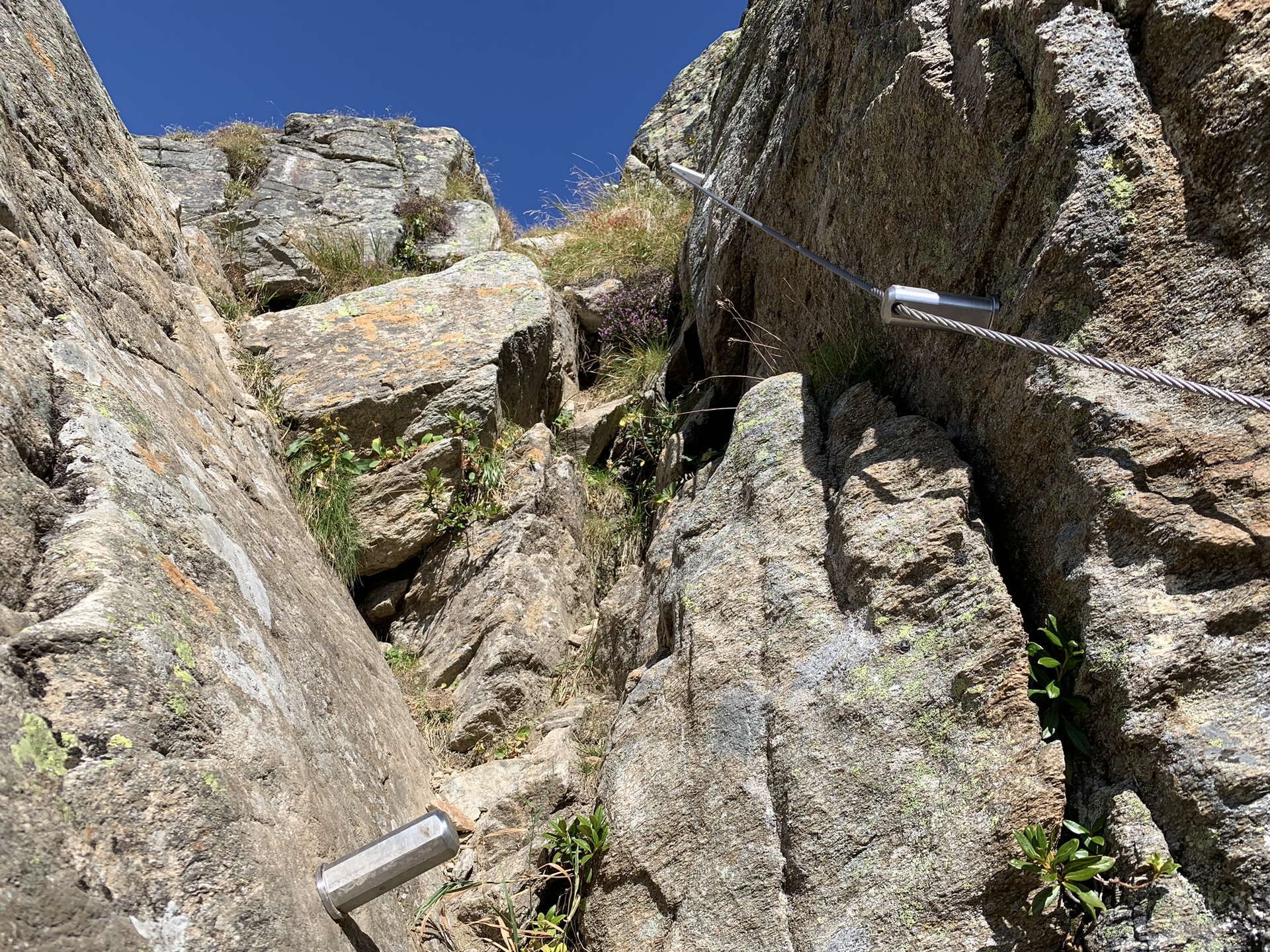
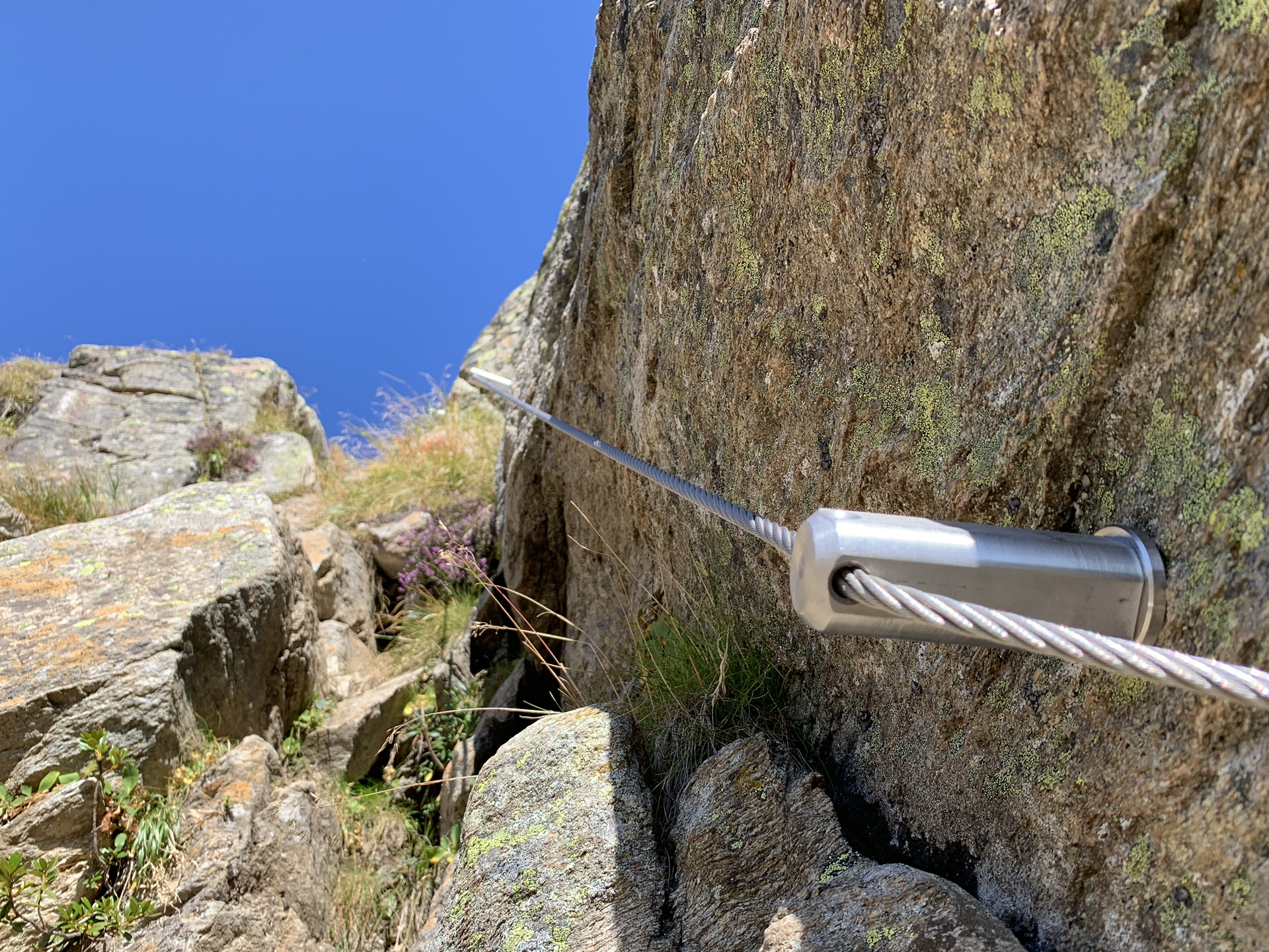
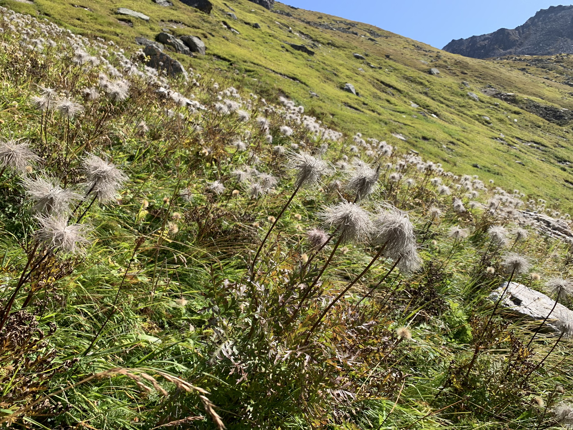
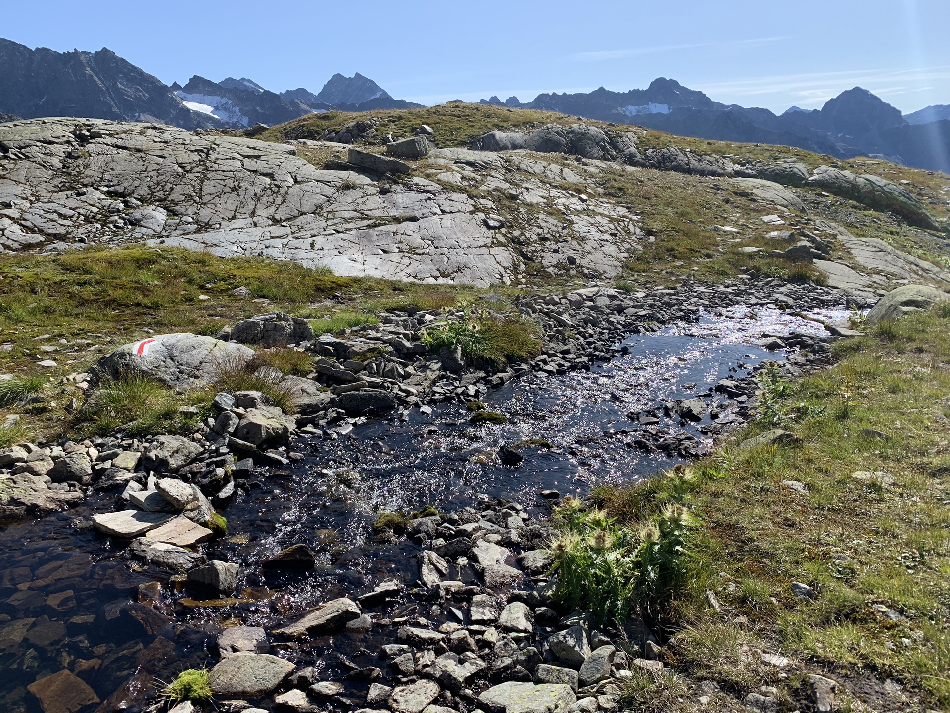
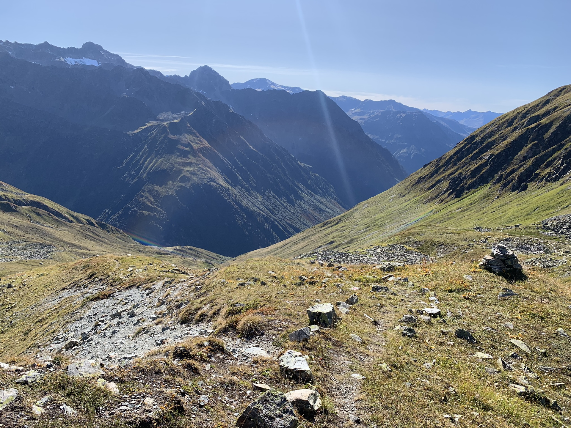
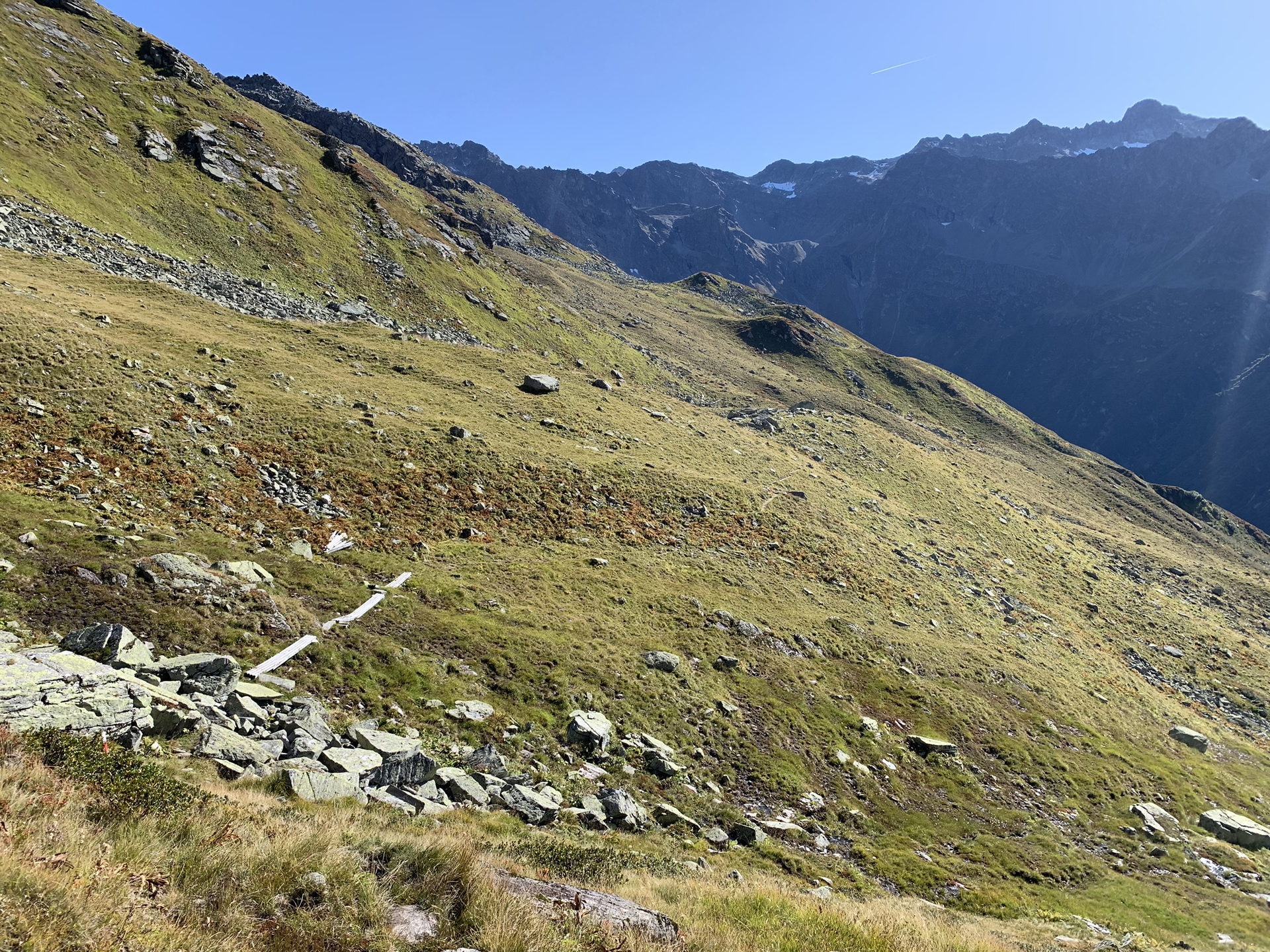
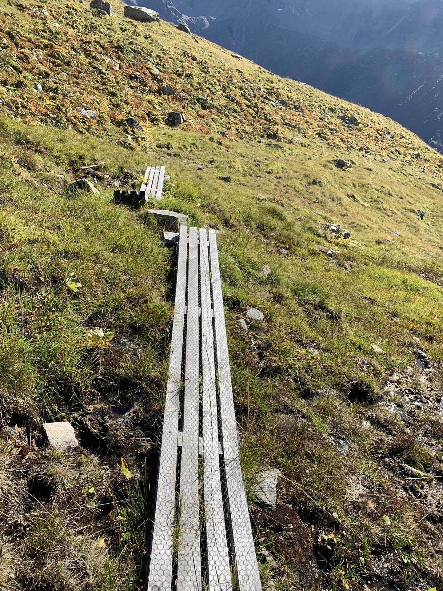
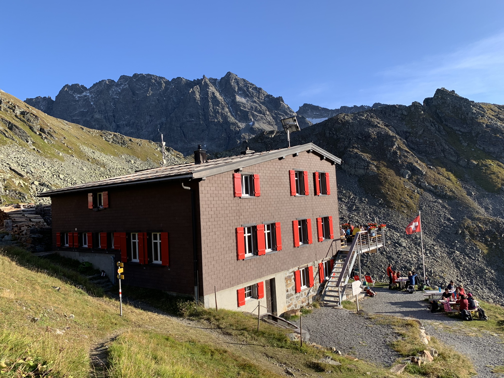
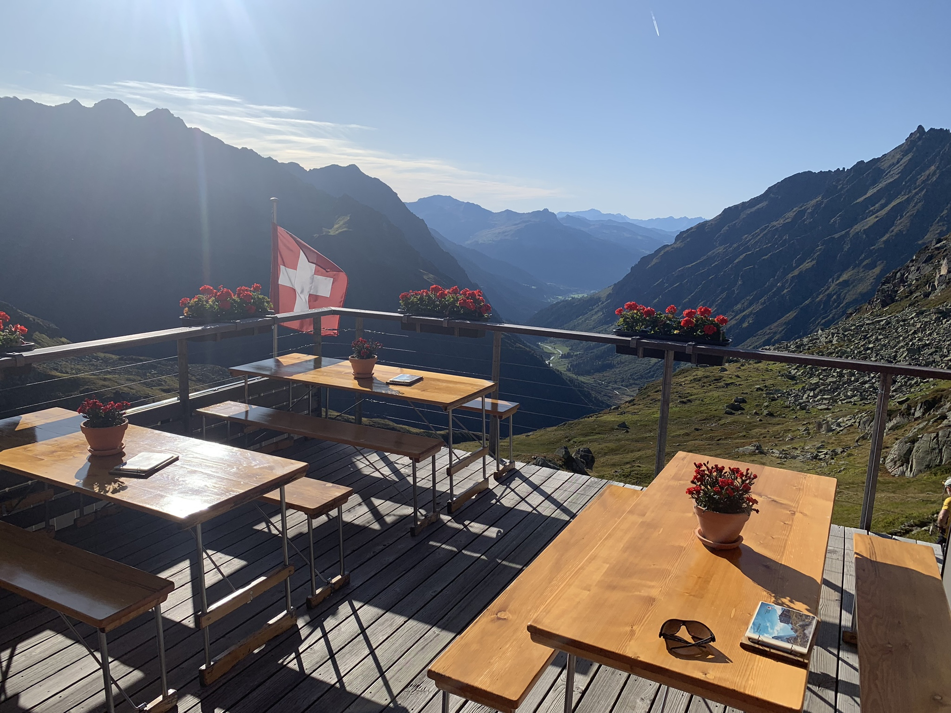
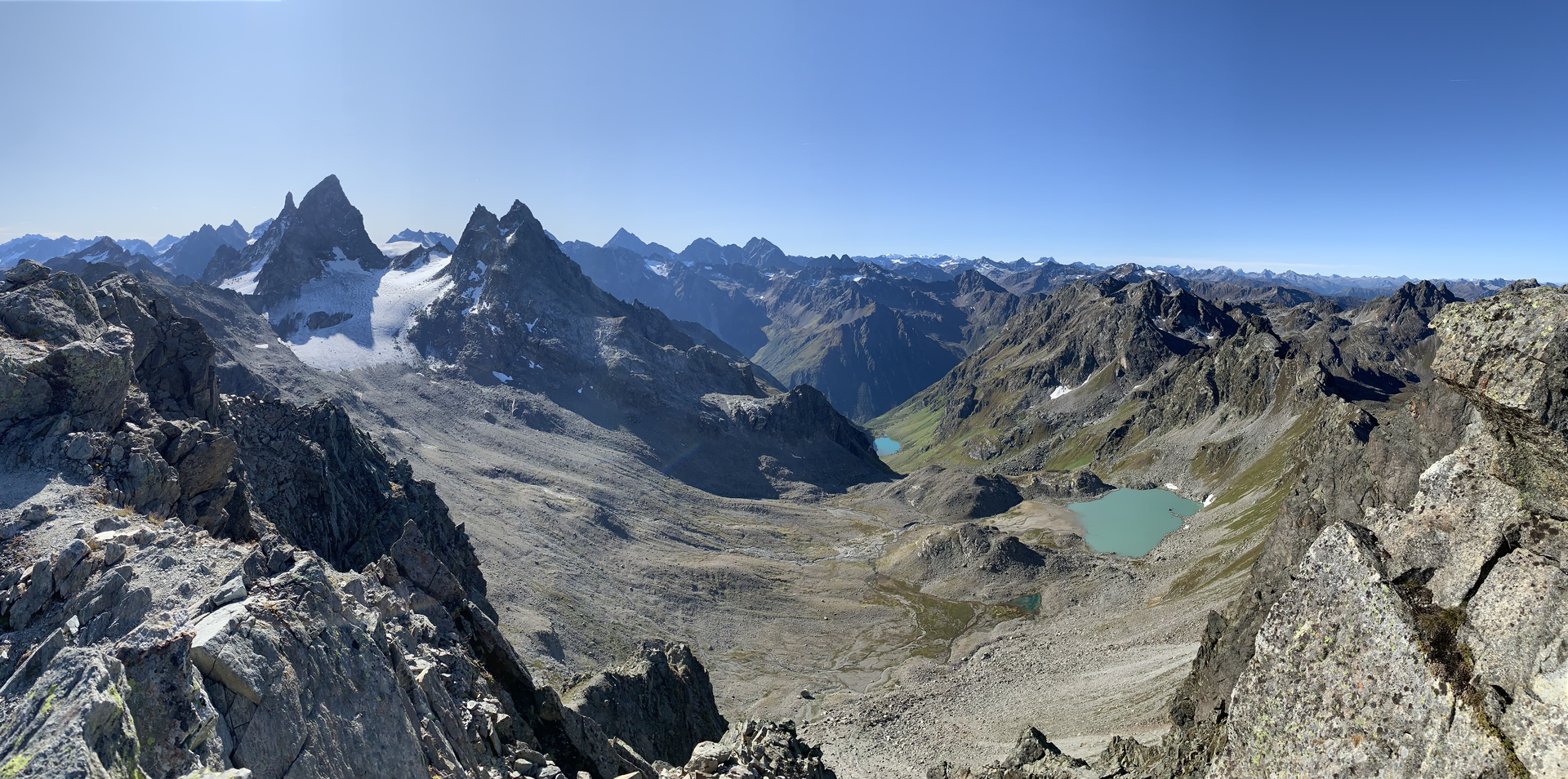
Montafoner Silvrettarunde ​|​ Tübinger Hütte to Silvrettahütte SAC ​(​CH​)​

Difficult
Alpenmosaik - Silvretta
Einkehrmöglichkeit
Mehrtagestour
Rundtour
Hiking · Alpine mosaic – Silvretta · Alpine mosaic · Refreshment stops · Multi-day tour · Round trip
06:30 h duration
12,0 km Länge
2727 m Höchster Punkt
2093 m Tiefster Punkt
1332 hm Aufstieg
1186 hm Abstieg
Kondition
Schwierigkeit
Erlebnis
Landschaft

Tourbeschreibung

Tübinger Hütte - Plattenjoch - lake - notch - Silvrettahütte SAC (CH)

Description

The path over the alpine pass Plattenjoch leads into Switzerland and is a real border experience. After a barren rocky environment on the northern side of the mountain ridge, you will find on the southern side a high alpine landscape covered with moss and meadows. Individual turquoise mountain lakes are the last traces left by the retreating glaciers here.

Important: For this demanding route, you should plan your personal daily stages and reserve overnight stays at the huts in advance!

Public transport

Depending on the approach to the Tübinger Hütte.

The regional buses of the Montafonerbahn operate throughout the Montafon. The main lines run hourly from Schruns station.

You can reach Schruns station by the regional buses of the Montafonerbahn. The final stop is always Schruns station.

The path on foot to the town center leads along the Bergknappenweg to Bartholomäberg.

vmobil.at

Arrival by train

From Bludenz station, the Montafonerbahn runs hourly (partly every half hour). There are also direct connections from Lindau (D) and from Bregenz.

vmobil.at

Parking

depending on the approach,

  • Parking lot Versettlabahn Gaschurn
  • Parking lot Vermuntsee
  • Parking lot Silvretta Biehlerhöhe
Directions

From the Tübinger Hütte the ascent to Plattenjoch follows. Here you pass the border to Switzerland. Then it goes downhill past several mountain lakes heading south until reaching the Seetalsee where the Seetal self-catering hut is located. Shortly before the Seetal hut there is another ascent to the “notch”. Then it goes downhill with only a slight ascent to the Silvrettahütte SAC.

Alpine mountain path – may include safety ropes and aids for footing!

Safety instructions

EMERGENCY CALL: 144

European emergency number 112 (works with any mobile phone/network)

www.vorarlberg.travel/sicherheitstipps

Equipment

sturdy footwear

(also warm clothing even in midsummer)

Tips

Due to the high demand at the huts, we recommend reserving sleeping places directly at the huts early enough.

Destination

Silvrettahütte SAC (CH)

Starting Point

Tübinger Hütte

Eigenschaften
Routentyp Hiking, Alpine mosaic – Silvretta, Alpine mosaic, Refreshment stops, Multi-day tour, Round trip
Schwierigkeit Difficult
Höhenprofil
Beste Jahreszeit
Jan
Feb
Mär
Apr
Mai
Jun
Jul
Aug
Sep
Okt
Nov
Dez