Silvretta​-​Bielerhöhe to Saarbrücker Hütte ​(​2​-​538 m​)​ and back

Difficult
Einkehrmöglichkeit
Rundtour
Hiking · Refreshment stops · Round trip
05:30 h duration
20,4 km Länge
2541 m Höchster Punkt
1909 m Tiefster Punkt
771 hm Aufstieg
771 hm Abstieg
Kondition
Schwierigkeit
Erlebnis
Landschaft

Tourbeschreibung

Silvretta-Bielerhöhe - Tschifernella - Saarbrücker Hütte - Schwarze Böden - Großvermunt - Silvretta-Bielerhöhe

Approach

Take the A14 to the Bludenz/Montafon exit and continue on Montafonerstraße L188. Via Partenen you reach the Silvretta High Alpine Road (toll required), which leads you to Silvrettasee.

Public transport

Just leave your car parked

The regional buses operate throughout Montafon. The main lines run every half hour from Schruns train station.

Bus stop at the start/finish of the route: Bielerhöhe Silvrettasee / Line 650

Timetable: www.vmobil.at

Arrival by train to Montafon

From Bludenz train station, the Montafonerbahn runs hourly (sometimes every half hour). There are also direct connections from Lindau (D) and Bregenz.

Timetable: www.oebb.at

Parking

Silvrettasee parking lot

Directions

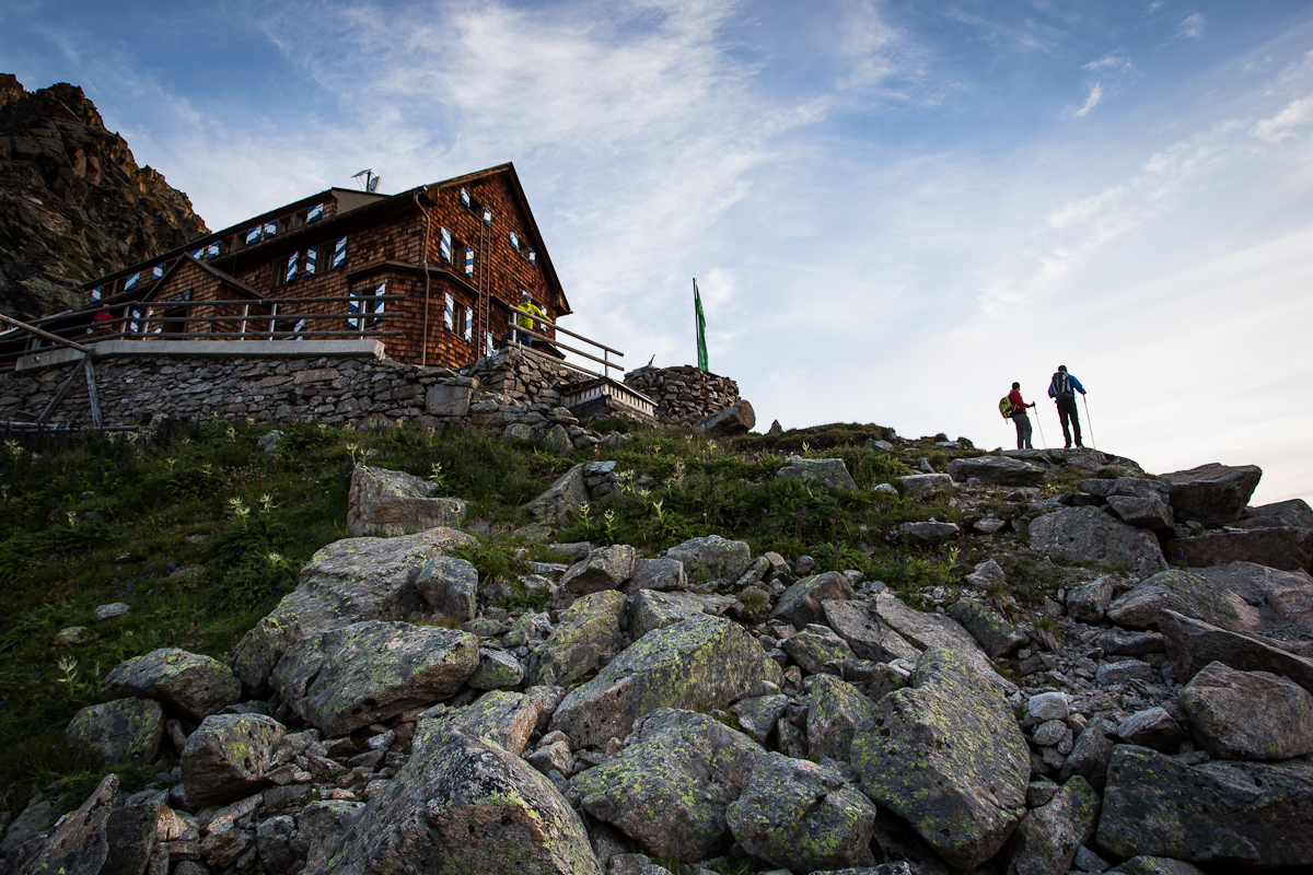
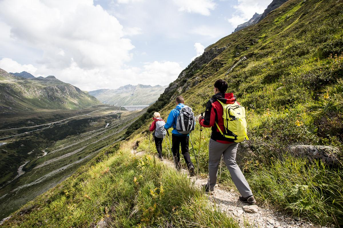
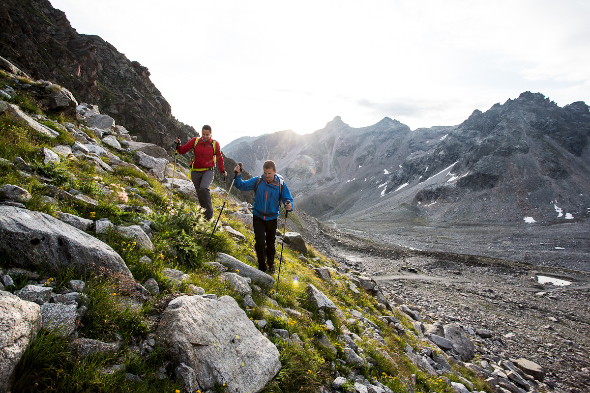
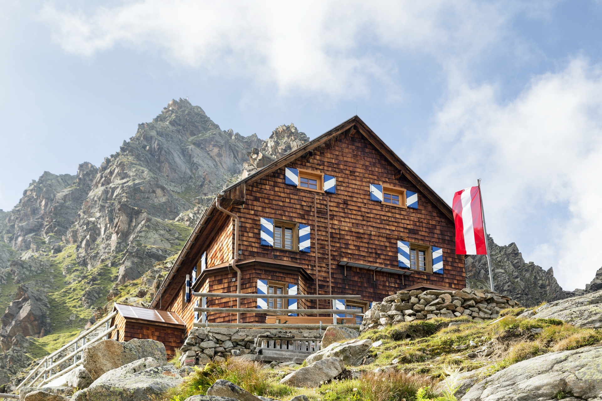
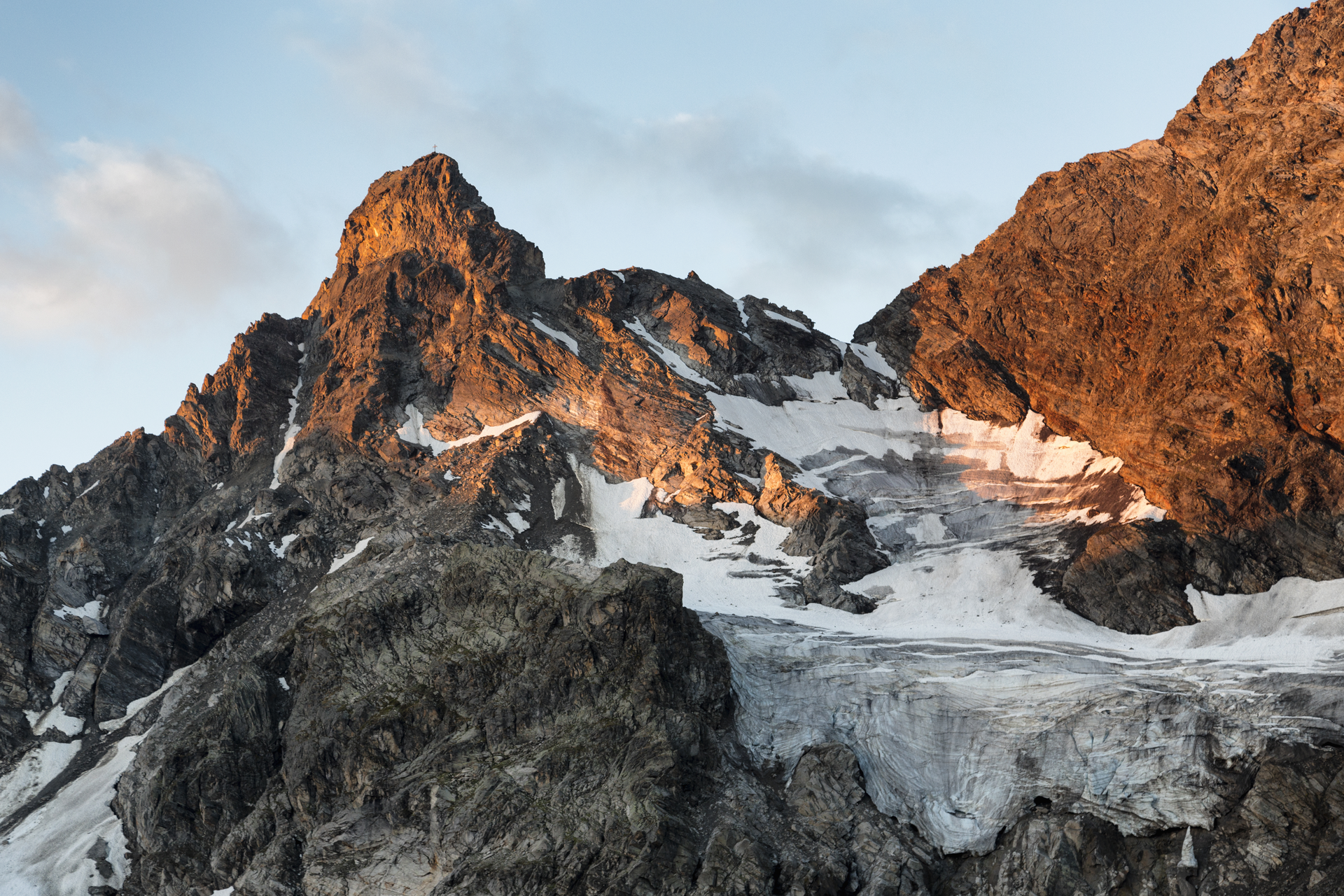
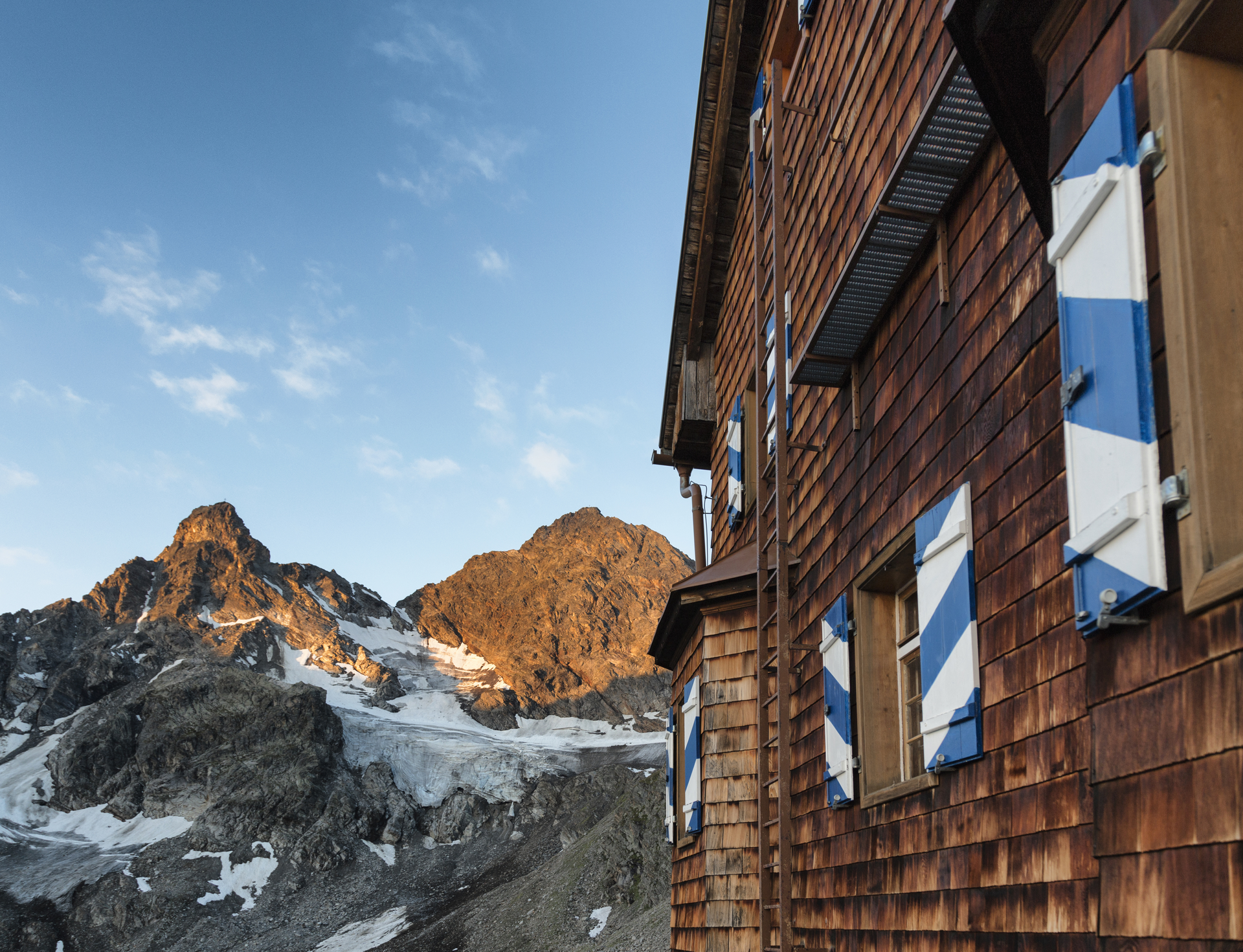
The starting point of this hike is the Silvretta-Bielerhöhe, which is accessible via the toll Silvretta High Alpine Road. From there, you first start downhill, passing the Madlenerhaus before beginning the ascent after crossing the Ill river. A signpost then leads us to the left. Some time before reaching the Saarbrücker Hütte, you can already see it - even before passing the 2 idyllic mountain lakes. On the sunny terrace of the hut, you can excellently admire the surrounding mountain scenery. When descending from the hut, we keep left and hike past the Schwarze Böden through the Kromertal valley back toward Großvermunt. At the Kromerbach location, a signpost leads us right, past the Madlenerhaus back to the Silvretta-Bielerhöhe.

Safety instructions

EMERGENCY NUMBER:
140 Alpine emergencies Austria-wide
144 Alpine emergencies Vorarlberg
112 Euro emergency number (works with any mobile phone/network)
www.vorarlberg.travel/sicherheitstipps

Destination

Bus stop Silvrettasee, Silvretta-Bielerhöhe

Starting Point

Bus stop Silvrettasee, Silvretta-Bielerhöhe

Eigenschaften
Routentyp Hiking, Refreshment stops, Round trip
Schwierigkeit Difficult
Höhenprofil
Beste Jahreszeit
Jan
Feb
Mär
Apr
Mai
Jun
Jul
Aug
Sep
Okt
Nov
Dez