Silvretta Lake Shore Circuit

Moderate
geschlossen
Familienfreundlich
Rundtour
Trail running | Running · Round trip · Family-friendly
00:50 h duration
6,61 km Länge
2089 m Höchster Punkt
2034 m Tiefster Punkt
55 hm Aufstieg
63 hm Abstieg
Kondition
Schwierigkeit
Erlebnis
Landschaft

Tourbeschreibung

Silvretta-Bielerhöhe - Dam - Entrance Ochsental - Entrance Klostertal - Dam Wall - Silvretta-Bielerhöhe
Description

Dining options directly at Silvretta-Bielerhöhe. Experience points with views of Piz Buin and the Ochsental Glacier.

Leisurely lake circuit with impressive views of Piz Buin and the Ochsental Glacier.

Approach

Coming from Bludenz, take the motorway exit Bludenz/Montafon and follow the L188 into Montafon until Partenen. At the edge of Partenen, take the Silvretta High Alpine Road (toll road) up to Silvretta-Bielerhöhe.

www.maps.google.com

Public transport

Just leave your car parked

The Montafonerbahn regional buses operate throughout the Montafon area. The main lines run hourly from Schruns station.

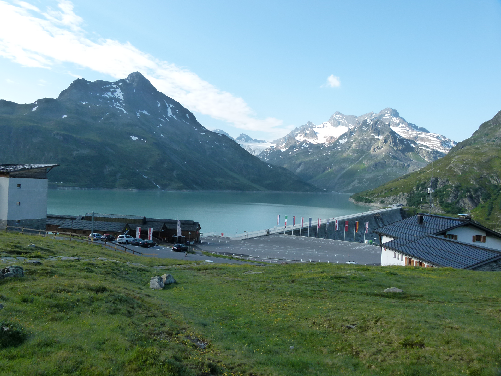
From Schruns station, you reach the Silvretta-Bielerhöhe via bus line 85 crossing Partenen and the Silvretta High Alpine Road (toll road). The stop is: "Silvretta Reservoir".

For the return trip

With bus line 85 you get back from Partenen to Schruns station.

Bus Timetables mbs

Arrival by train

From Bludenz station, the Montafonerbahn runs hourly (sometimes every half hour). There are also direct connections from Lindau (Germany) or Bregenz.

Train Timetable mbs

Parking

Free parking is available along the Silvretta Lake.

Directions

The lake circuit starts directly at the Silvretta-Bielerhöhe parking lot. After about 20 minutes, a powerful foaming mountain stream flows into the lake from the left. After another 20 minutes, you reach the entrance to the Ochsental. Here the Ill flows into the lake as a wild mountain stream. Then continue along the lake, and shortly after, you reach the entrance to the Klostertal, which you pass through. Follow the path further and, after about 20 minutes, you reach the starting point again.

Safety instructions

EMERGENCY CALL: 144
European emergency number: 112 (works with any mobile/ network)

http://www.vorarlberg.travel/sicherheitstipps

Literature

Hiking Map

  • Numberobject_container_element1746_object_def124
  • Publisherobject_container_element1747_object_def125
  • Titleobject_container_element1748_object_def180
  • Scaleobject_container_element1749_object_def126
  • Print Editionobject_container_element1752_object_def129
  • Digital Editionobject_container_element1751_object_def128

Additional Hiking Map

  • Print Editionobject_container_element1759_object_def129
  • Digital Editionobject_container_element1758_object_def128
Destination

Silvretta-Bielerhöhe

Starting Point

Silvretta-Bielerhöhe

Eigenschaften
Routentyp Trail running | Running, Round trip, Family-friendly
Schwierigkeit Moderate
Höhenprofil
Beste Jahreszeit
Jan
Feb
Mär
Apr
Mai
Jun
Jul
Aug
Sep
Okt
Nov
Dez